Pine Barrens Tavern: E-Biking Atsion-Quaker Bridge

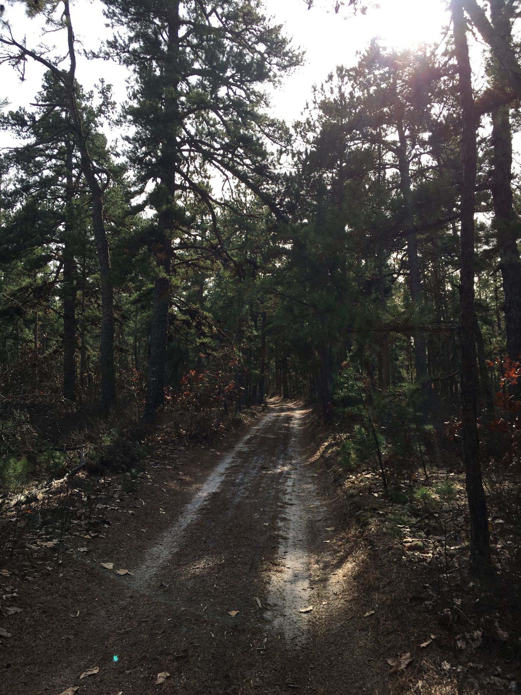
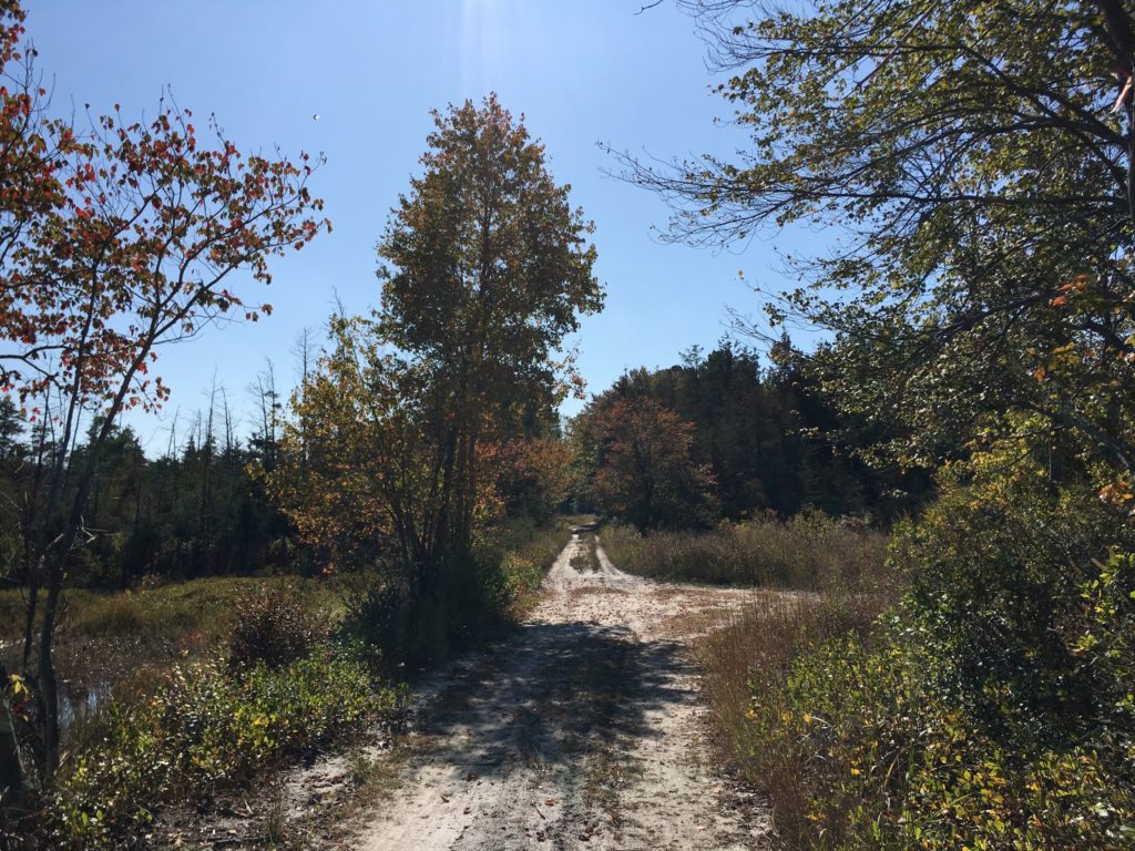
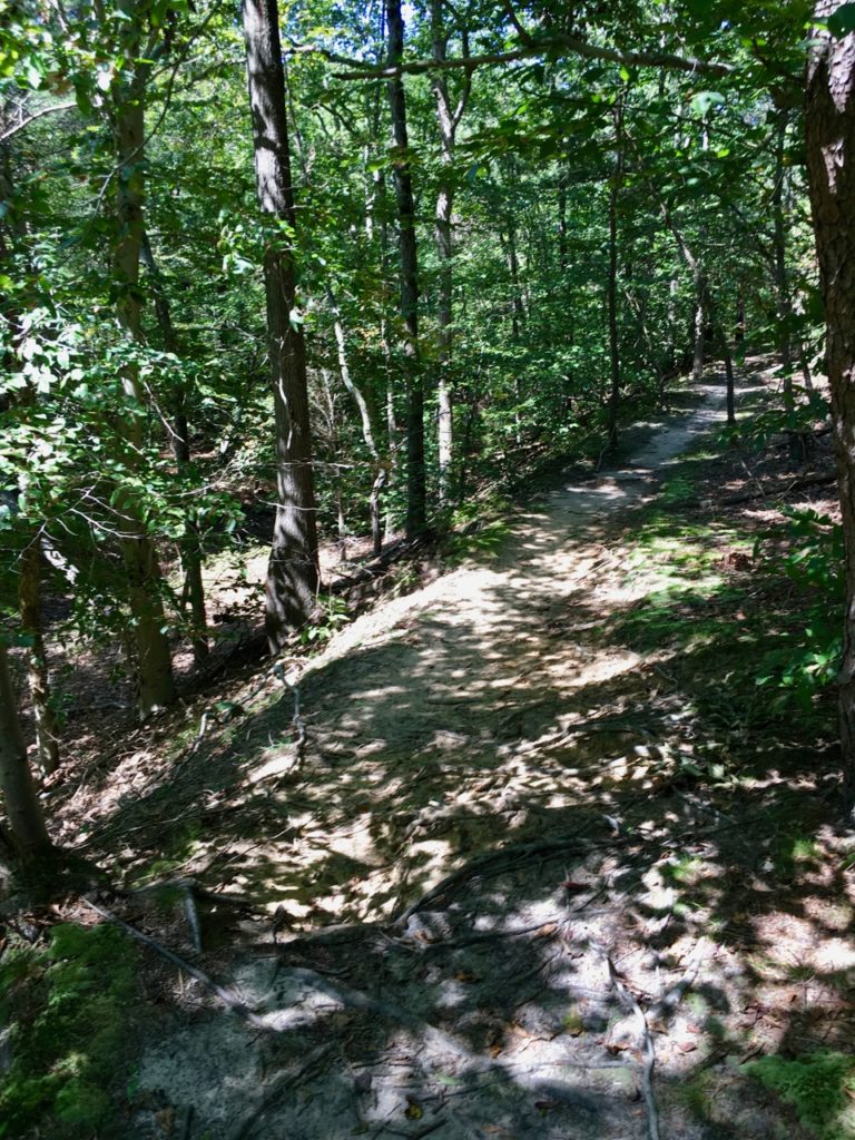
Sand road southeast of Atsion. Source: TCM

Some would call the region through which it passes “desolate”; a better word would be “subtle”

A.D. Pierce, Iron in the Pines 1957

By the 1700s, a road, which likely followed a pre-existing Native American trail, ran from Camden, New Jersey, to the port town of Tuckerton on the Atlantic coast. According to local histories, to make their travel to yearly meetings easier, Quakers built a bridge over the Batsto River around 1772. The bridge predictably became known as the Quaker Bridge, and the road that passed over it became Quaker Bridge Road. In the 1800s, horse-drawn stage coaches regularly carried both mail and passengers through the Pine Barrens along this route.

In 1809, Arthur and Elizabeth Thompson opened the Quaker Bridge Hotel, also known as Thompson’s Tavern, just south of the bridge. The tavern remained open until at least 1850. Any remnants of the building vanished many years ago.

The area is now part of Wharton State Forest and Quaker Bridge Road is still a sandy trail through the barrens. On a pleasantly warm November day, there were few other people around: another (non-electric) fat bike, some hikers, a big dog, a couple of motorcycles, one jeep. From Atsion, a former company town and farming community, to the Quaker Bridge is about four miles. With some diversions, my round trip was 15 miles.

The 1826 Atsion Mansion and the remains of a concrete barn from the early 1900s. Source: TCM
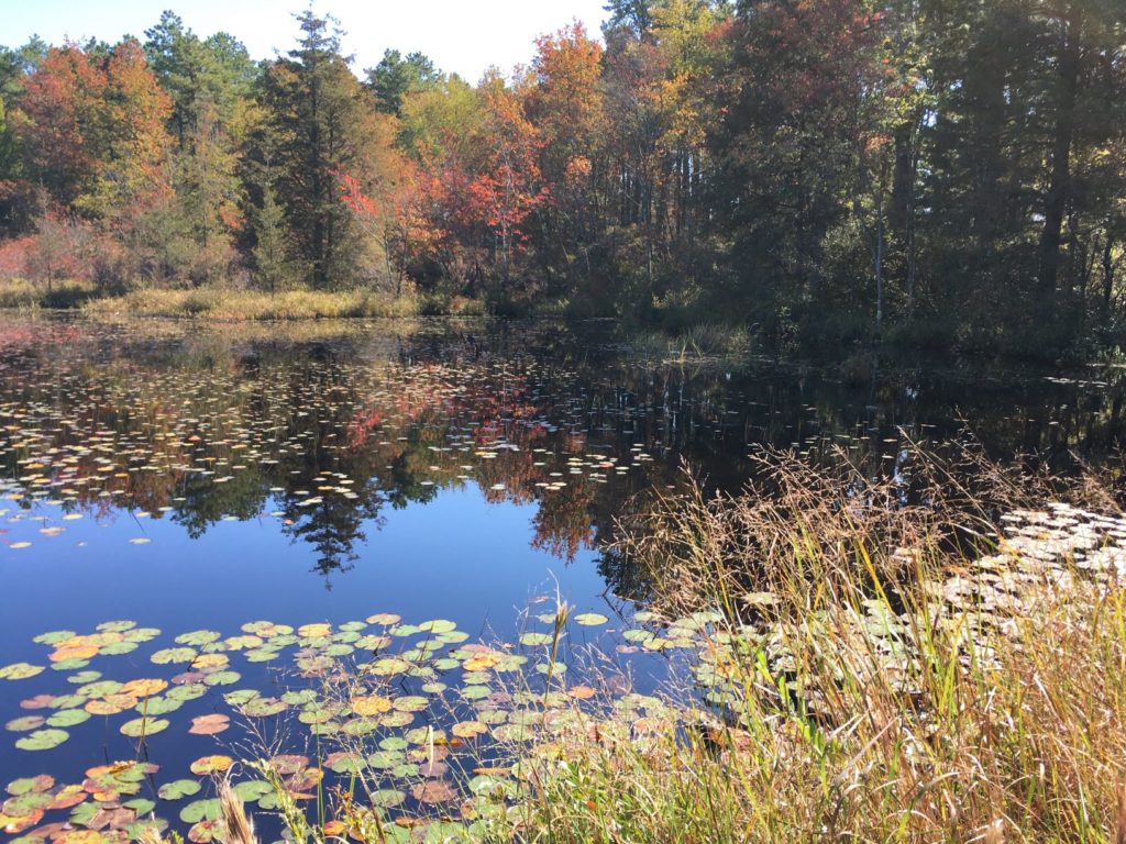
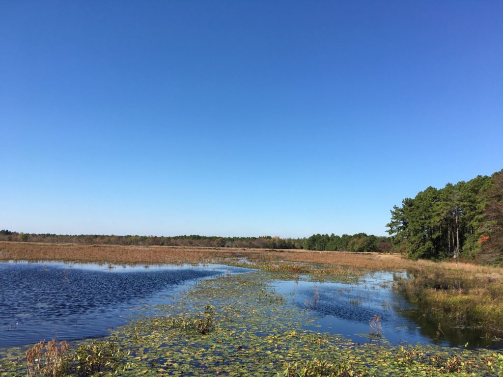
It’s the Pine Barrens, so there has to be an abandoned cranberry bog along the way. Source: TCM

E-Biking the Pole Farm

About 10 miles wandering around Mercer Meadows (a.ka. the Pole Farm) and Rosedale Park.

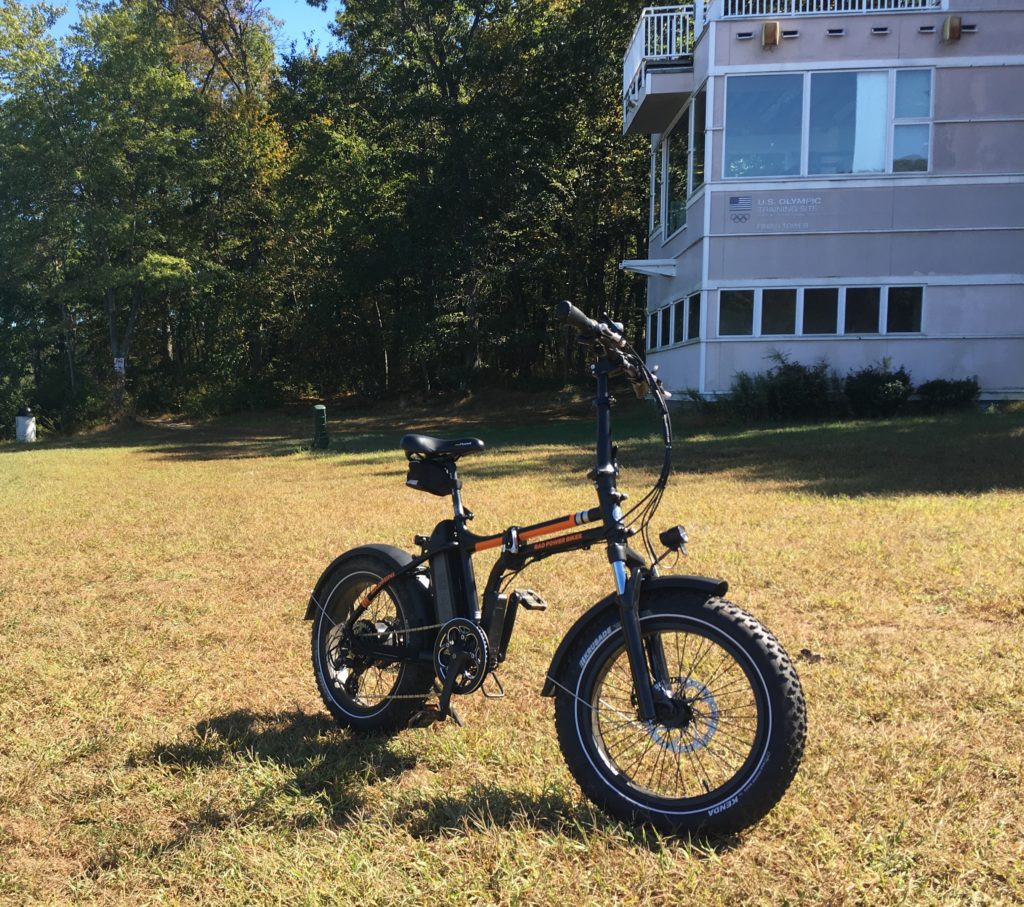
RadMini e-bike in front of Last Pole Standing
The RadMini in front of the Last Pole Standing at Mercer Meadows. Source: TCM
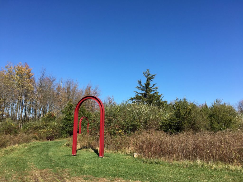
Metal Arches in a Park
AT&T Building One was where radio technicians connected telephone calls from the U.S. to the rest of the world. The arches show where the entrances to the building used to be. Source: TCM

The Eternal Struggle: History vs. Ghost Stories

Was N.J.’s Spy House one of the most haunted spots in the country? That’s up for debate

The Seabrook-Wilson House, a.k.a the Spy House, was built in the early 1700s. Over the years, archaeology and historical research has uncovered much of the true history of the house. Now part of Bayshore Waterfront Park in Port Monmouth, New Jersey, the historic house museum has a slate of free history and science programs scheduled, including their new History on Tap series, beginning with Famous and Forgotten Shipwrecks of New Jersey, an Archaeological Perspective on November 14.

The Seabrook-Wilson House. Source: ScottCAbel [CC BY-SA 4.0 (https://creativecommons.org/licenses/by-sa/4.0)]

More Bogs, More Barrens

At the Cranberry Bogs along Mt. Misery trail. Source: TCM

Fall colors are appearing in the Pine Barrens. I rode about 10 miles on parts of the Mt. Misery trail and Glass House Road in Brendan Byrne State Forest, which provide a mix of paved roads, wide graded sand roads, and single track closely hemmed by bushes and trees. I must have been the first visitor that morning, because I was constantly riding through webs spanning the trail and when I stopped for a bit, there were at least three spiders still hanging on to the front of my bike.

The RadMini alongside the bogs. Source: TCM
Sand road along cranberry bog
Riding through the cranberry bogs in Brendan Byrne State Forest. Source: TCM
cranberry bog
Another view of the bogs. Source: TCM

Near the end of the ride, the Reeves cranberry bogs provided a peerless photographic opportunity. The bogs were created by William H. Reeves at the beginning of the twentieth century and remained in operation for at least half a century.

The roads around the bogs had some soft sand. The RadMini did not seem to have a problem with it, but I did almost wipe out plowing through a turn a little too fast.

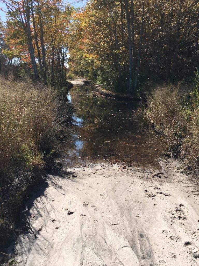
Sand road blocked by water
Time to turn around. Source: TCM

E-Biking Along the Rancocas

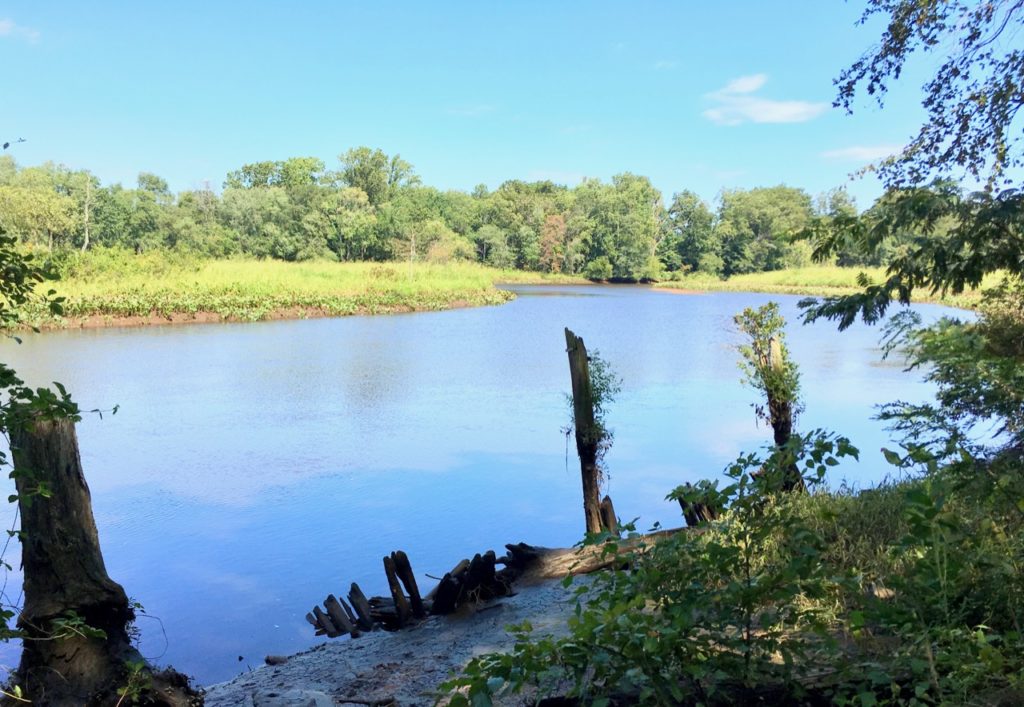
Rancocas Creek. Source: TCM

Rancocas State Park is in Burlington County, New Jersey, where the North and South branches of Rancocas Creek meet to form the Forks of the Rancocas. A Lenape village was formerly located here and in the 18th century, agriculturalist Charles Read owned the land. More houses were built in the 19th century, but in the first decade of the 20th century, much of the land was mined for sand, permanently altering the landscape and likely destroying any archaeological remains. Some ruins survived to the present, and trees and other vegetation now cover the scars from mining.

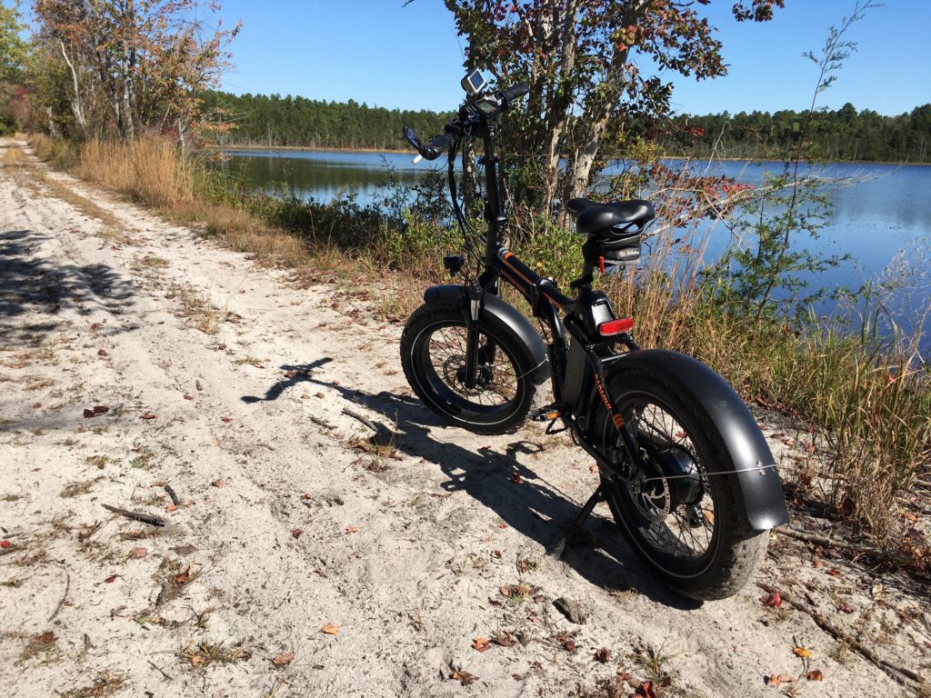
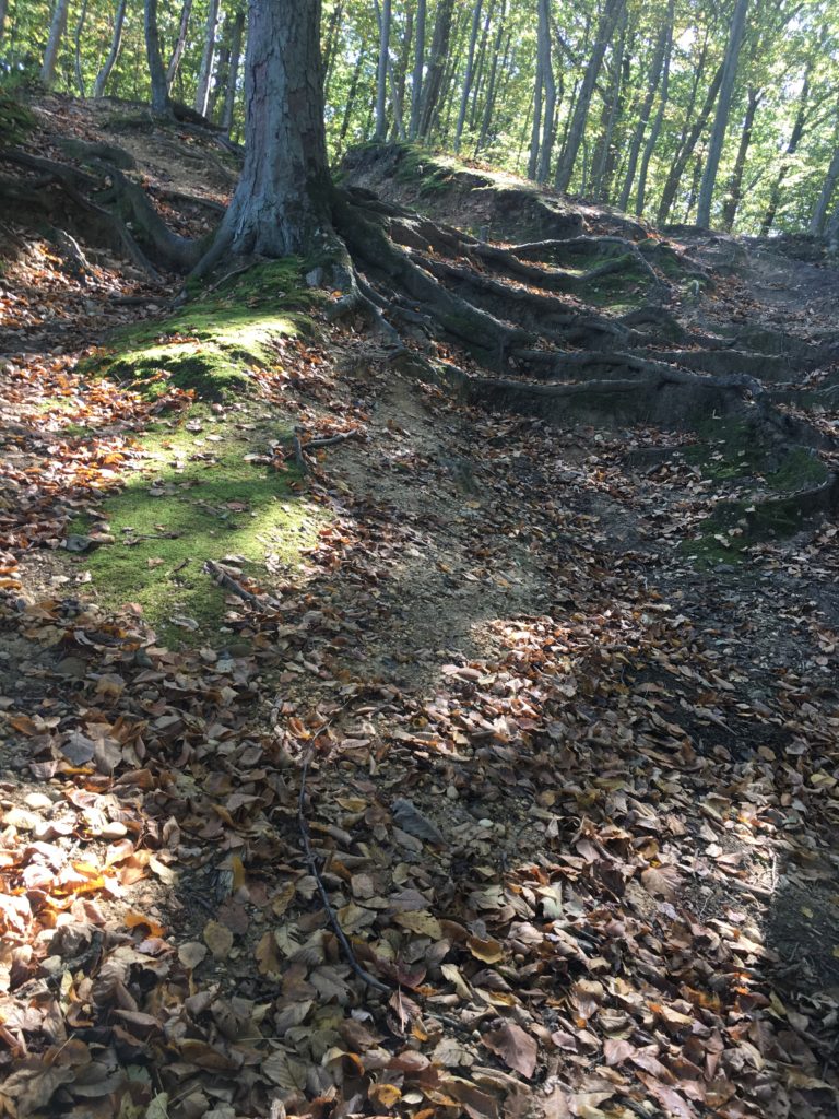
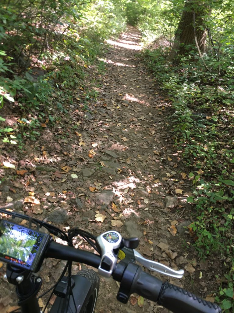
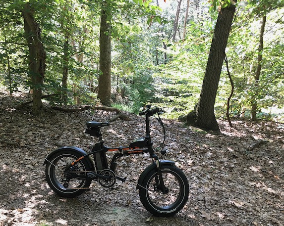
My Radmini e-bike had no trouble with the trails, which includes loose sand, packed sand, lots of roots, a little bit of mud, and the occasional log.

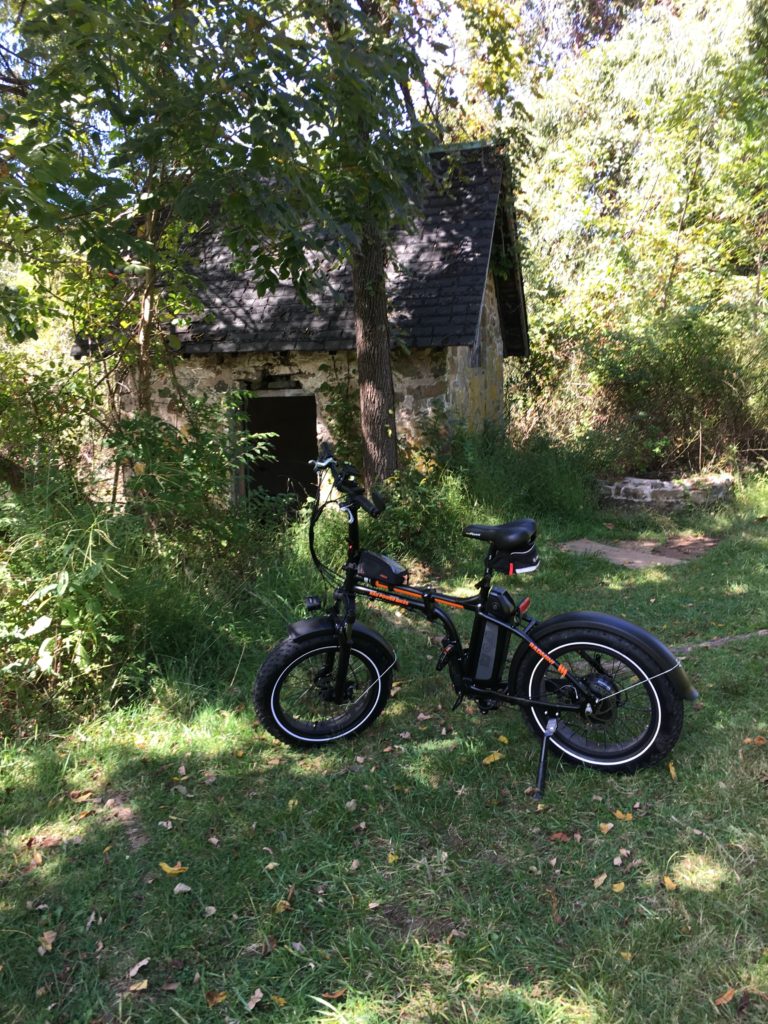
Radpower RadMini. Source: TCM
Rancocas State Park. Source: TCM

E-Biking Whitesbog

Whitesbog is where, in 1916, Elizabeth White and Frederick Coville produced the first commercial crop of blueberries. Before that, Whitesbog was a cranberry farm, and before that, it was part of the Pine Barren’s bog iron industry. It’s now part of New Jersey’s Brendan Byrne State Forest and sand roads surround its cranberry bogs.

Source: TCM
Source: TCM
Source: TCM

Roebling’s Shaky Bridge

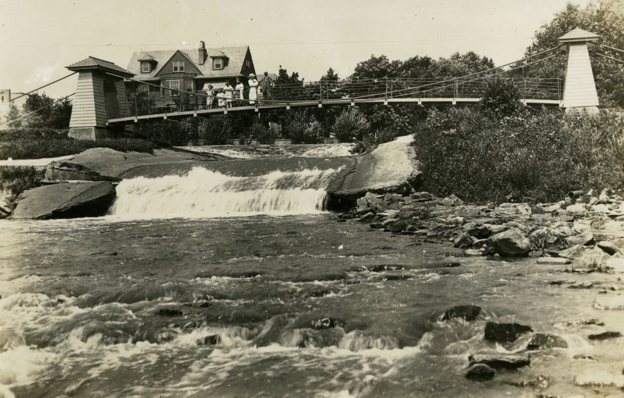
View of the Shaky Bridge from the Delaware River. Undated. Source: Photograph, collection of David Denenberg. bridgemaster.com
Shaky Bridge in 2019, Trenton, NJ. Source: TCM
Source: TCM

This little suspension bridge, which spans the attractively named Waste Weir, was built by the Roebling Company. Some internet sources say it is a miniature replica of one of Roebling’s more famous projects, either the Brooklyn Bridge or the Niagara Bridge. Although it uses the same suspension technology, the design is not identical. Other sources say it was built to demonstrate suspension technology, and then given to the city of Trenton. I haven’t seen a firm date for when it was built.

The Shaky Bridge sits between the Delaware River and Route 29 in Stacy Park. Route 29 runs over the alignment of the Trenton Water Power, a seven mile long canal completed in 1834  – the same year as the 65 mile long D&R Canal.

Cadwalader Park Natural Area

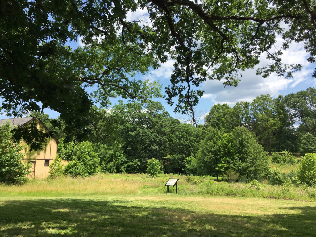
Cadwalader Park Natural Area, Trenton, NJ. Source: TCM

Cadwalader Park was created by the city of Trenton in 1888 from land previously owned by Dr.Thomas Cadwalader. In 1890, Frederick Law Olmstead (best known for designing New York City’s Central Park) was hired to create a design for Trenton’s new park.

Prior to Olmstead’s involvement, the city had already started displaying animals in a “zoological garden.” After Trenton dropped Olmstead’s firm for financial reasons, the city added a deer paddock–which Olmstead opposed–on the west side of the park. Olmstead had other plans for that area, called the Western Ravine:

In the broader wooded valley at the west end of the park, Olmsted planned a series of pools that was reminiscent of the Pool and Loch of upper Central Park…The Preliminary Plan of 1891 shows most of the Ravine taken up by five naturalistic pools…with a connecting stream. The three lower pools are shown surrounded with dense vegetation, while the borders of the two upper pools are somewhat more open and more visible from the adjoining meadow areas. These upper pools have four beach areas where the nearby path expands to form a shallow wading area.

Cadwalader Park Master Plan, 1998

Much of Olmstead’s plan was not constructed, and many modifications to the design were made the city. A deer paddock was built in 1895, and a sheep house and elk house were also added. By 1906, the park zoo included not only nine fallow deer, but over a dozen other types of animals, including coyotes, alligators, bears, monkeys, and a kangaroo. Two animal barns were added in the western ravine, which are still standing.

Animal barn at Cadwalader Park. Source: TCM
Homes in the Hiltonia neighborhood overlooking the Cadwalader Park Natural Area. Source: TCM

The park declined in the 1970s (although the city’s museum, Ellarslie, was created in 1978 in the former monkey house). Deer were kept in the paddock until about ten years ago. As part of a master plan to restore Cadwalader Park, The D&R Greenway Land Trust, the City of Trenton, and several other partners united to restore the paddock area to a more natural meadow and wetland environment. Where once captive deer lived behind a fence, white-tailed deer now run wild.

White-tailed deer at Cadwalader Park. Source: TCM