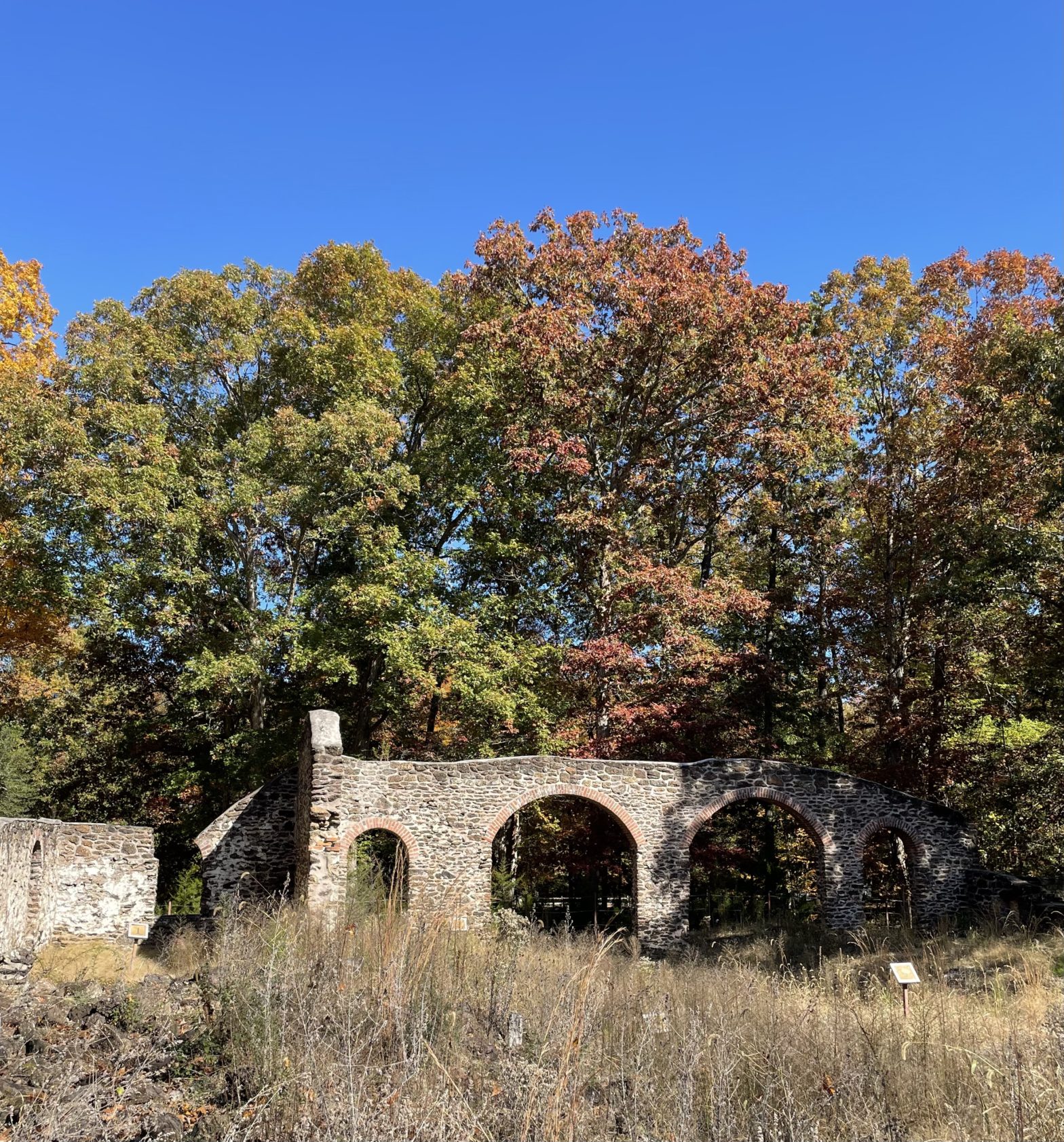
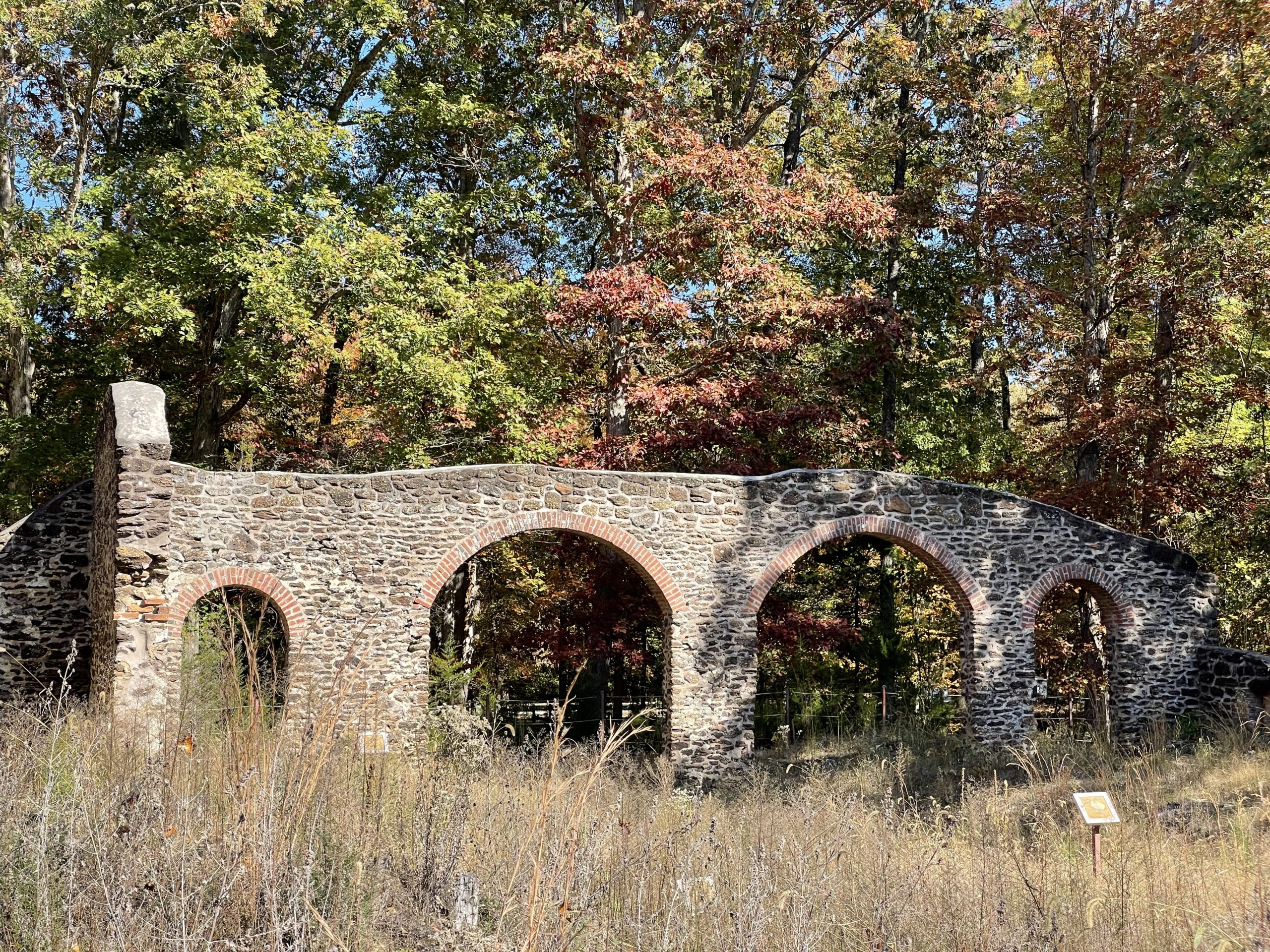
Not far from Atlantic City, New Jersey, are the remains of the nineteenth-century Estellville Glassworks, which was in operation from about 1826 to 1877. These buildings are unusual among New Jersey glassworks in using local sandstone with brick arches. Visited on a balmy Autumn day.
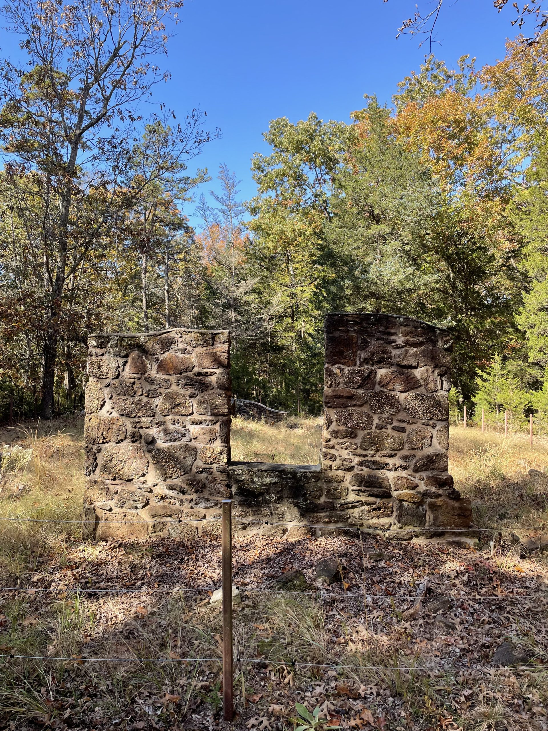
Ruins of the Pot House.Ruins of the Pot House, where the clay crucibles, or pots, were made.Ruins of the Melting Furnace.
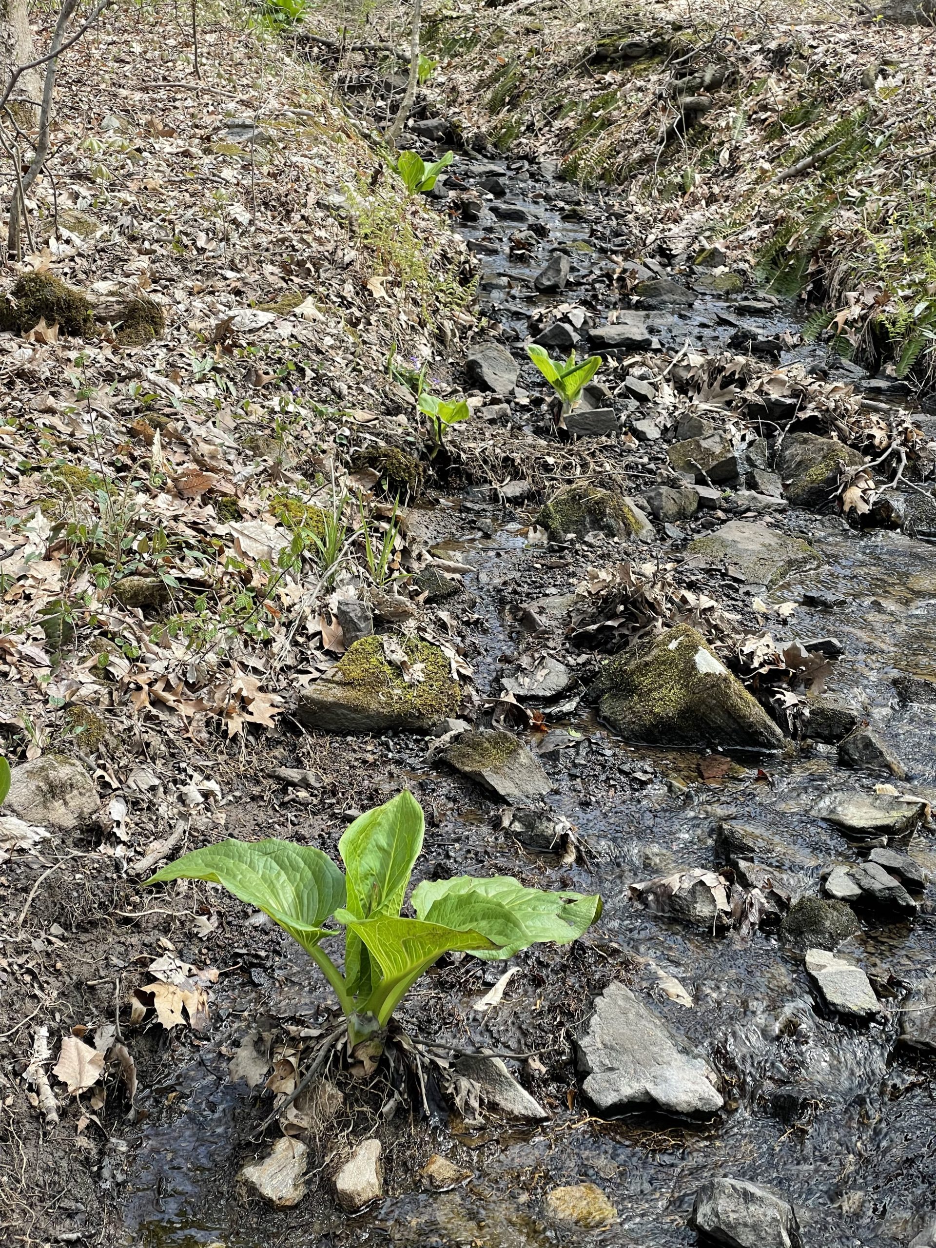
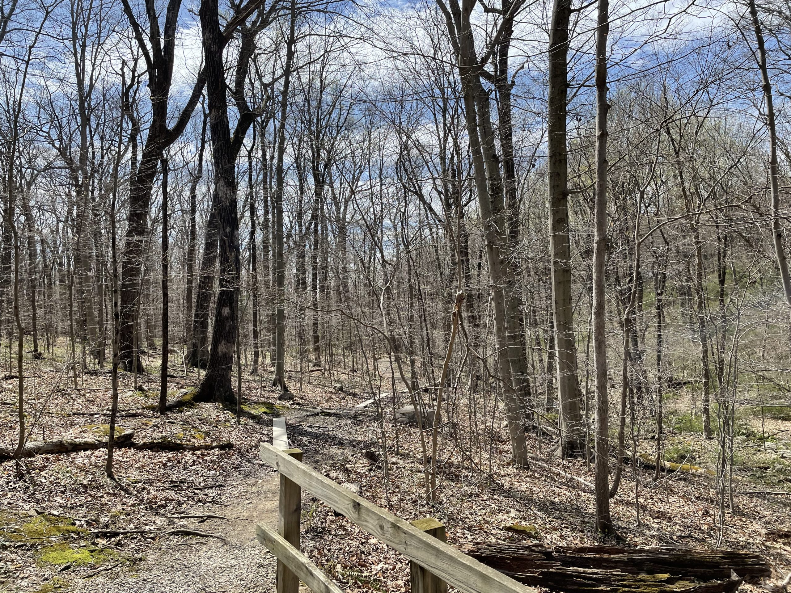
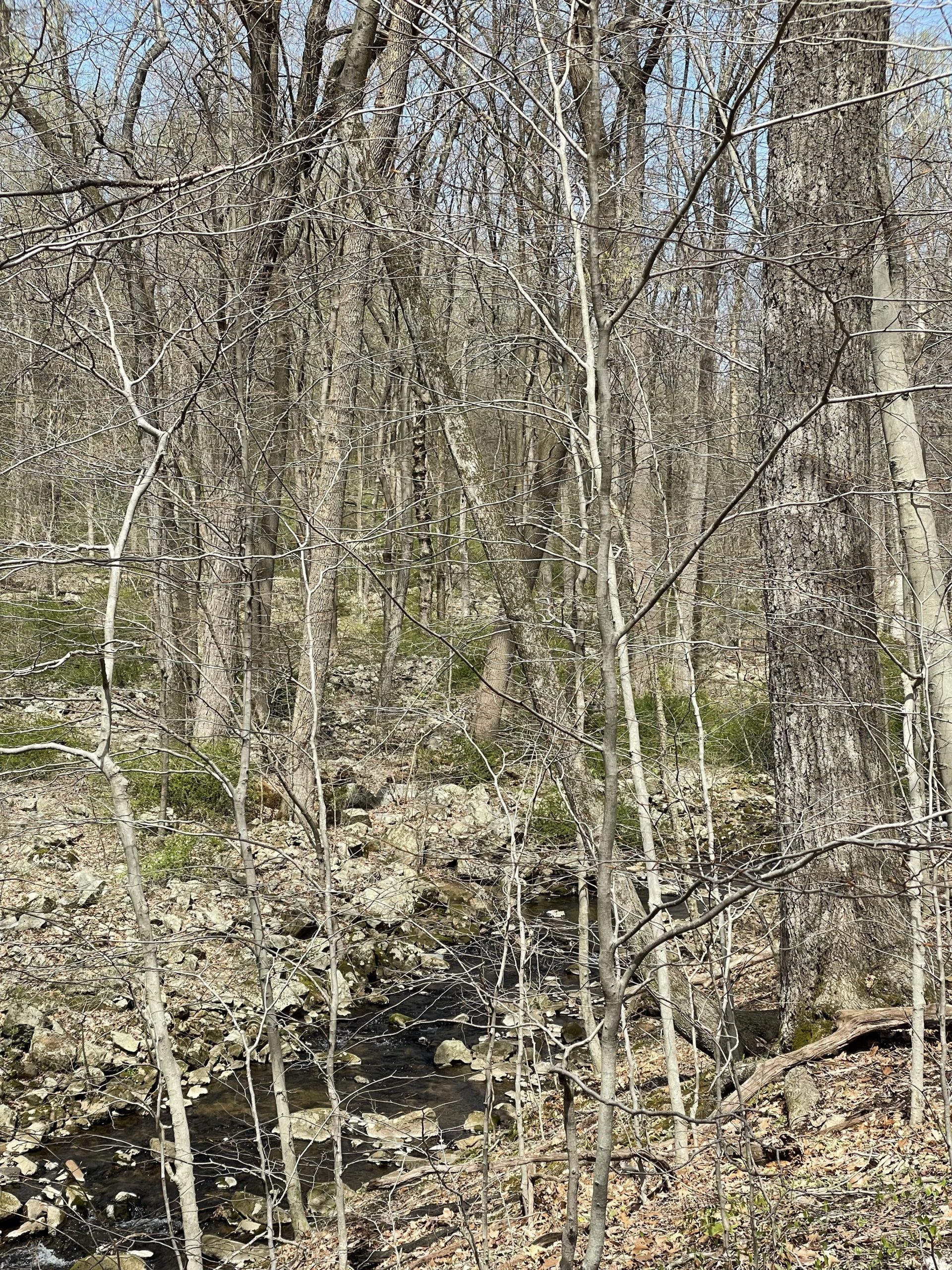
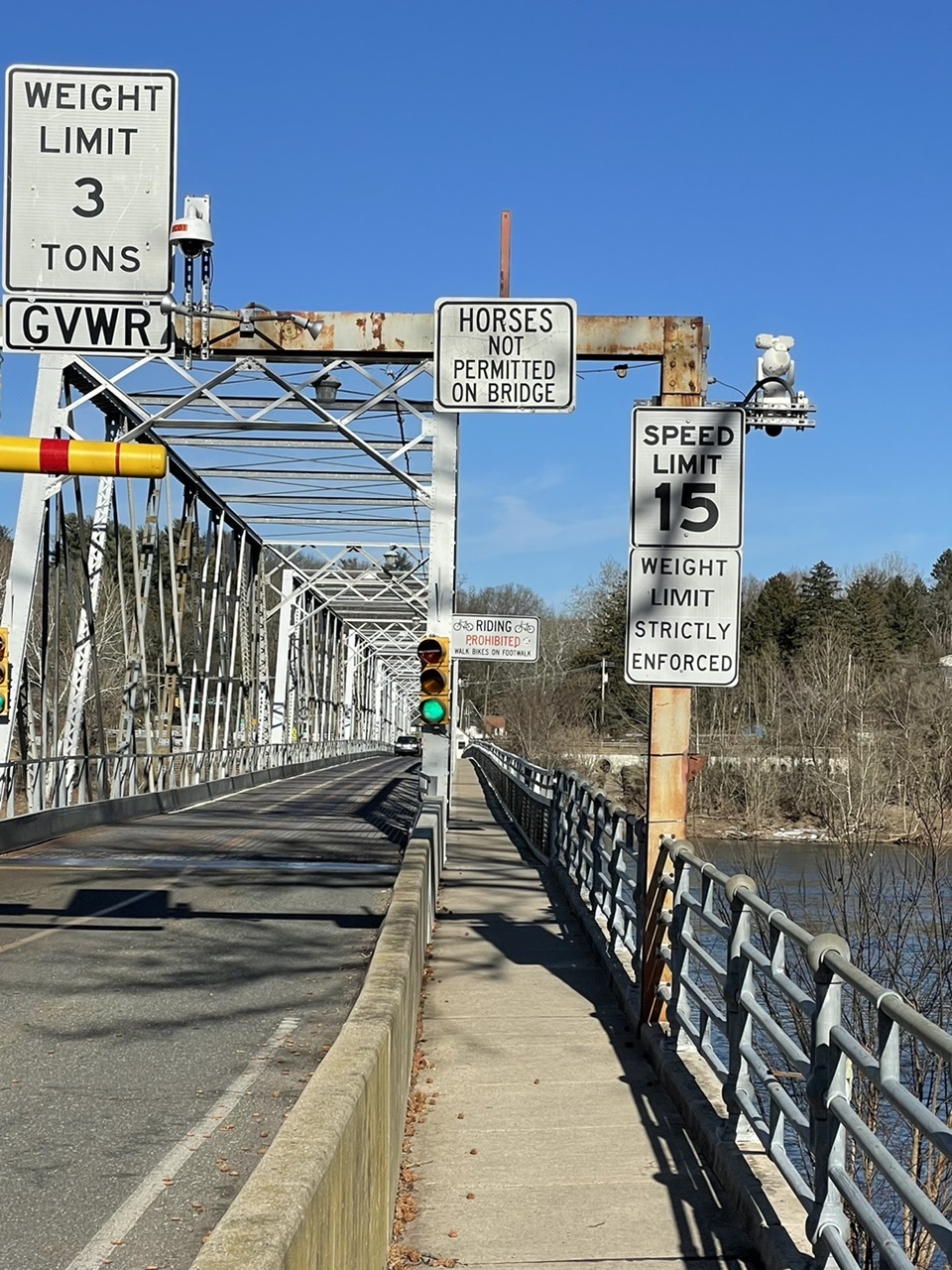
The Columbia Trail runs along the former alignment of the High Bridge Branch of the Central Railroad of New Jersey. The South Branch Raritan River, a popular trout fishing spot, flows alongside it; the trail crosses the river at the bridge in the featured image above. The river valley here is known as Ken Lockwood Gorge and is a New Jersey Wildlife management Area.
This artifact, likely a brooch, depicts a 1920s-era flapper, cloche hat and all. It was found at an archaeological site in Jersey City, New Jersey. This and the many other artifacts found during excavation of a series of former houses, most demolished by the 1930s, provide a glimpse of the middle class families who lived in Jersey City in the early twentieth century.
Reference:
Howson, Jean, and Leonard G. Bianchi
2014 Covert-Larch: Archaeology of a Jersey City Neighborhood: Data Recovery for the Route 1&9T (25) St. Paul’s Viaduct Replacement Project Jersey City, Hudson County, NJ, Volume 1. Cultural Resource Unit, The RBA Group, Inc.
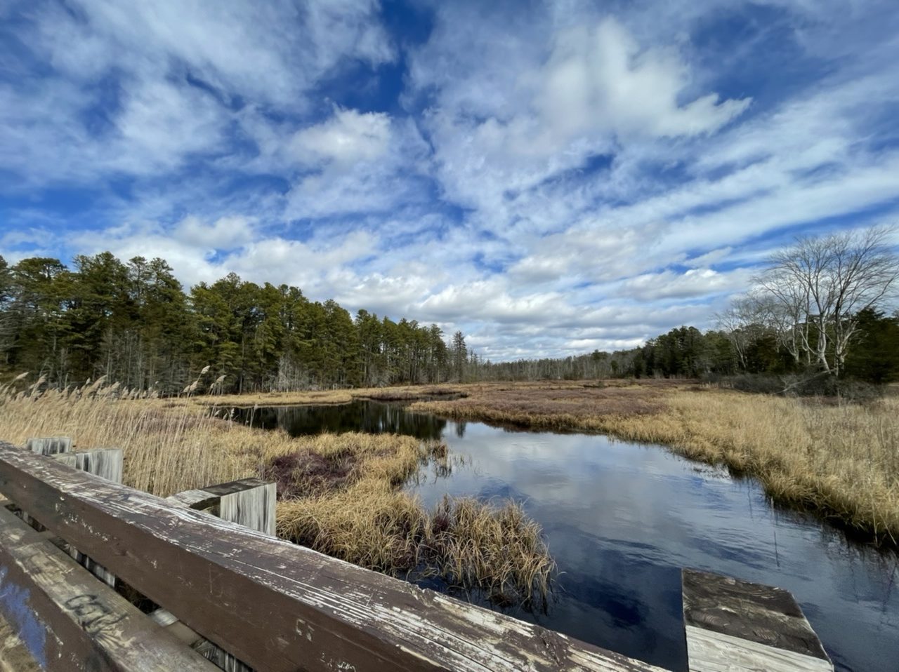
First time visiting the Forsythe National Wildlife Refuge in New Jersey. While the refuge extends over 50 miles along the Jersey Shore, the eight-mile Wildlife Drive loops around just a small portion of it.
Voorhees is in the northernmost part of Hunterdon County and is one of the smaller state parks. It was a Civilian Conservation Corps (CCC) camp in the 1930s.
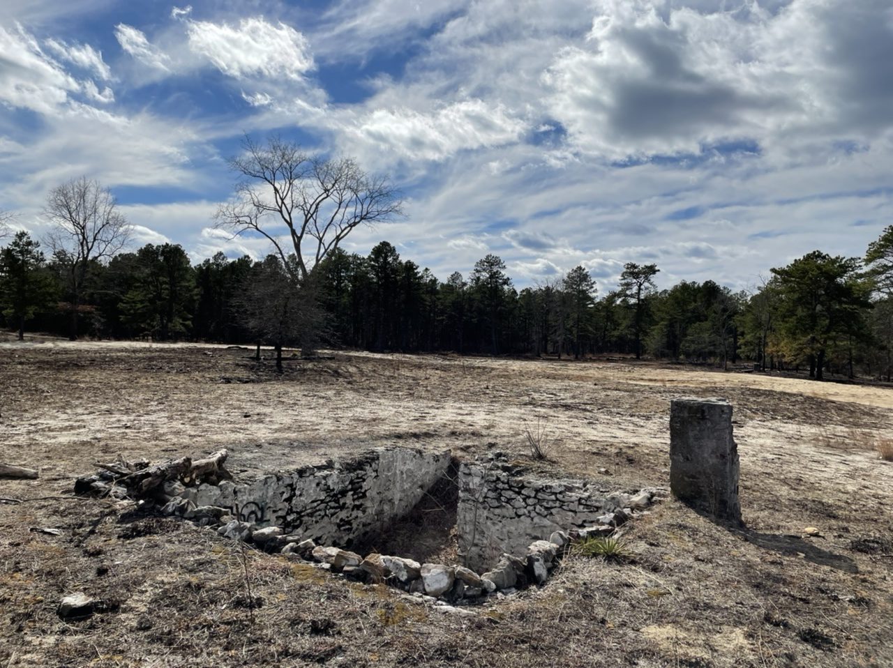
Speaking of ghost towns, Friendship is one of many abandoned towns in the New Jersey Pine Barrens. It was founded around the 1860s as a cranberry farming town. Cranberry packing finally ended around 1960 or so, and at least some people were still living here into the 1970s. The cranberry bogs are still here.
Coincidentally I visited here about a week after controlled burning by the New Jersey Forest Fire Service, so it was much easier to see many of the old building foundations.
House cellar exposed by the burning.Jeep Cherokee was there.Radmini was there, too.Old cranberry bog on Shane Branch at Friendship.Foundation of the former cranberry packing house?More foundations.
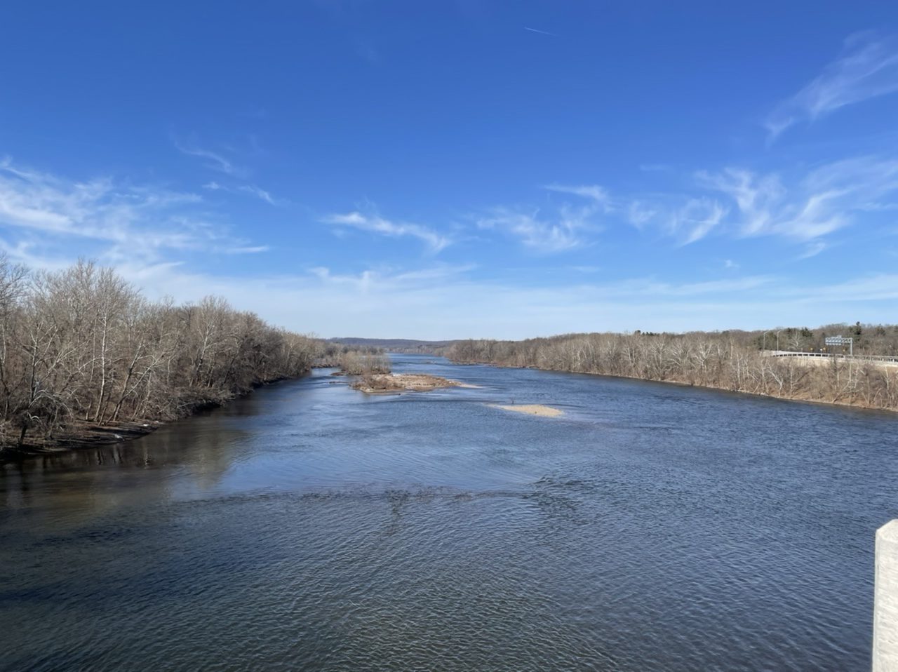
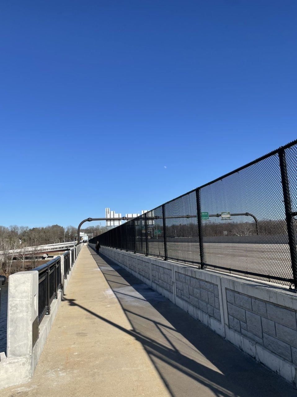
On the first warmish day in a while, I took the Radmini to check out a new river crossing. Beginning on the Delaware and Raritan Canal at Scudder Falls in New Jersey, I rode up the brand new ramp to the 10 feet wide multi-use path on the new Scudder Falls Bridge, which carries I-295 over the Delaware River to Pennsyvlania. The first span of this bridge opened in July 2019. The old bridge (which had opened in 1961) was then demolished and construction began on the second span, which was completed a year later. The shared pedestrian/bicyclist path then opened this past November.
6.72 miles
The overpass was busy with with other bikers, walkers, and a few dogs. Coming off the bridge into Pennsylvania, I turned north up the Delaware Canal towpath to Washington’s Crossing. I crossed back into New Jersey on the old and narrow Washington’s Crossing bridge. The piers that support this bridge date back to 1831, while the superstructure was built in 1904. Each car lane is only 7.5 feet wide (so, 2.5 feet narrower than the bike/walk path on the new bridge). After that, it was a quick ride up the D&R canal to my starting point.
Wide enough to ride your bikeRadmini on the bridgeThe Delaware Canal in PennsylvaniaWalk your bikeA narrow bridgeLooking downstream. Is that a new bridge in the distance?
Bleachers brings the Jersey Shore sound (including not one, but two saxophones) to SNL. Jack Antonoff also brings his Dad to back him up on guitar while he sings about his parents.
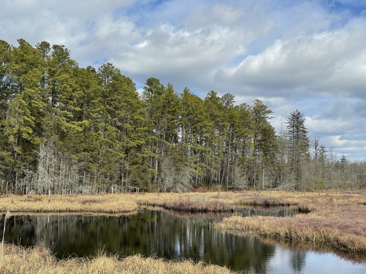
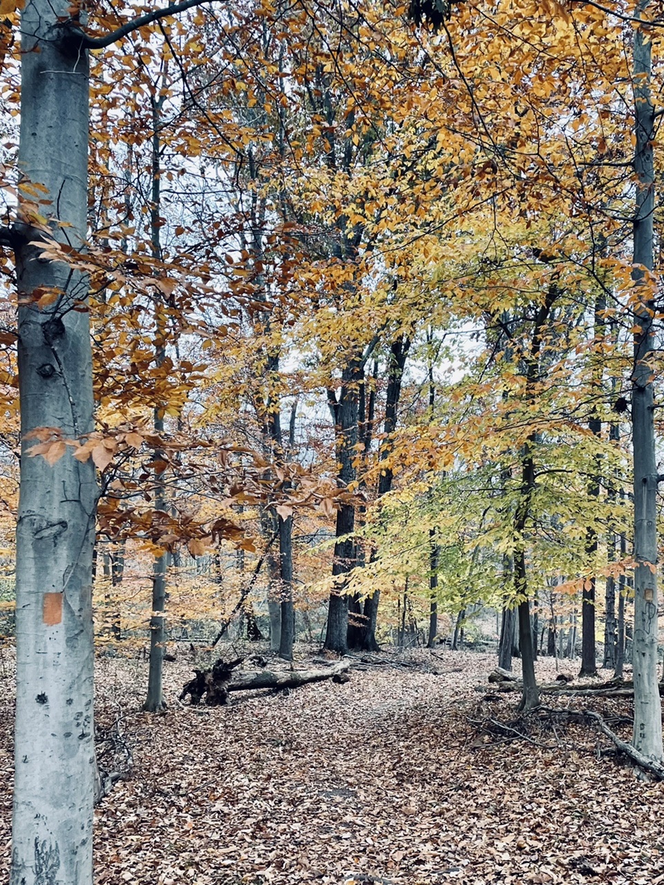
From a walk back in November. Baldwin Lake is a New Jersey State Wildlife Management Area created by damming Baldwin Brook, a tributary of the Stony Brook. Part of the Pennington Loop trail parallels the Stony Brook.
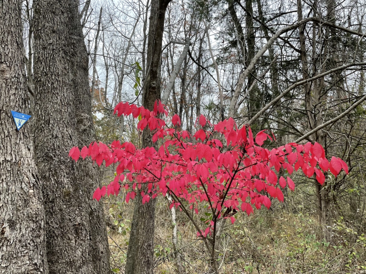
Featured image: Euonymus alatus (Burning Bush), an introduced/invasive species.