The Columbia Trail runs along the former alignment of the High Bridge Branch of the Central Railroad of New Jersey. The South Branch Raritan River, a popular trout fishing spot, flows alongside it; the trail crosses the river at the bridge in the featured image above. The river valley here is known as Ken Lockwood Gorge and is a New Jersey Wildlife management Area.
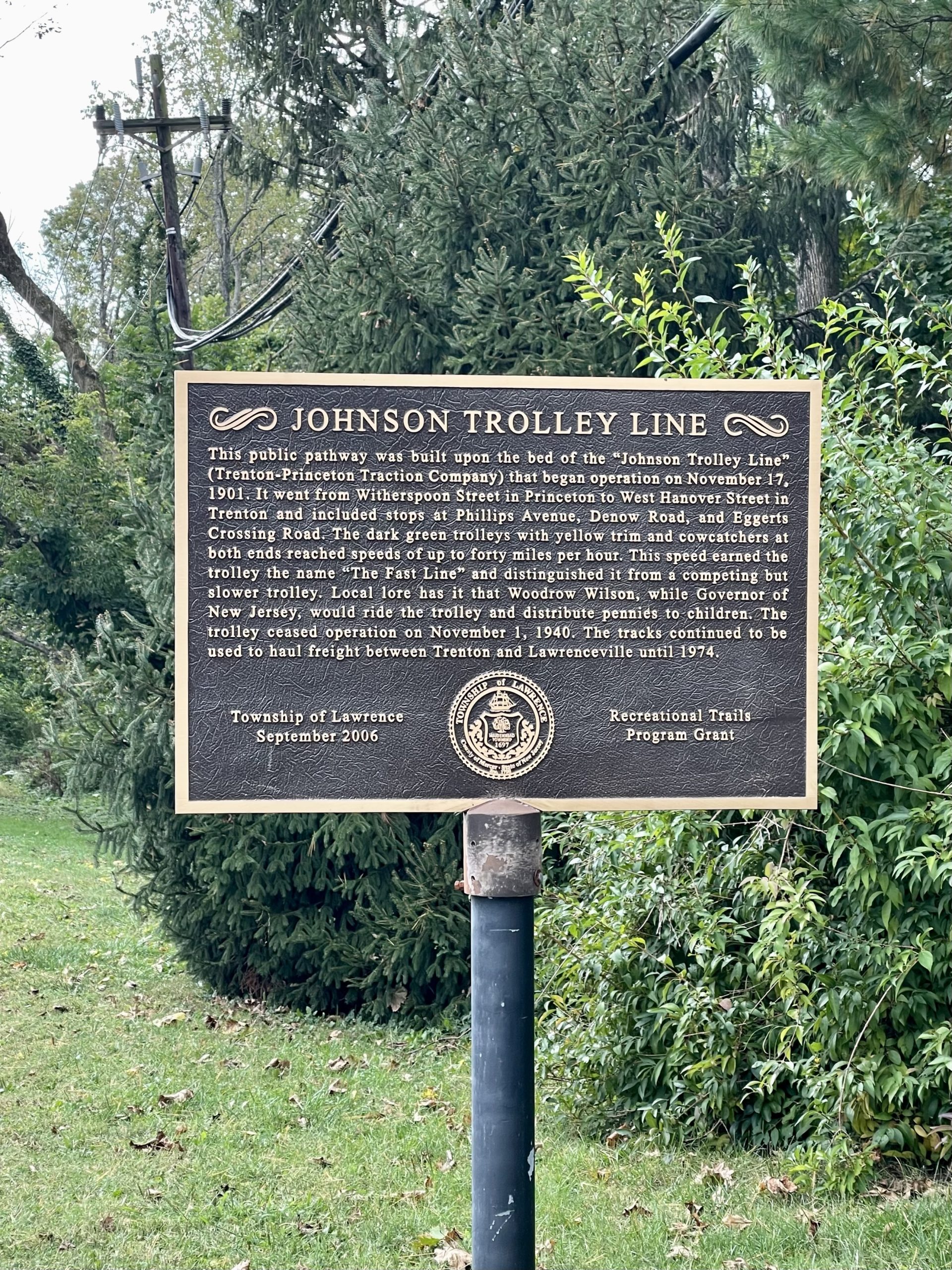
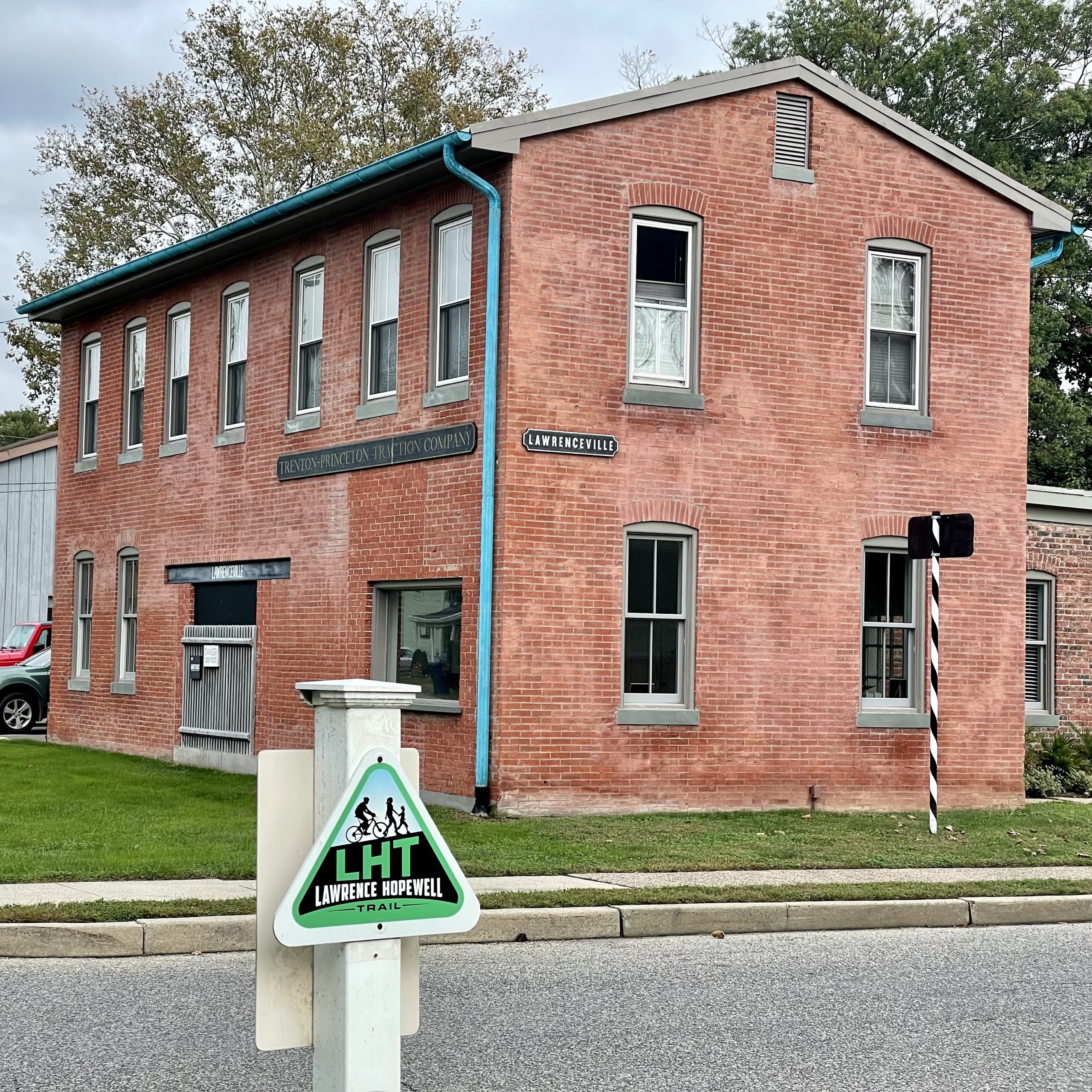
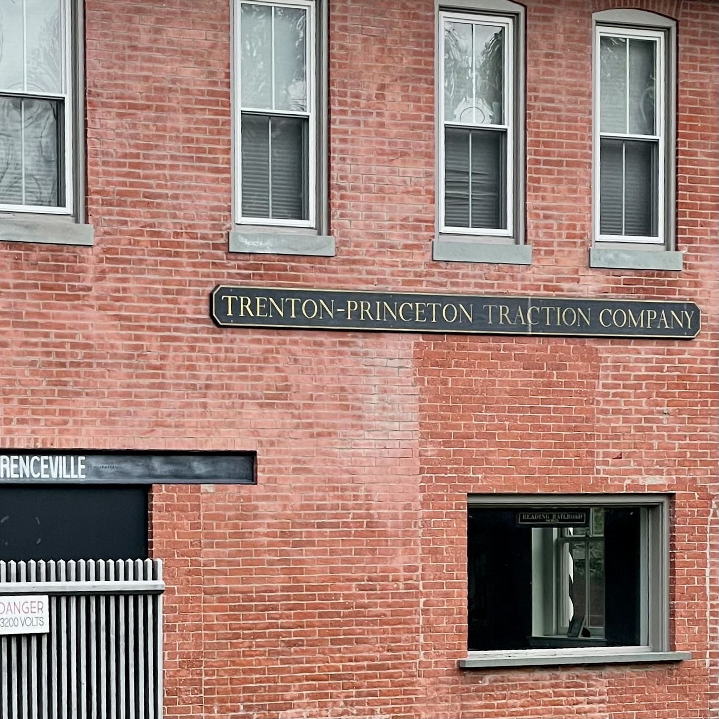
From 1901 to 1940, the Johnson “Fast Line” electric trolley (a.k.a. the Trenton-Princeton Traction Company) carried passengers from Trenton to Princeton.
So far, only about three miles of the former 15-mile-long route has been turned into a bike and walk path. The trail is currently split into two sections, bisected by Interstate 295, with no good way to get over it on foot or bike. Perhaps in the future the two segments will be connected.
The southernmost section is riddled with large holes and uneven surfaces, with wetlands and woods on either side. Even though warehouses and parking lots are nearby, it feels more wild. Traveling north, the trail becomes more civilized before petering out near the athletic fields of Rider University and the highway.
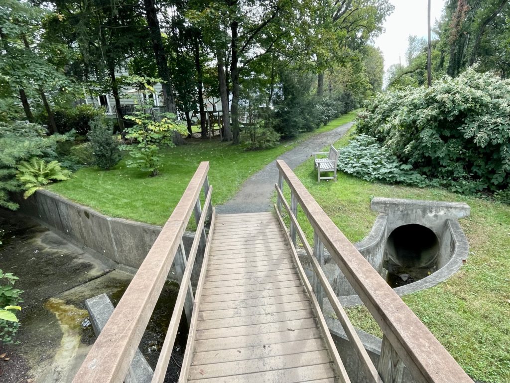
Over the Shabakunk
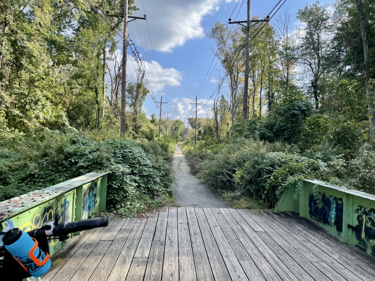
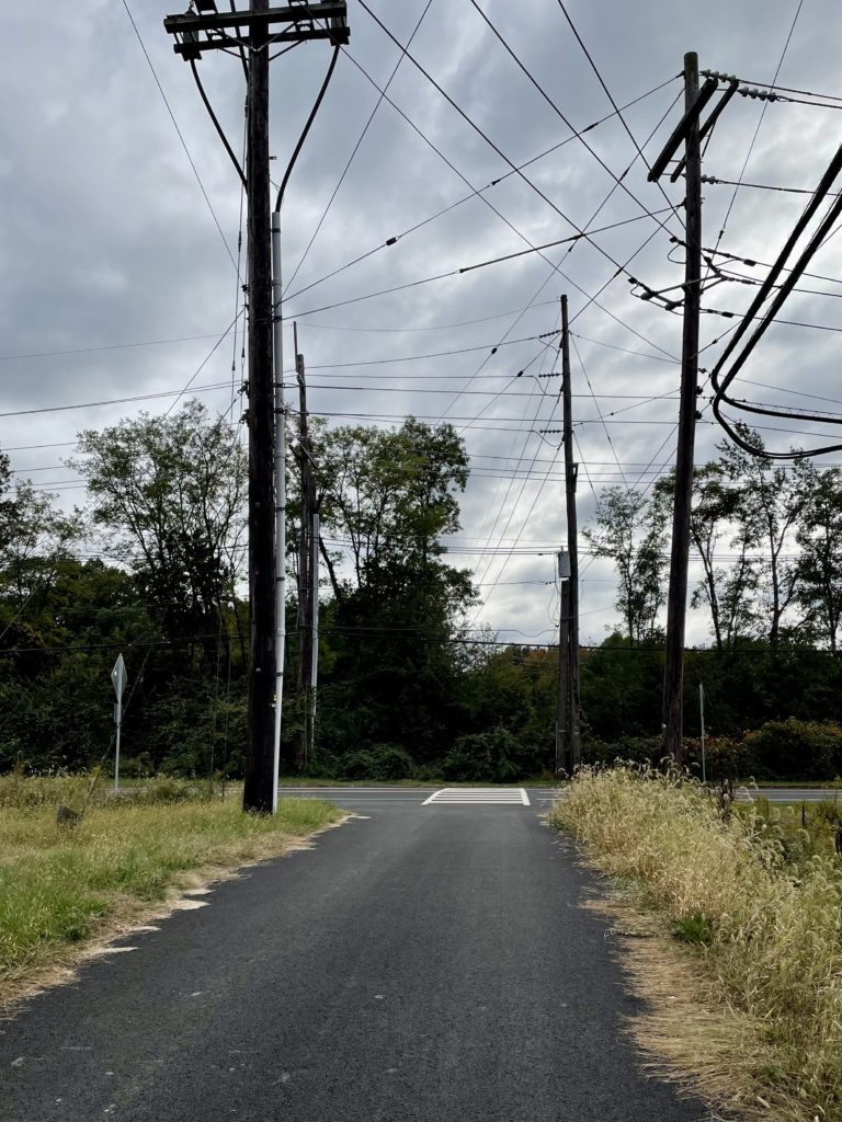
Trolley Line South
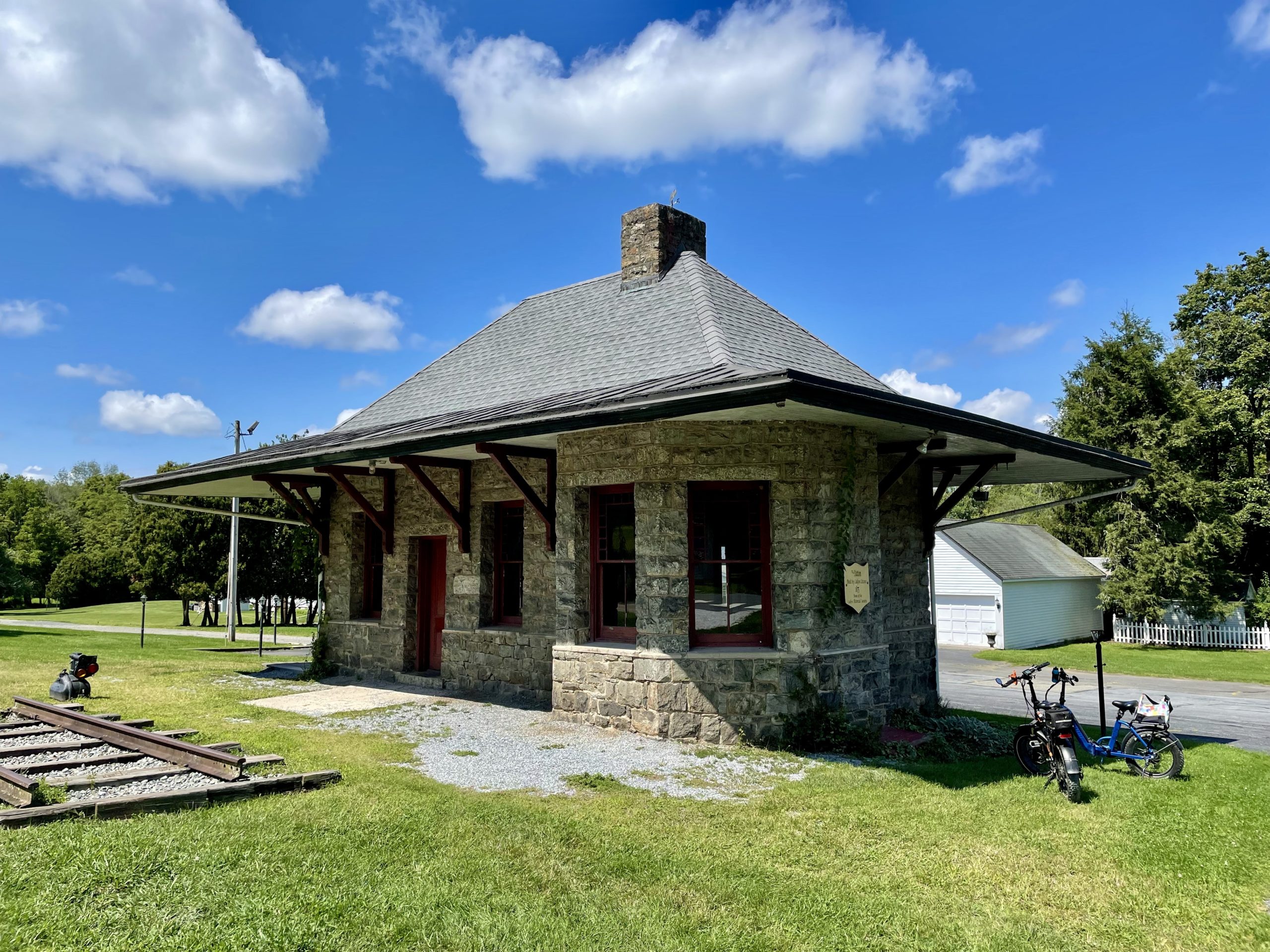
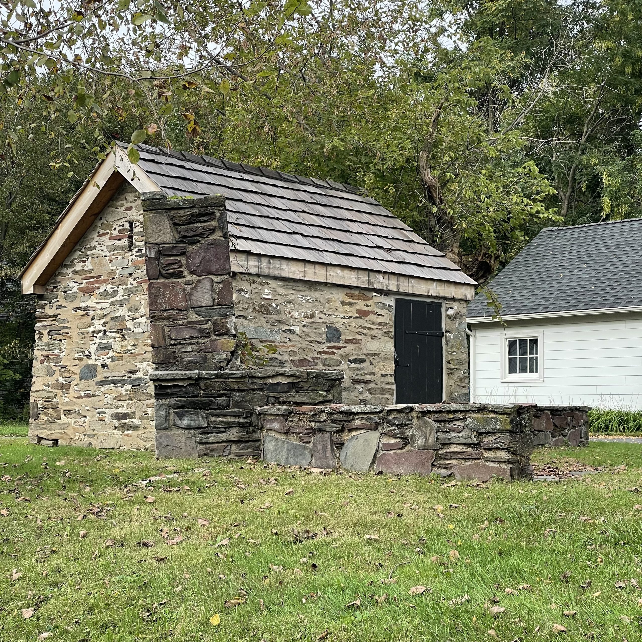
North of the interstate, the trail runs through suburbs before entering Lawrenceville. Here, it crosses, but is not part of, the Lawrence-Hopewell trail. At the end of the Johnson trail is the former office of the Johnson Ferry, which has been restored (with reproduction signage).
Summer’s in full swing, and I’ve been revisiting some parks I last rode in colder weather, including Crystal Lake Park and Cadwalader Park, as well as visiting Tyler State Park in Pennsylvania early on the 4th of July. Too busy riding to take many pictures.
Crystal Lake ParkTyler State Park. Source: TCMCadwalader Park. Source: TCM
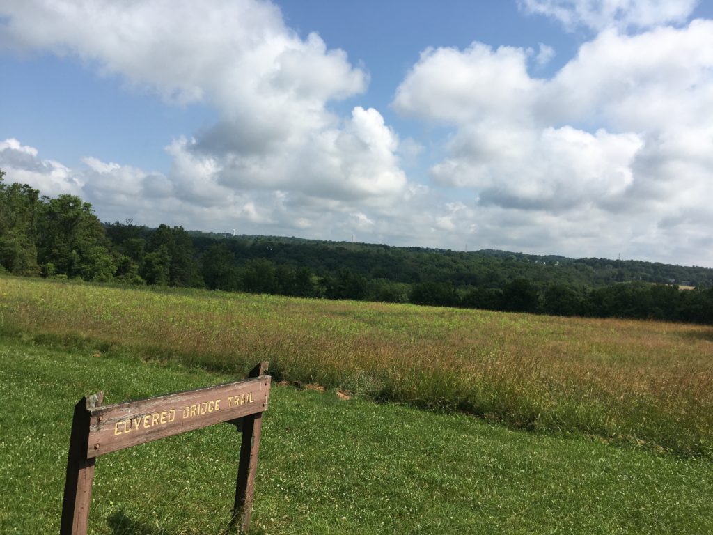
Spring Lake is part of Roebling Park, which is in the Abbott Marshlands of New Jersey. The park has had many names over the years. In the early twentieth century, this was the White City Amusement Park. It was renamed Boiling Springs Park a few years before it closed in 1922.
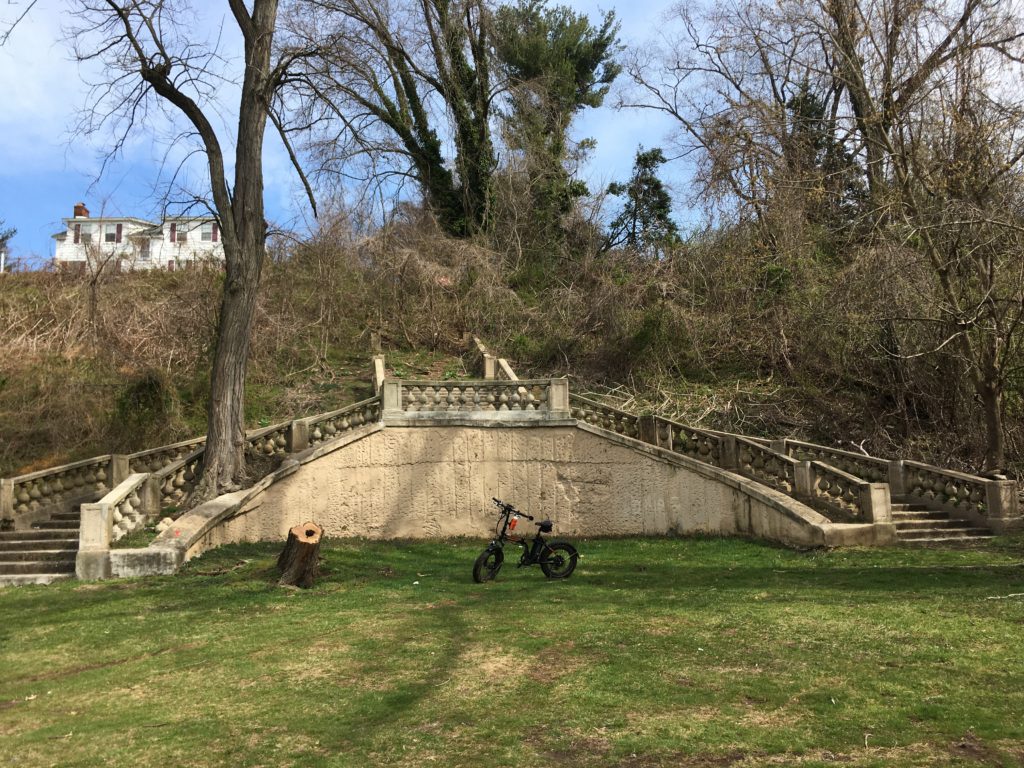
The Casino restaurant, a c. 1820 mansion that is now privately owned, provided patrons a view of the landscape below. A grand staircase allowed them to walk down to the lake, where there were more rides. The staircase is one of the few visible remnants of its past.
Most of the trails are for walking only, but the Spring Lake loop is bikeable. This park is currently closed due to the COVID-19 pandemic.
The staircase at Spring Lake. Overlook Mansion, formerly the Casino Restaurant, is visible at the top of the bluff. Source: TCMSpring Lake in 1907 postcard. A staircase is visible in the center of the photo, but may be a precursor to the existing one.
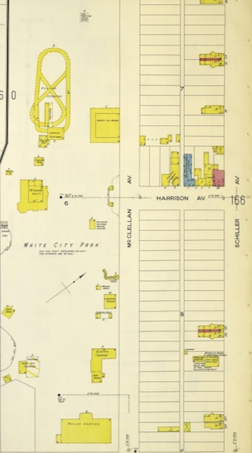
White City Park in 1908. The top of the staircase is depicted on the left edge of the map. Source: Insurance Maps of Trenton, New Jersey. Sanborn Map Co., 1908.
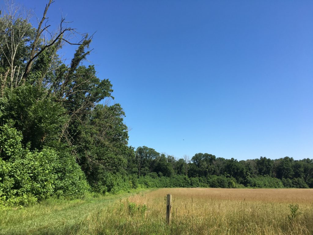
Serendipitous is not the right word to use when you find yourself riding your bike alone in the woods around Crystal Lake on Friday the 13th. Fortunately, this was not Camp Crystal Lake, the stomping grounds of infamous axe-murderer Jason Voorhees. That’s up in north Jersey.
This Crystal Lake Park is near Bordentown in central Jersey. The park is mostly farm fields, with some steep wooded areas along the bluff overlooking Crystal Lake. To get to the park, you do have to drive down Axe Factory Road. I saw no actual axe factory, nor, I’m happy to say, any axe-wielders.
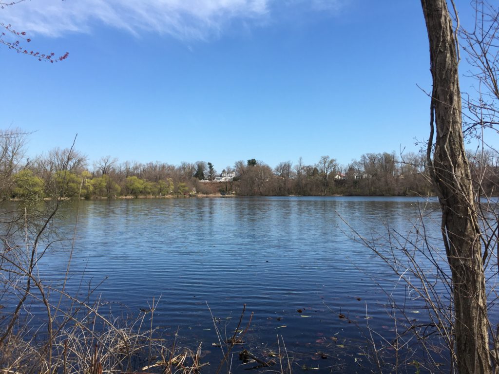
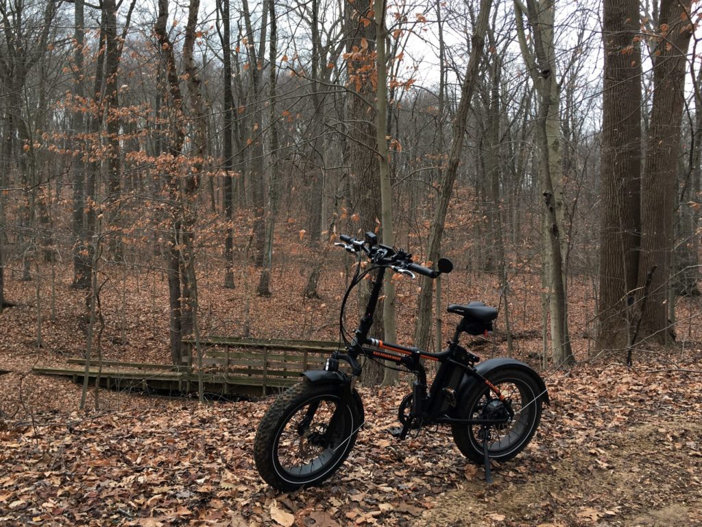
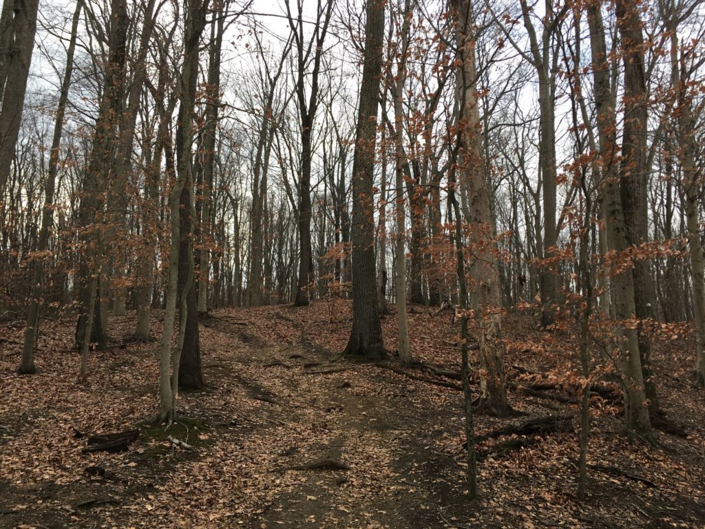
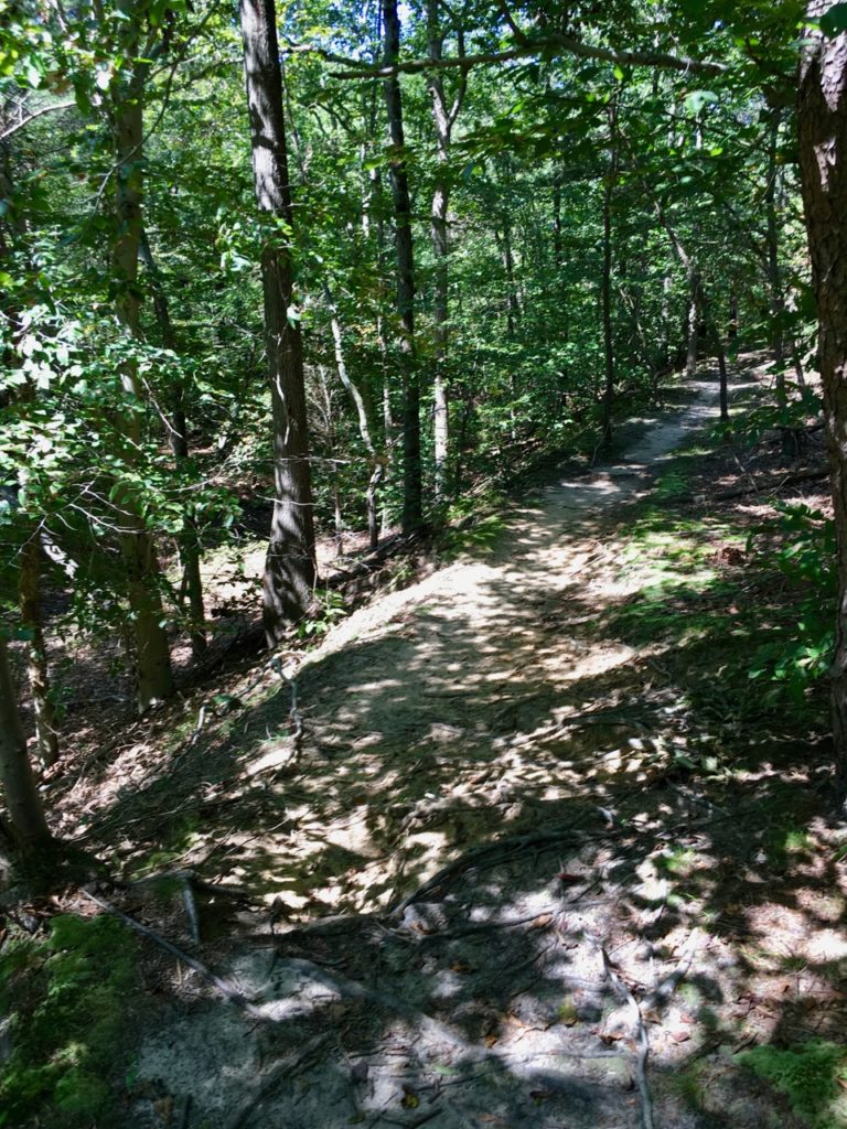
Sunny ride over the leaf-covered trails at Clayton Park near Imlaystown in Monmouth County, New Jersey. I rode for over six miles, covering almost all the trails in the park. Sighted one horse, one bike, and three dogs.
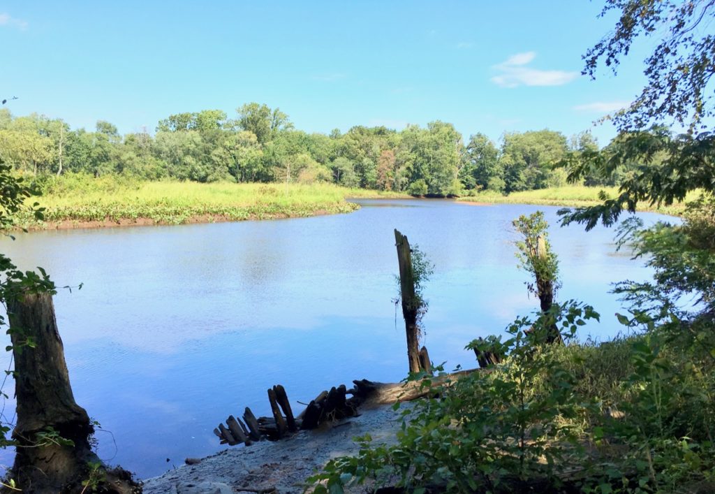
Rancocas State Park is in Burlington County, New Jersey, where the North and South branches of Rancocas Creek meet to form the Forks of the Rancocas. A Lenape village was formerly located here and in the 18th century, agriculturalist Charles Read owned the land. More houses were built in the 19th century, but in the first decade of the 20th century, much of the land was mined for sand, permanently altering the landscape and likely destroying any archaeological remains. Some ruins survived to the present, and trees and other vegetation now cover the scars from mining.
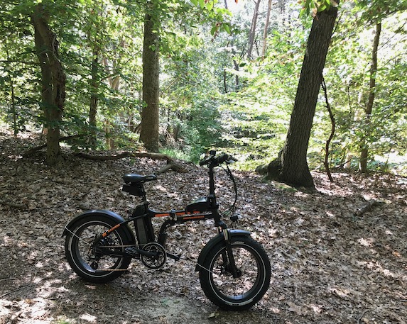
My Radmini e-bike had no trouble with the trails, which includes loose sand, packed sand, lots of roots, a little bit of mud, and the occasional log.
Radpower RadMini. Source: TCMRancocas State Park. Source: TCM