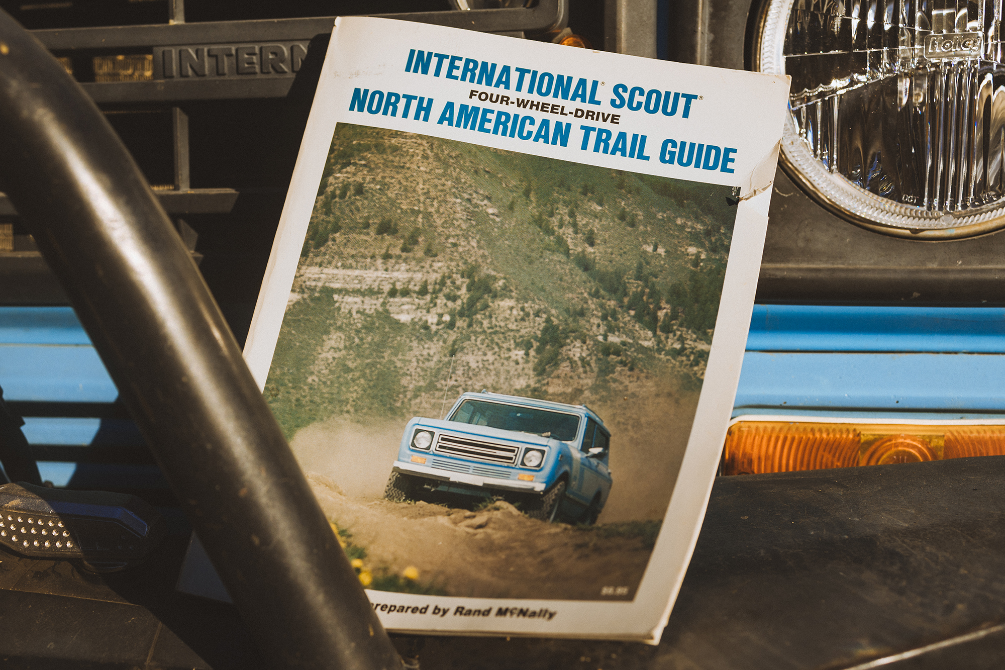
Volkswagen obtained the trademark to the International Scout name a few years ago and, on October 24, the new Scout Motors will officially reveal an all-electric Scout vehicle. In the meantime, they have been leaning into International Harvester Scout history on their website.
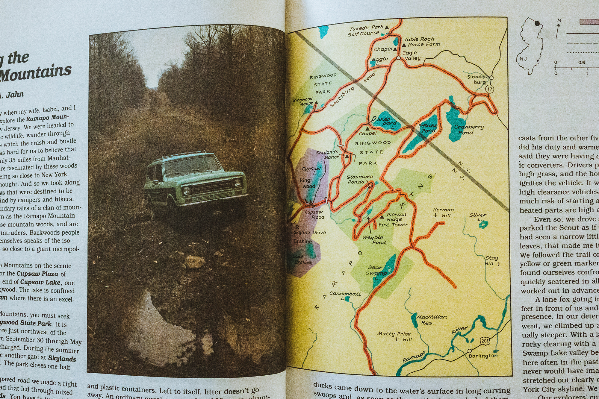
Witness their recent post on the 1979 International Scout Four-Wheel-Drive Trail Guide, a thick (224 pages!) combination atlas and collection of essays on 4×4 trails across America, including, based on the photo below, at least one in New Jersey that may no longer be off-road.
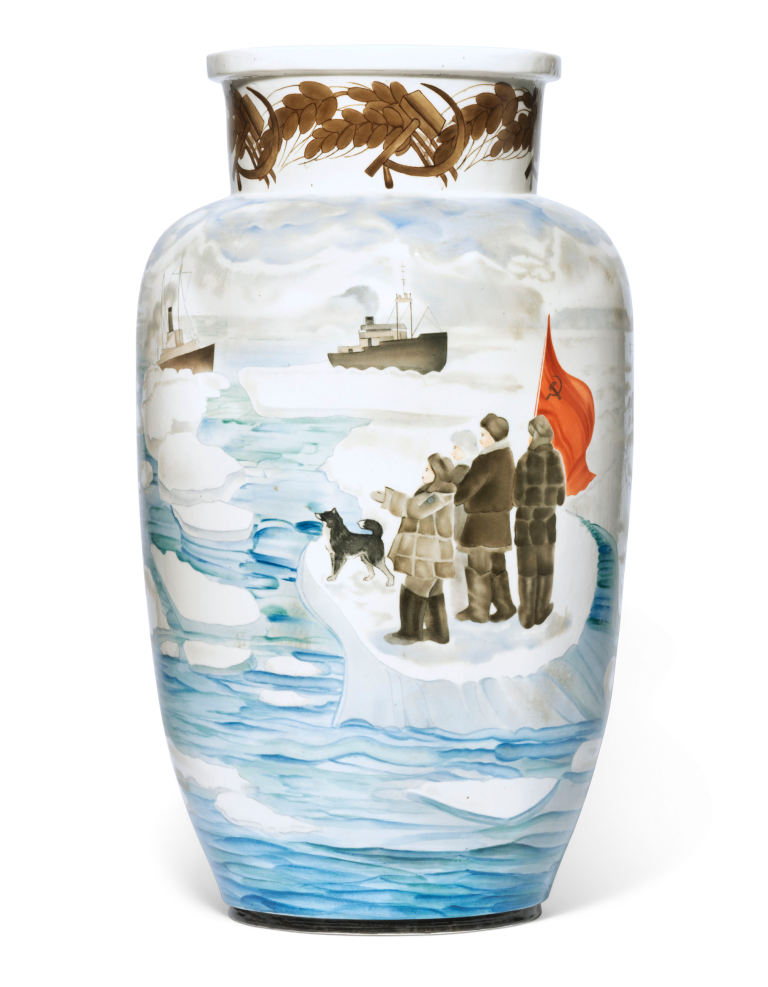
This Soviet-era porcelain vase commemorating the North Pole -1 expedition is pretty accurate: four men and a dog named Vesely were dropped off on a drifting ice floe about 12 miles from the North Pole in May, 1937. By the time they were picked up (at great cost) off of Greenland in February, 1938, the ice floe had shrunk considerably in size.
Propaganda porcelain first started to be produced following the Soviet nationalisation of the Imperial Porcelain Factory in 1918. The factory storage was filled with uncoloured plates, vases, and tea sets, which were all used as the bases for a novel form of Soviet propaganda.
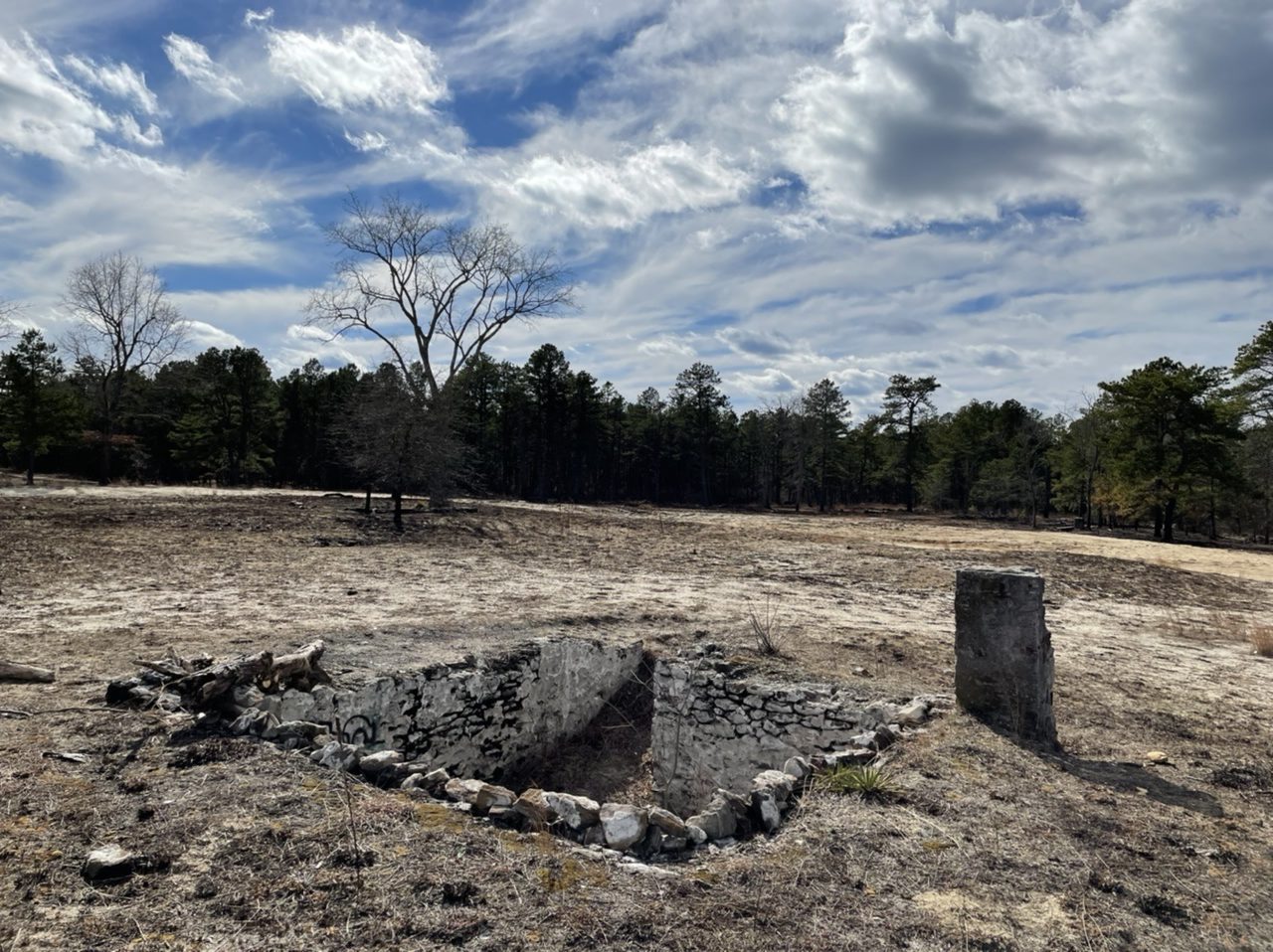
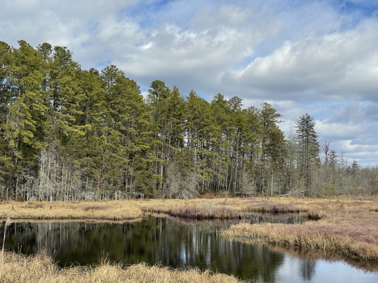
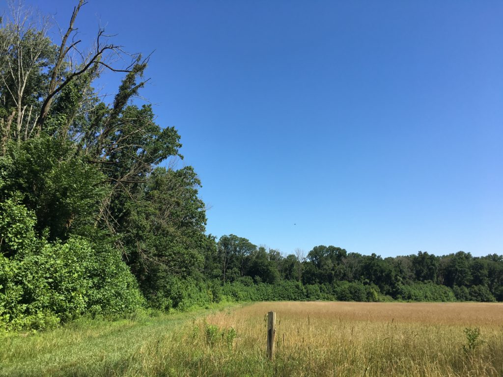
Speaking of ghost towns, Friendship is one of many abandoned towns in the New Jersey Pine Barrens. It was founded around the 1860s as a cranberry farming town. Cranberry packing finally ended around 1960 or so, and at least some people were still living here into the 1970s. The cranberry bogs are still here.
Coincidentally I visited here about a week after controlled burning by the New Jersey Forest Fire Service, so it was much easier to see many of the old building foundations.
House cellar exposed by the burning.Jeep Cherokee was there.Radmini was there, too.Old cranberry bog on Shane Branch at Friendship.Foundation of the former cranberry packing house?More foundations.
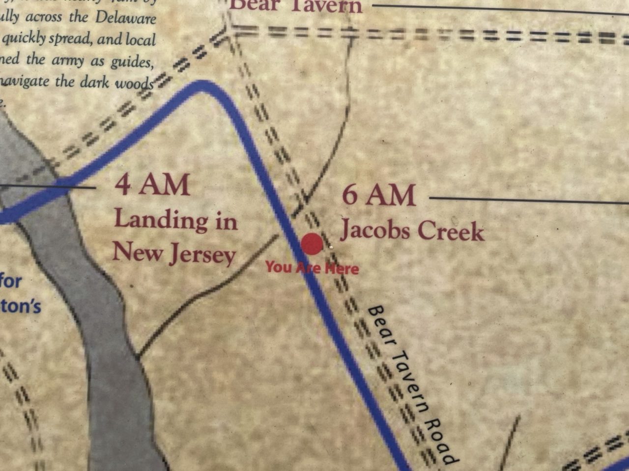
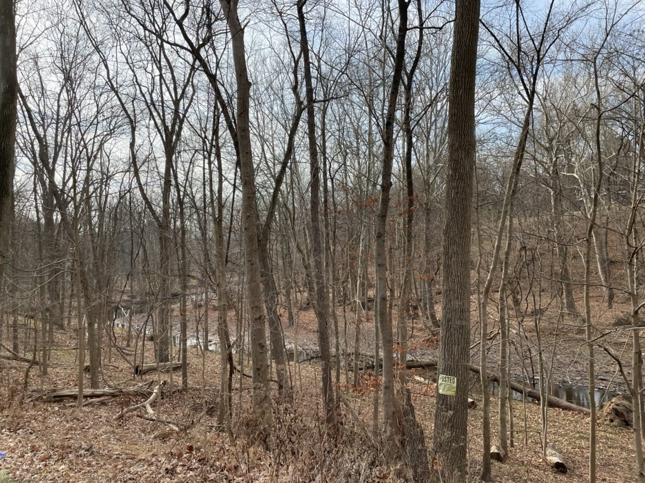
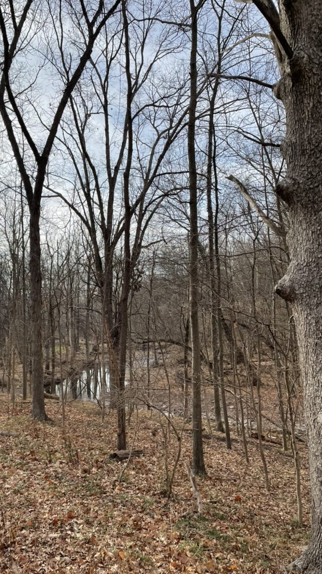
Following the crossing of the Delaware River by boat late on Christmas night, 1776, the Continental Army still had to march several miles through snow, sleet, hail and rain to attack Hessian troops at Trenton. Around 6:00 AM on December 26, they reached Jacob’s Creek. This stream they had to ford on foot, winching their cannons down one side of the steep ravine and back up the other side. Once they had crossed the stream, they still had two more hours of marching before reaching Trenton, where they would achieve a stunning victory over the Hessians.
Jacob’s Creek in autumn. The water would have been higher, faster, and colder when Washington and his troops forded it on December 26, 1776.
In a footnote, historian David Hackett Fischer writes “The line of the road across Jacob’s Creek and its tributary stream must be walked to be understood. Even today after many improvements it presents exceptionally steep grades and sloping surfaces. The topography of the march has been missed in every major historical account of this event” (Fischer, Washington’s Crossing, 2004, p. 516)
Looking downstream at Jacob’s Creek.
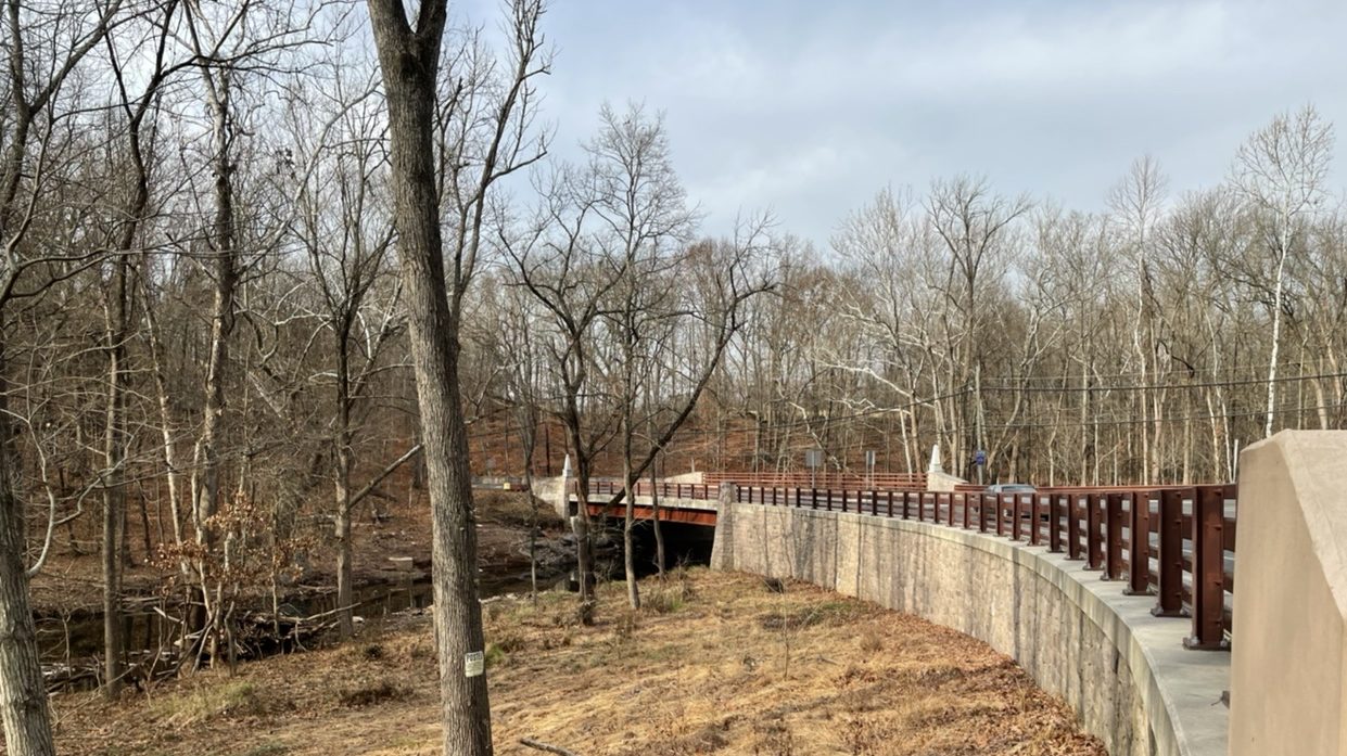
The modern bridge at Jacob’s Creek. The earliest bridge here wasn’t built until 1796.
Featured image: Detail of interpretive sign near the modern bridge.
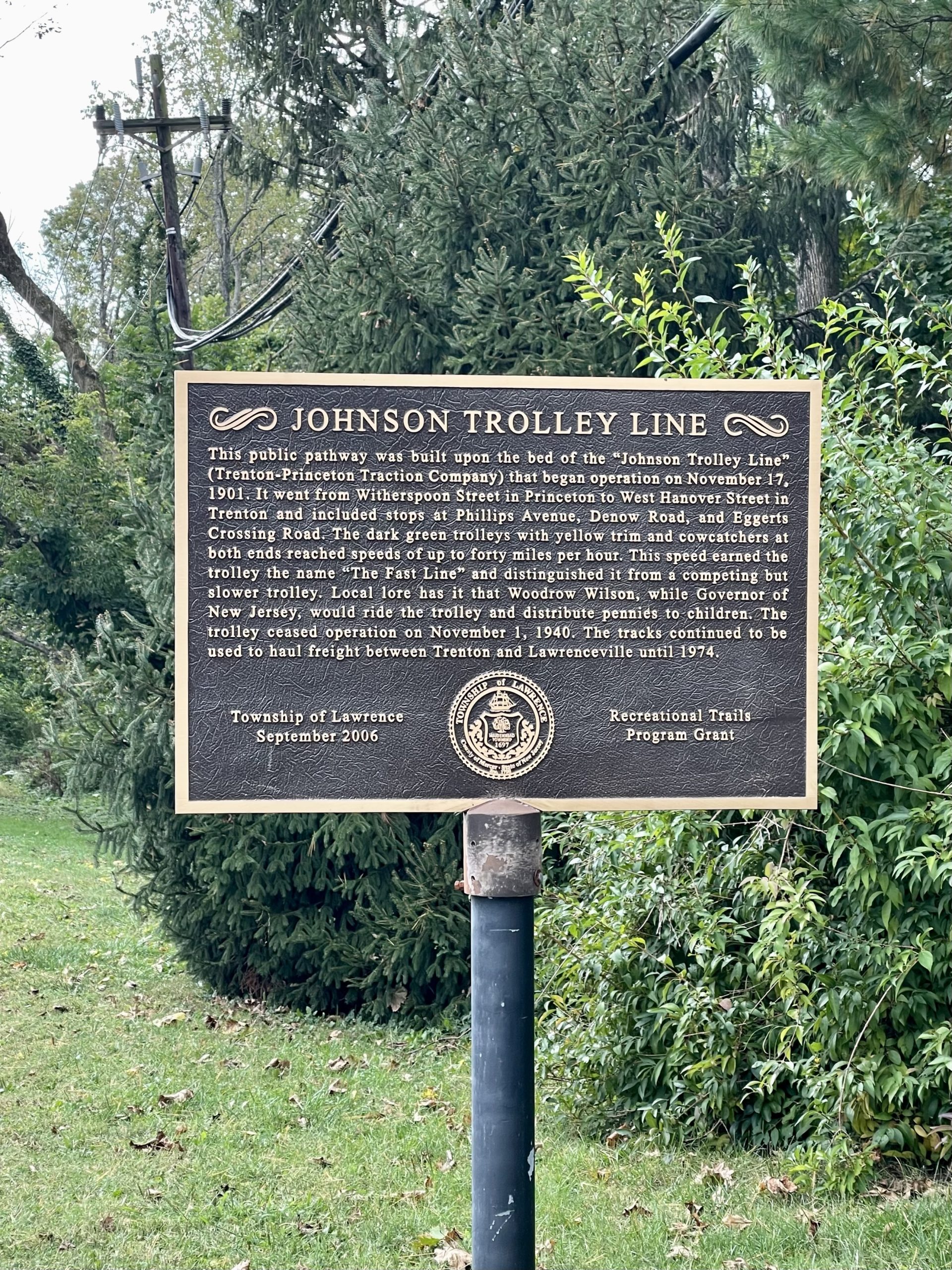
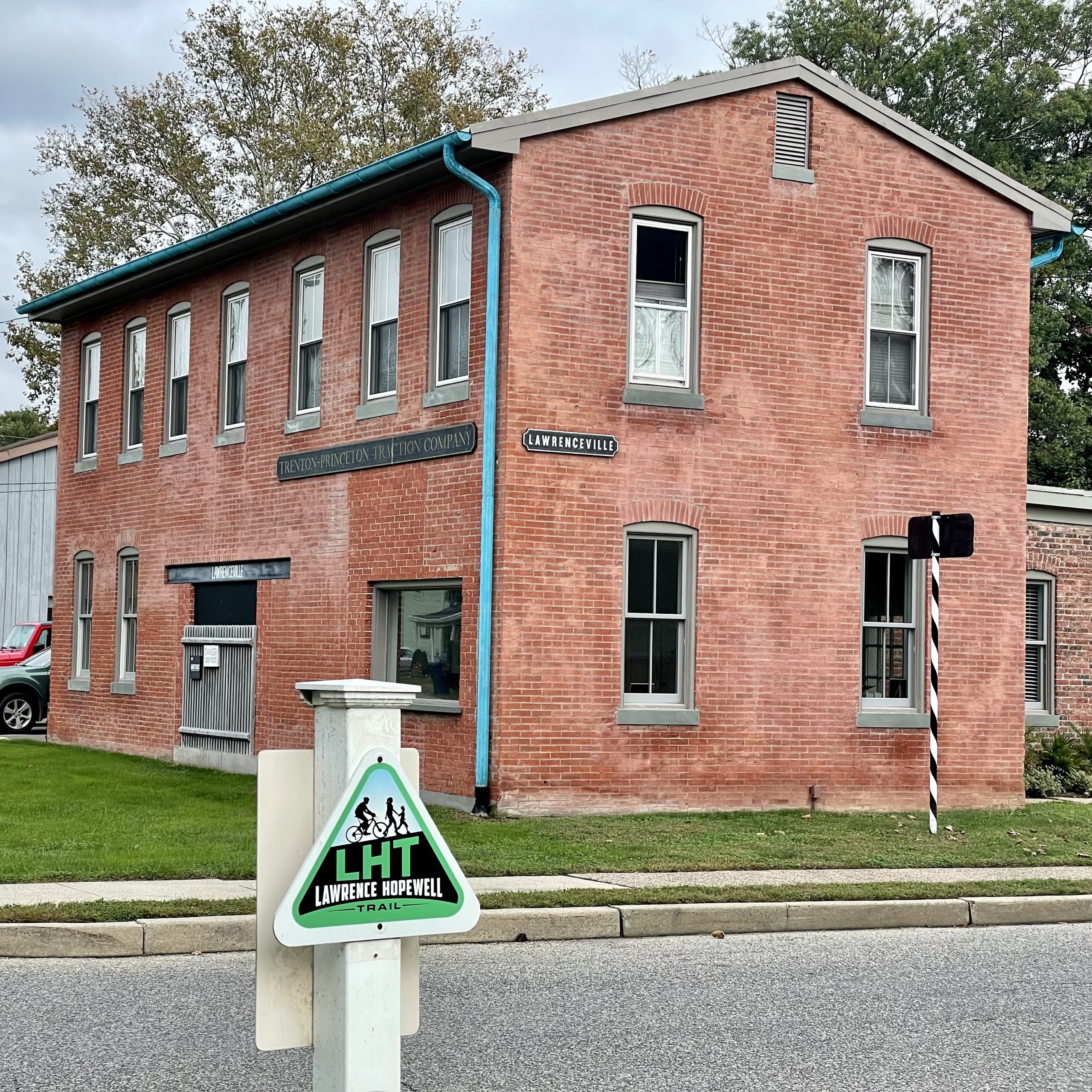
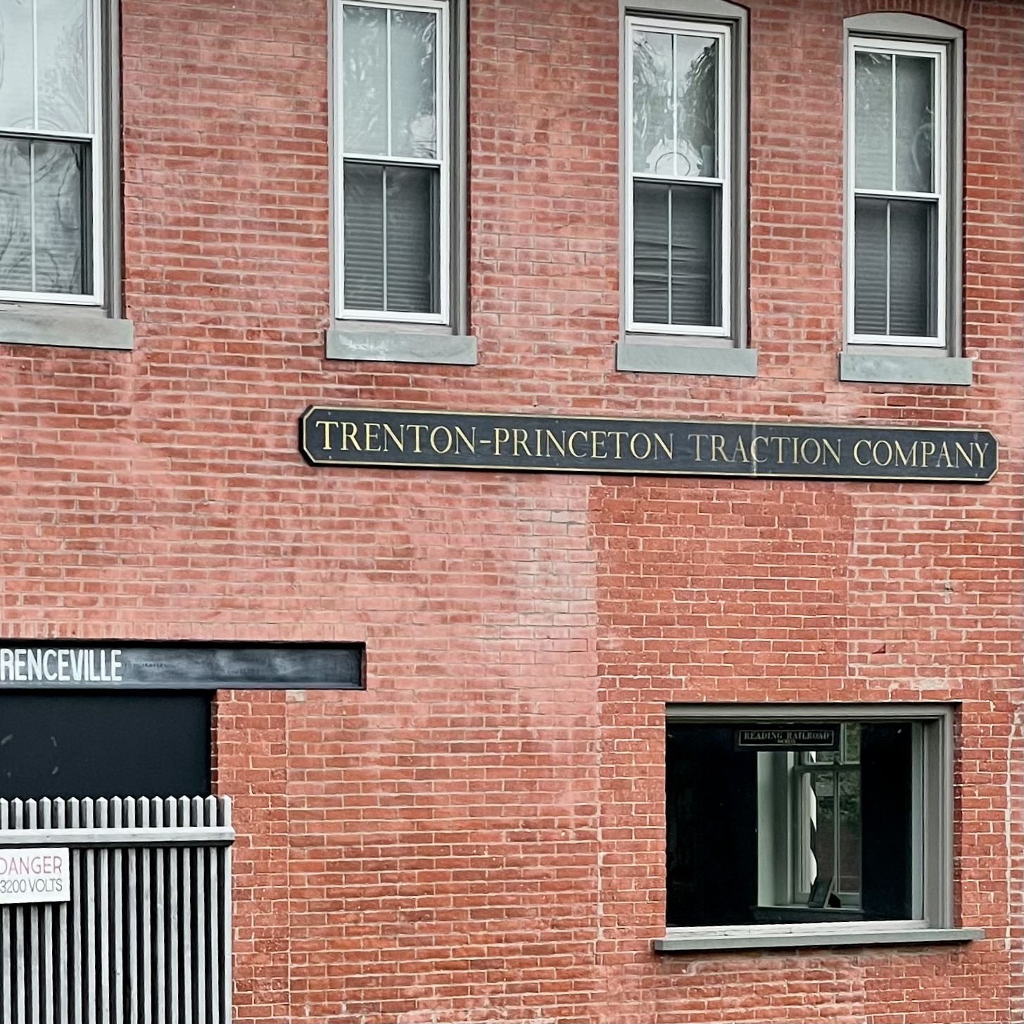
From 1901 to 1940, the Johnson “Fast Line” electric trolley (a.k.a. the Trenton-Princeton Traction Company) carried passengers from Trenton to Princeton.
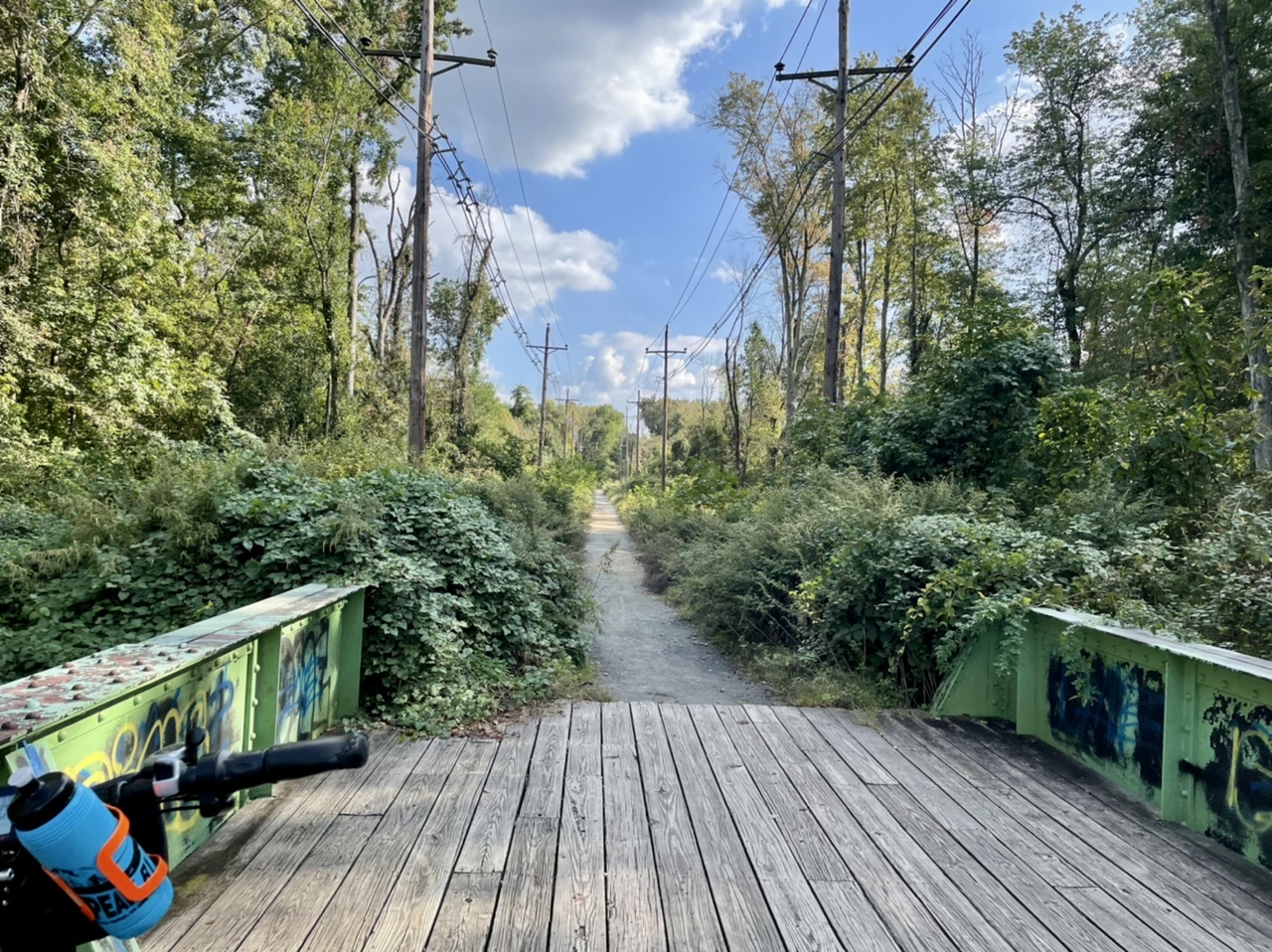
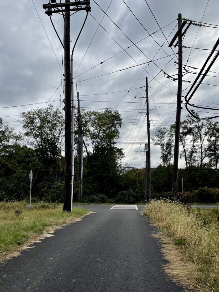
So far, only about three miles of the former 15-mile-long route has been turned into a bike and walk path. The trail is currently split into two sections, bisected by Interstate 295, with no good way to get over it on foot or bike. Perhaps in the future the two segments will be connected.
The southernmost section is riddled with large holes and uneven surfaces, with wetlands and woods on either side. Even though warehouses and parking lots are nearby, it feels more wild. Traveling north, the trail becomes more civilized before petering out near the athletic fields of Rider University and the highway.
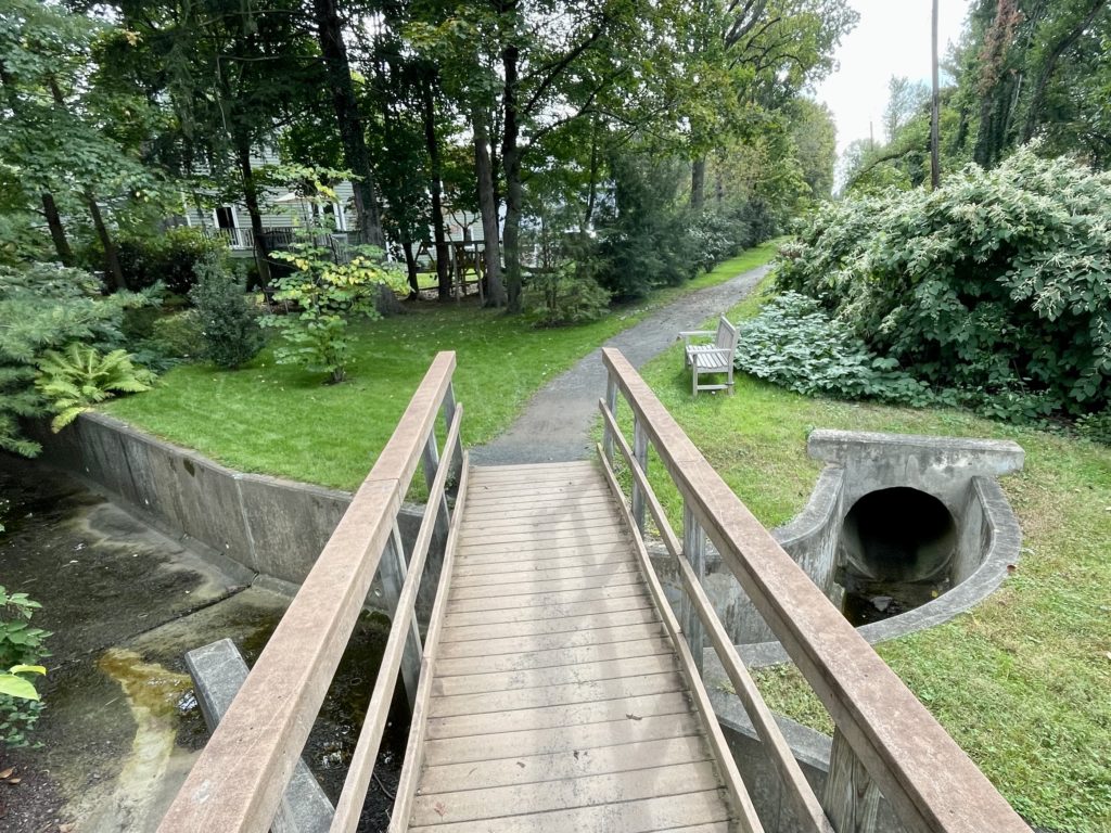
Over the Shabakunk
Trolley Line South
North of the interstate, the trail runs through suburbs before entering Lawrenceville. Here, it crosses, but is not part of, the Lawrence-Hopewell trail. At the end of the Johnson trail is the former office of the Johnson Ferry, which has been restored (with reproduction signage).
Pictures from a visit last autumn to Franny Reese State Park in New York. The sun-dappled ruins are the former estate of wealthy dentist Charles H. Roberts. A graduate of Albany Medical College, Roberts’ dental innovations made him rich and allowed him to branch out into other lucrative business ventures. In the 1860s, he began building his home, Cedar Glen, on the west bank of the Hudson River overlooking Poughkeepsie. After Roberts died in 1909, protracted squabbling over his will by his children resulted in the decline of Cedar Glen. Read more of the story at About Town.
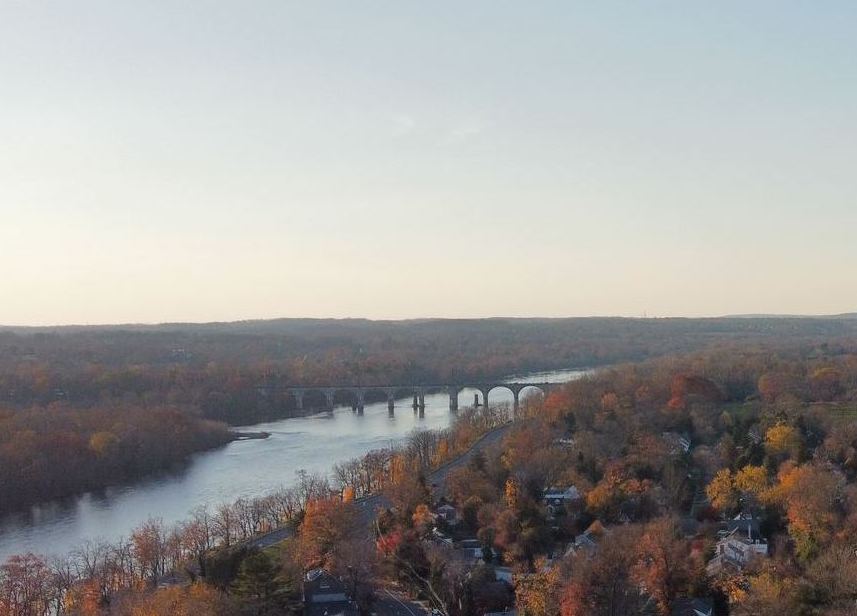
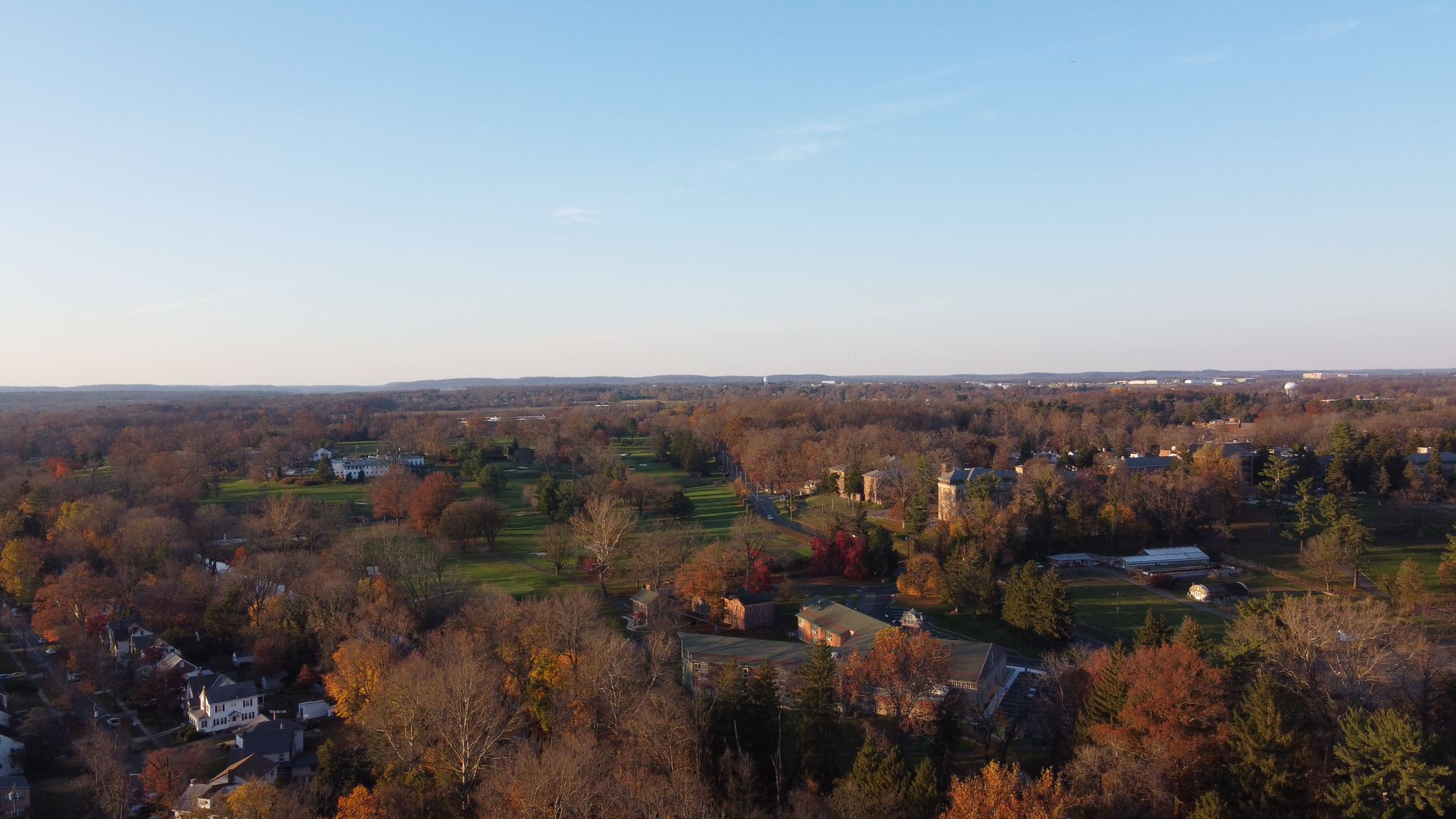
Rotary Island in the Delaware River. Source: TCMTrenton looking west towards Ewing, with the Trenton Country Club and Trenton Psychiatric Institute (two separate institutions) in the middle distance. Source: TCMLooking towards downtown Trenton. Source: TCM
Here’s a podcast about the Darién Gap that’s NOT about somebody trying to drive through it (but also, tell me more about that drive north of Montreal) .
There are places on the map where roads end.
The Darién Gap, or el Tapon del Darién, is one of them. It’s a stretch of rainforest in southern Panama, right on the edge of Central and South America. From a globetrotter’s perspective, the Darién Gap might seem to exist mostly as an obstacle to tourists dreaming of a truly epic road trip from Alaska to Tierra Del Fuego.
But, while a road is one way for movement, it’s not the only way to get somewhere. What happens, or does not happen, in a place without roads?
Outside/In produced by Sam Evans-Brown with Justine Paradis and Taylor Quimby.
Summer’s in full swing, and I’ve been revisiting some parks I last rode in colder weather, including Crystal Lake Park and Cadwalader Park, as well as visiting Tyler State Park in Pennsylvania early on the 4th of July. Too busy riding to take many pictures.
Crystal Lake ParkTyler State Park. Source: TCMCadwalader Park. Source: TCM