With an elevation of about 200 feet, it’s not much of a mountain, but the lakes were created over a century ago to produce ice. In 1914, you could buy 100 pounds of ice for 30 cents from the Princeton Ice Company.
Most of the trails are for hikers only, but there are paved multi-use paths around the edge of the park, a road leading up to Palmer Lake, and a single unpaved trail for bikes that crosses over the outflow for the lake.
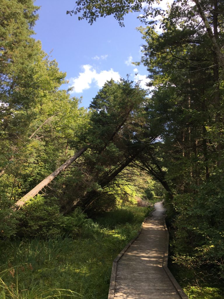
Blue Trail to the J. Seward Johnson Jr. Boardwalk. Source: TCM
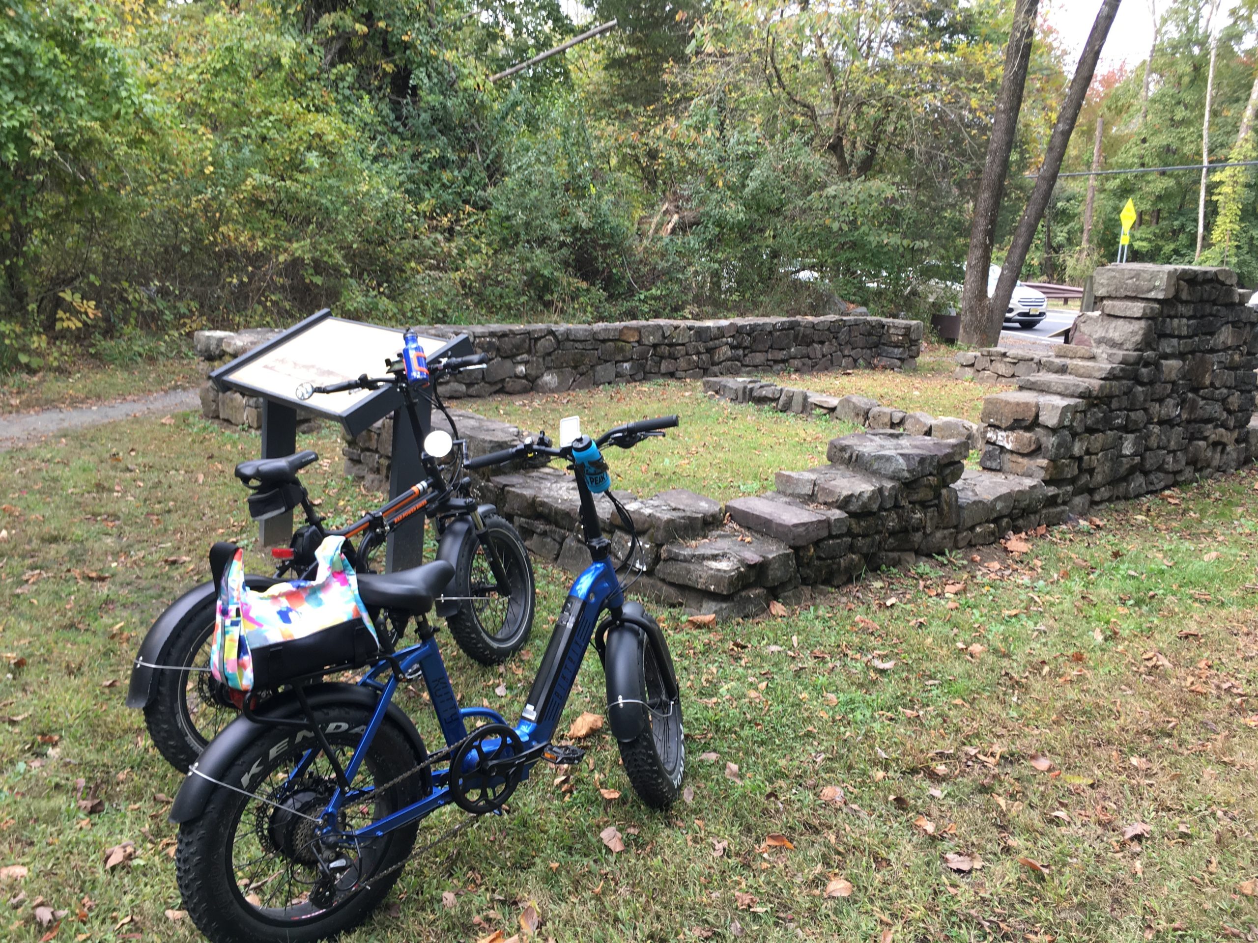
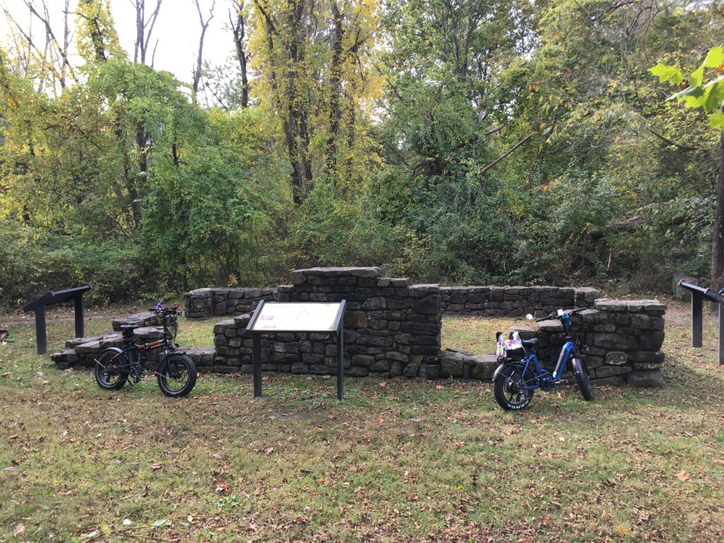
Photos from a ride a couple months ago. The lake was created in 1906 by Andrew Carnegie so that the Princeton University crew team would have a place to practice their rowing. It is parallel to but separate from the Delaware & Raritan Canal. The Lake Carnegie Historic District, like the canal, is listed on the National Register of Historic Places.
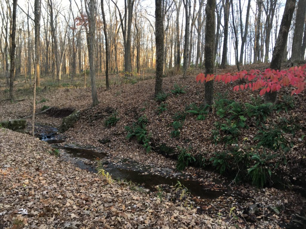
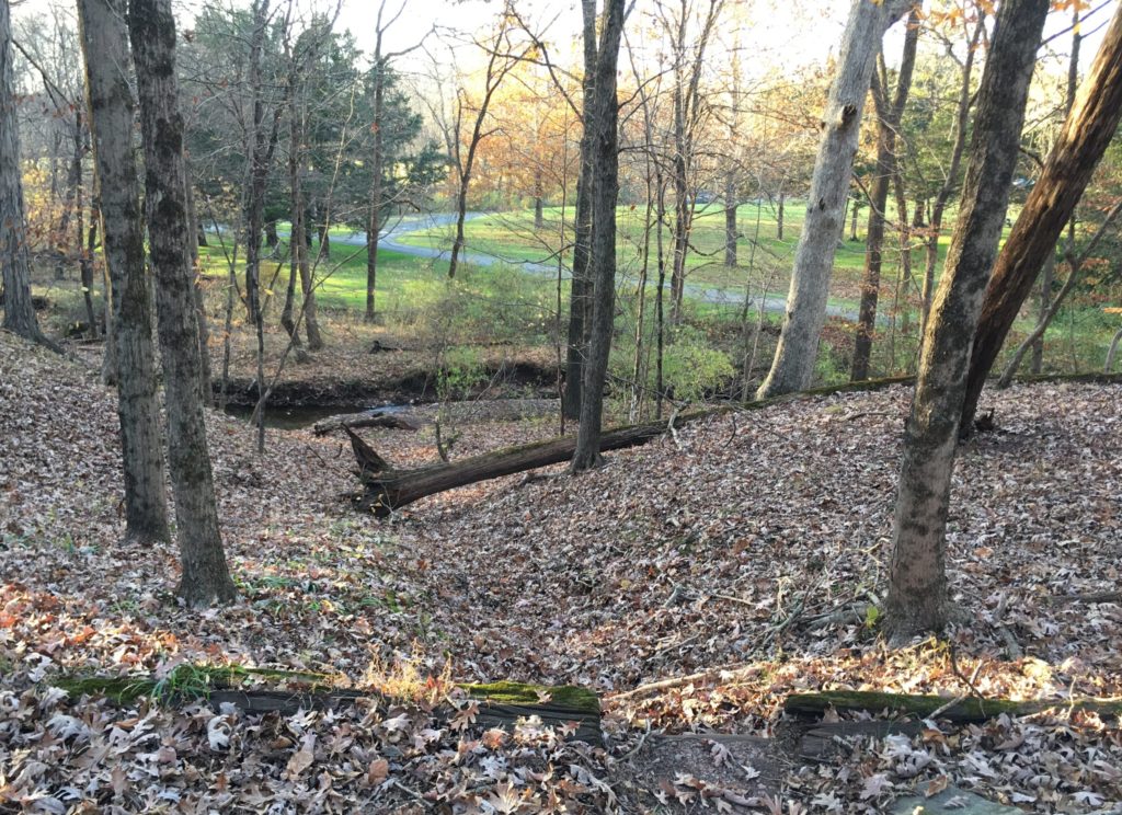
D&R Canal trail near Carnegie Lake, NJ. Source: TCMRestored Bridgetender’s House foundation along the D&R Canal near Rocky Hill, NJ. Source: TCMSource: TCMCanal near Rocky Hill, NJ. Source: TCMCarnegie Lake. Source: TCM
I’ve been in New Jersey a long time, but had never made it to High Point State Point. Up in the northwest corner and very close to both New York and Pennsylvania, the park surrounds, not surprisingly, the highest point in New Jersey. The obelisk was built in 1930 and is 220 feet high.
The land was donated to the state by Anthony and Susie Kuser in 1923. The Kusers, were, among many other things, ardent birders. In the early twentieth century, Anthony Kuser encouraged the (futile) search for surviving passenger pigeons by offering a reward for proof of their existence in the wild. The reward was never paid.
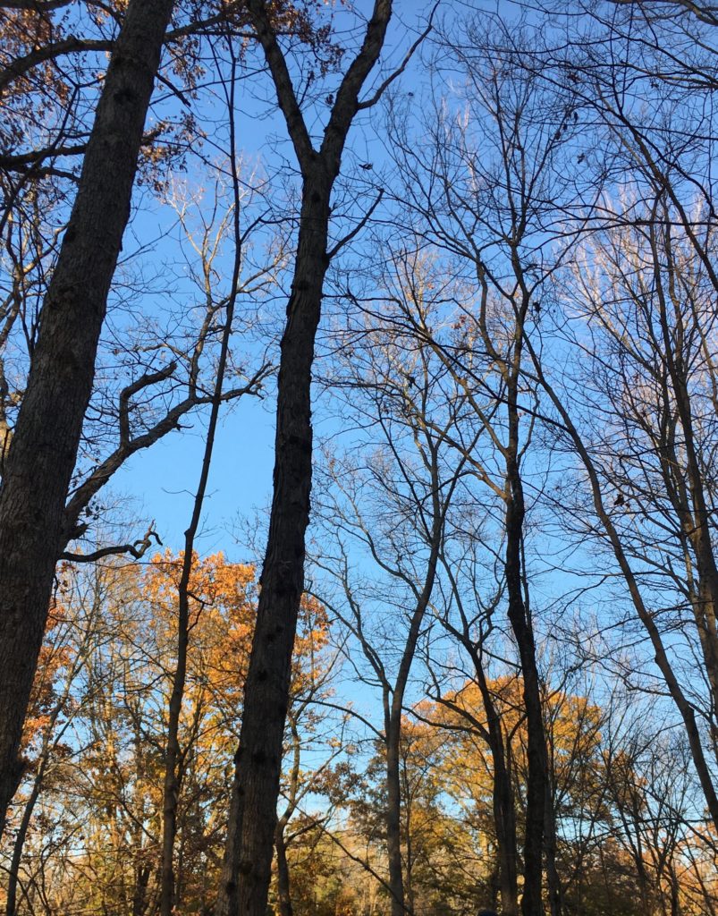
View from the base of the High Point memorial. Source: TCMCedar Swamp Trail at High Point State Park. Despite the name, the trail loops around a bog, not a swamp. Source: TCM
The Dryden Kuser Natural Area is within High Point State Park The Atlantic White Cedar Bog here is, at an elevation of 1,500 feet, thought to be highest bog of its kind in the world.
As in, you are forbidden to drive a car on it, but you can bike, walk, or ride a horse on it. The former Wissahickon Turnpike, the main drag through Wissahickon Valley Park in Philadelphia, was built in the 1820s and got its current name in the 1920s when it was closed to vehicles.
Wissahickon Creek. Source: TCM
On a pleasantly cool weekend morning there were a lot of people in the park, meaning we had to drive around a bit before finding a parking spot. The gravel path is wide and the people spread out so it was a leisurely 8 mile ride.
Some nice Parkitecture in Wissahickon. Source: TCMPhilly’s first public drinking fountain, built 1854 and shut down in 1957 due to water pollution. Source: TCM
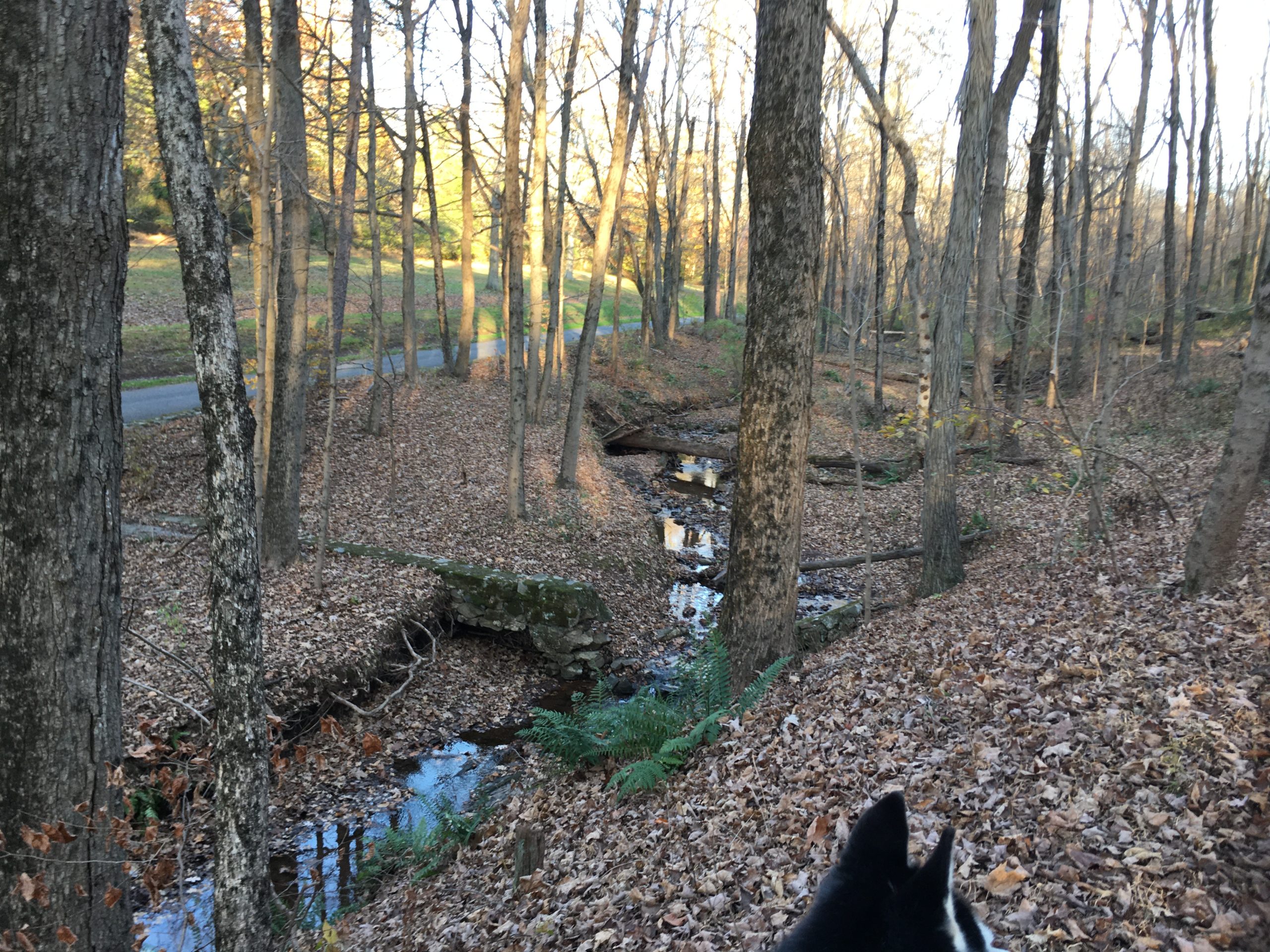
Radmini on the Lawrence Hopewell Trail. Source: TCMCarson Road Woods. Source: TCM
About one mile of the twenty-mile-or-so Lawrence Hopewell Trail passes through Carson Road Woods’ hedgerows, fields, and forests. The land was once farm fields and a peach orchard; in the early twenty-first century, it was preserved as a park, saving it from development. To the north, the LHT passes through the Educational Testing Services headquarters, home of the SAT, GRE, and other standardized tests, before looping back through Rosedale Park and Mercer Meadows, a.k.a the Pole Farm, which are about three miles west of Carson Road Woods.
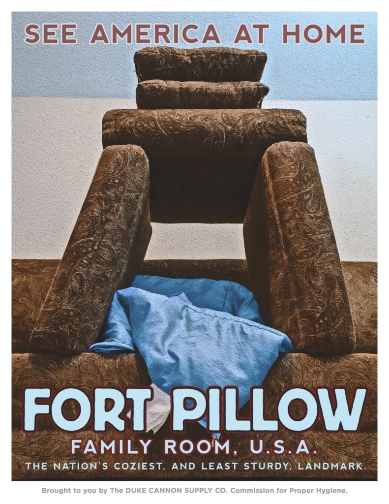
Commemorate your involuntary staycation with these posters from Duke Cannon and maybe protect America from the confederates with a Fort Couch couch fort reenactment this weekend?
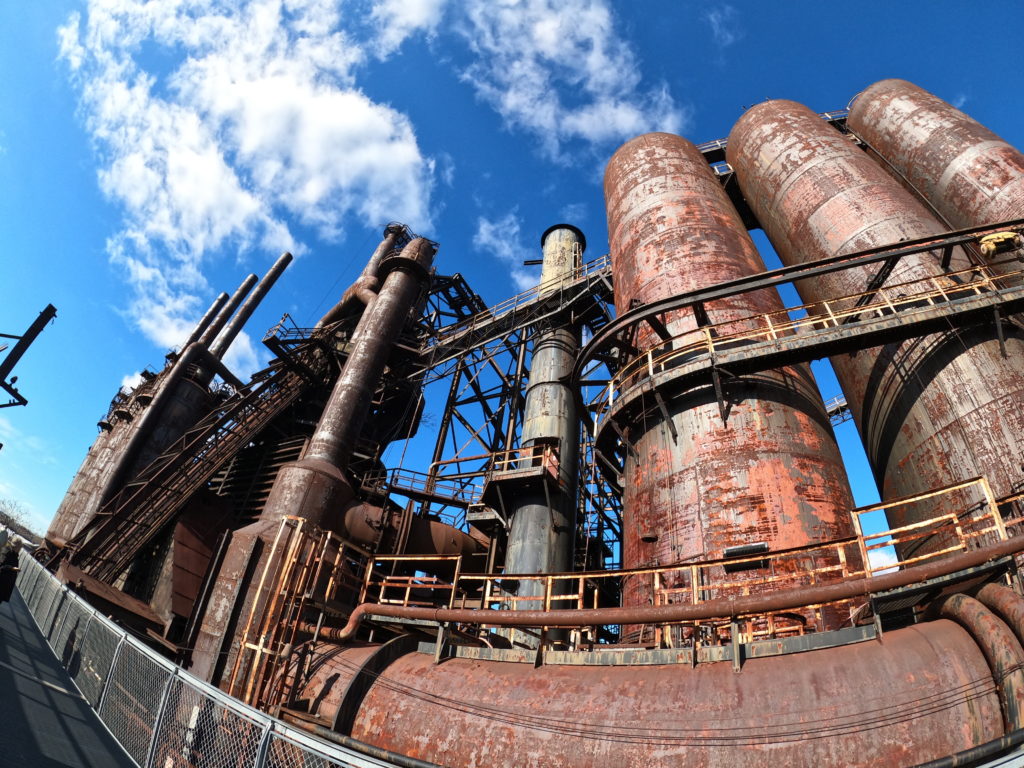
In December, the city of Bethlehem, Pennsylvania, hosts the Christkindlmarkt, a large outdoor craft fair. More interesting are the rusting structures at the former Bethlehem Steel Plant, where the market is located. After the company went bankrupt around the turn of the century, the factory complex was transformed, and is now home to a casino, the SteelStacks arts and culture center, a museum, and more.
These photos were taken from the Hoover-Mason Trestle, an elevated walkway that runs alongside the furnaces and other industrial buildings.
About 10 miles wandering around Mercer Meadows (a.ka. the Pole Farm) and Rosedale Park.
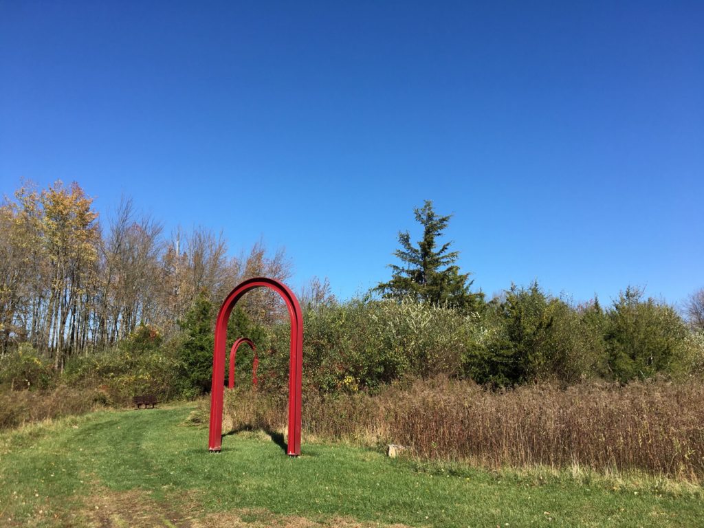
The RadMini in front of the Last Pole Standing at Mercer Meadows. Source: TCMAT&T Building One was where radio technicians connected telephone calls from the U.S. to the rest of the world. The arches show where the entrances to the building used to be. Source: TCM
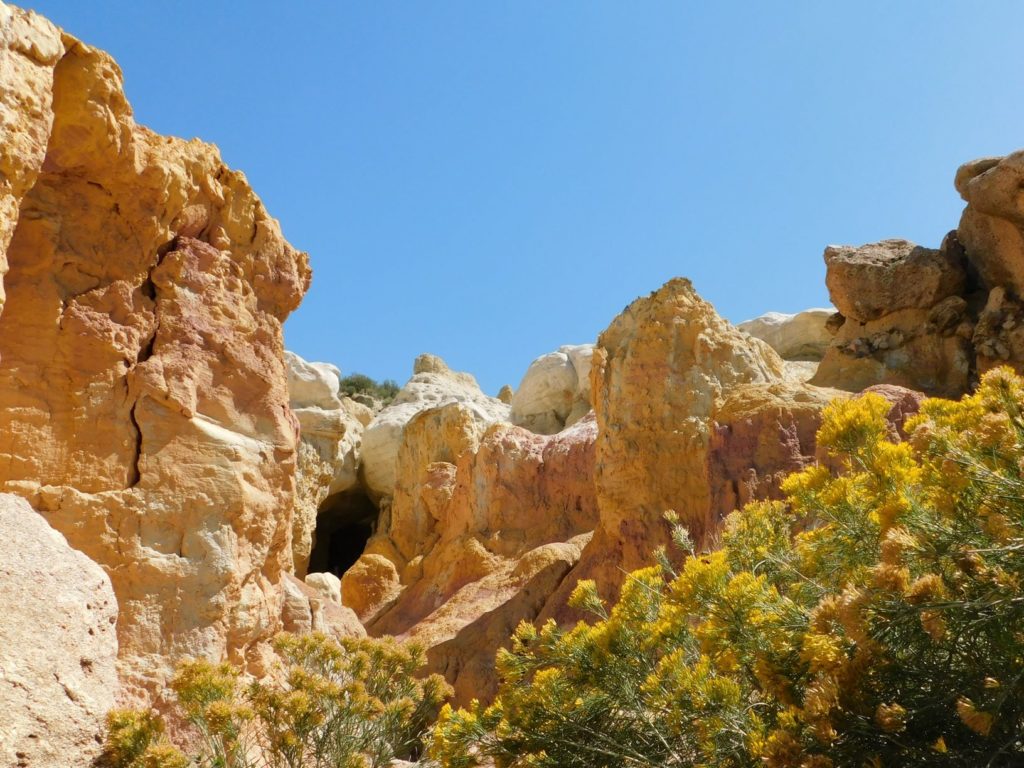
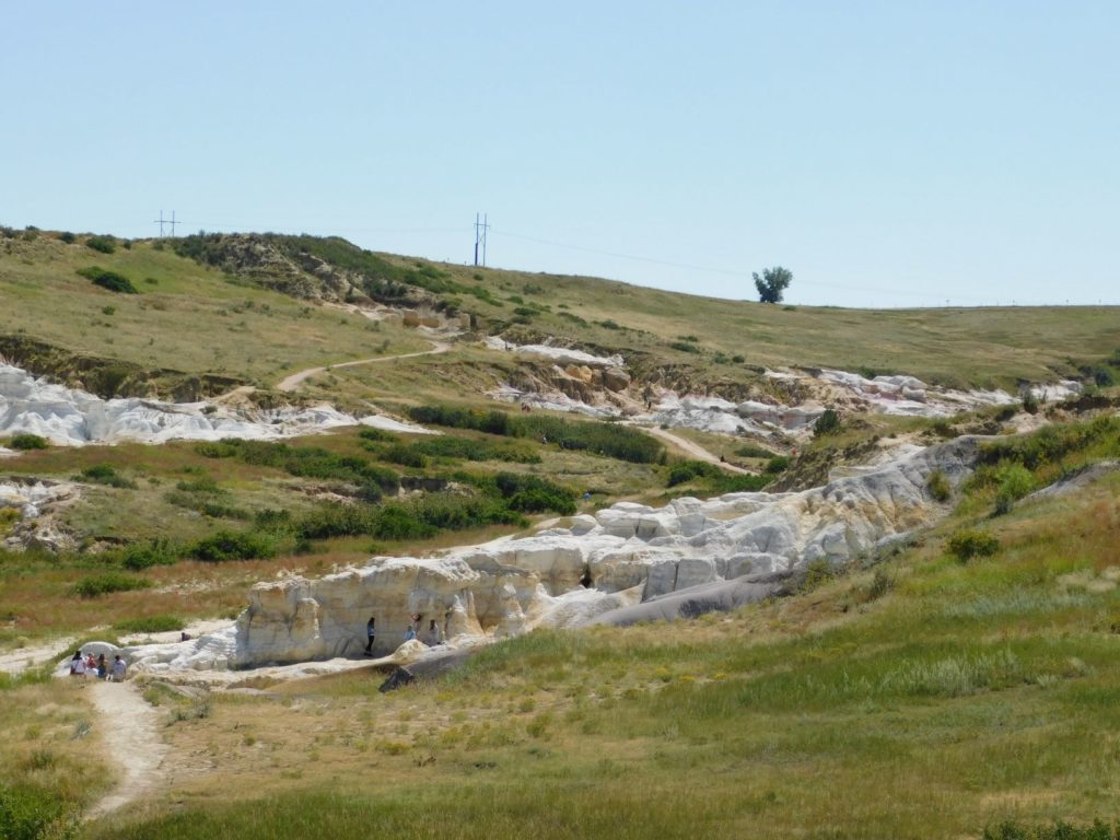
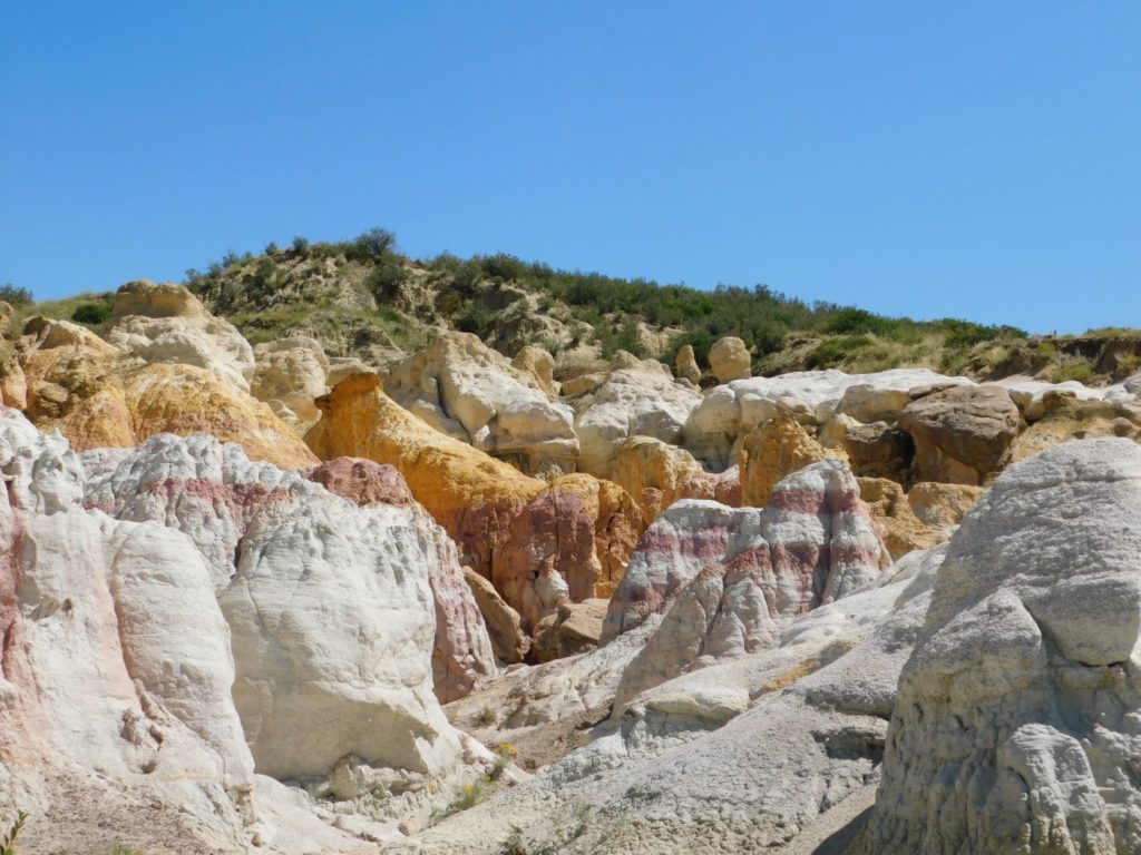
There’s some cool geology on display at Paint Mines Interpretive Park, operated by El Paso County on the plains of Colorado, about 35 miles northeast of Colorado Springs. Colored bands of clay, about 55 million years old, are sandwiched between white sandstone layers. Erosion has shaped the landscape into a badlands of hoodoos and spires. The different colors of clay are striking, but many photos on the internet appear to have been aggressively photoshopped to accentuate the effect.