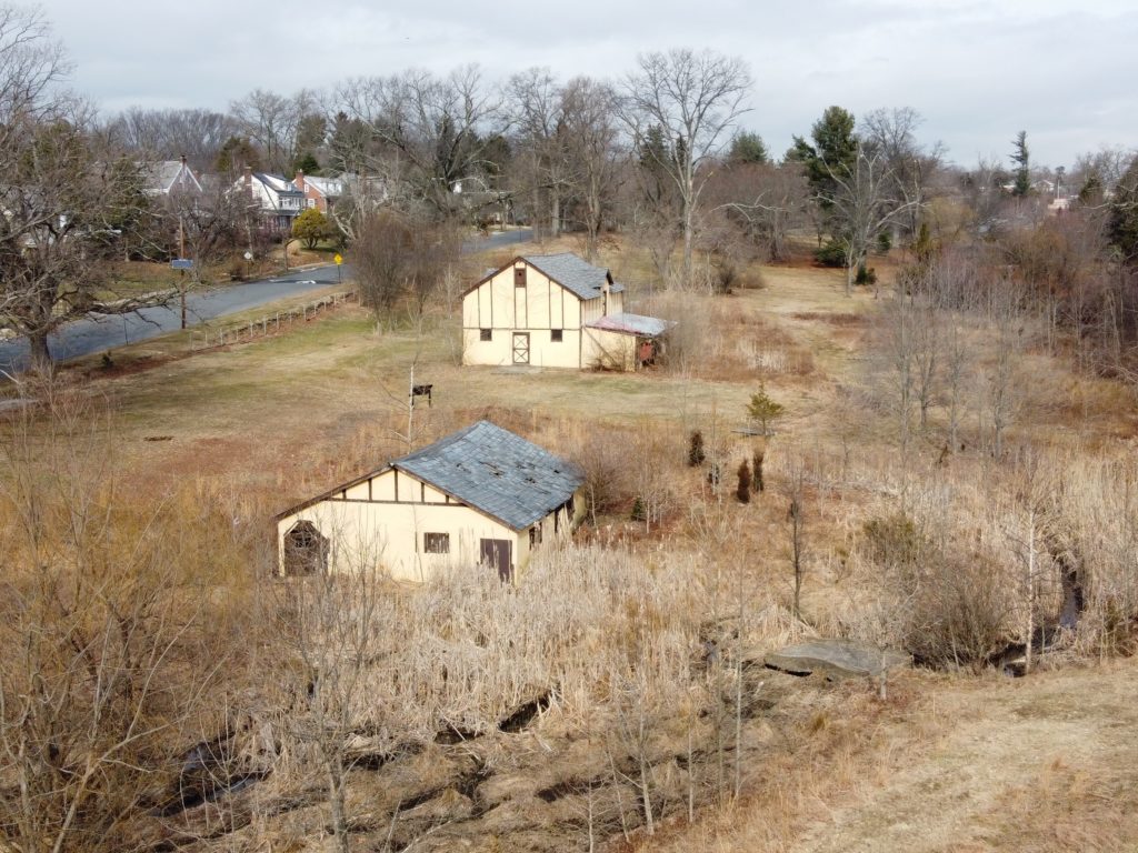
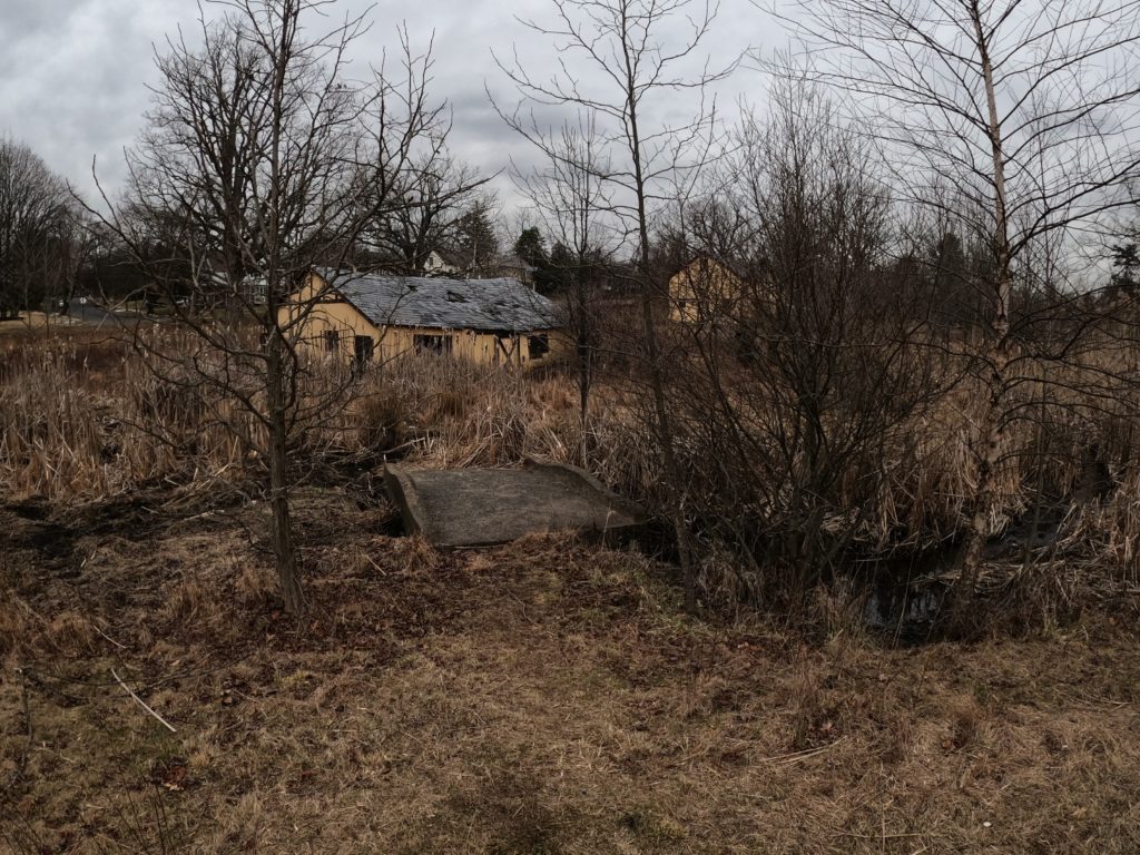
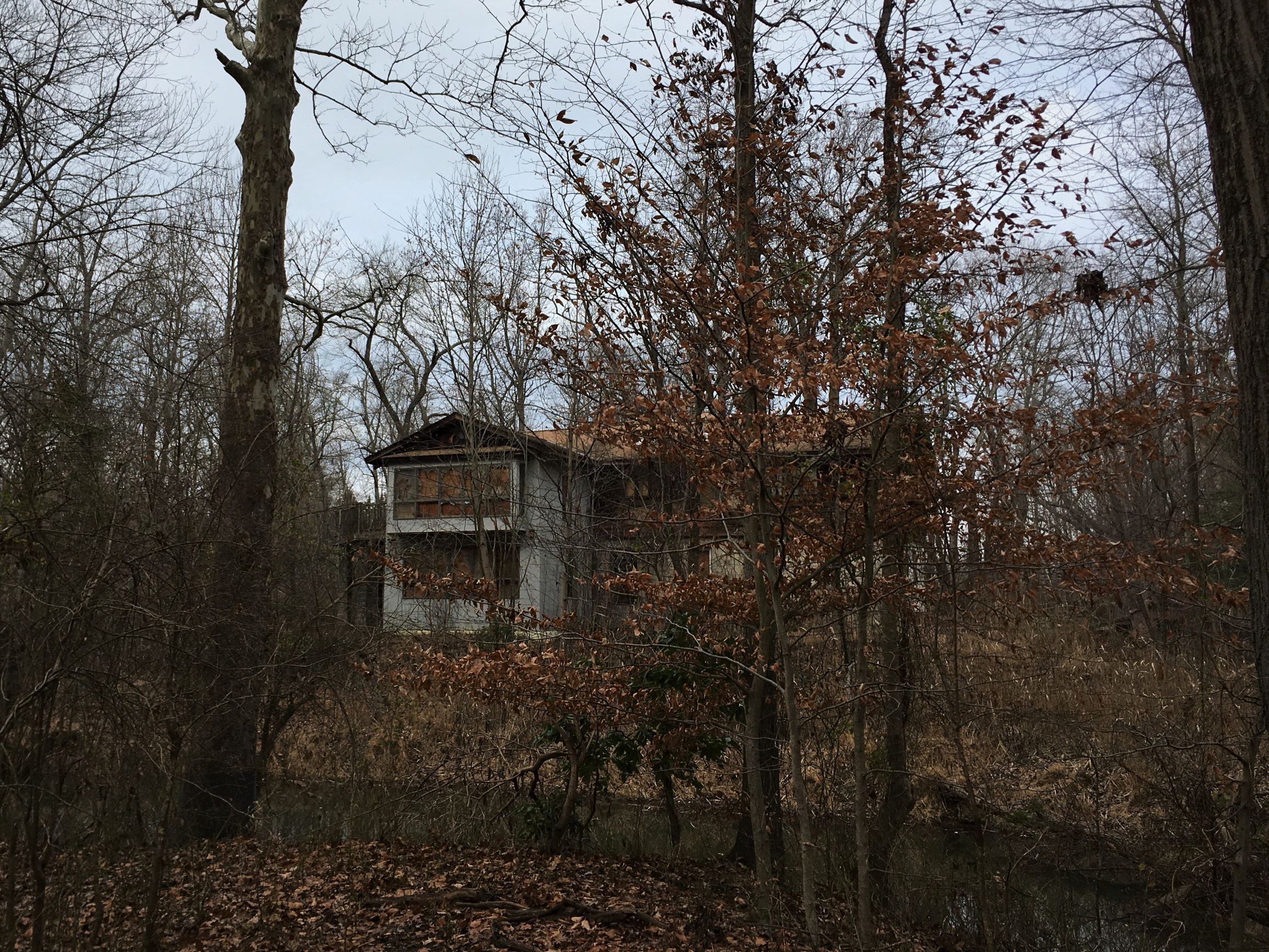
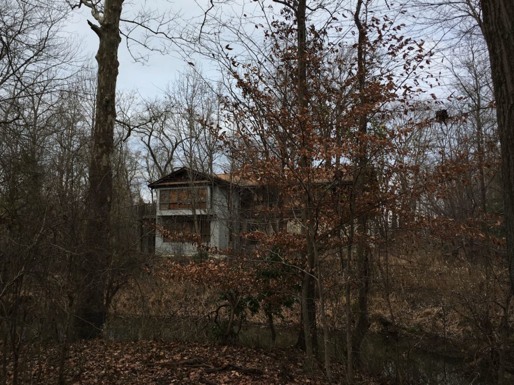
Frederick Law Olmstead did not want a zoo in the park he designed for the city of Trenton, but Trenton gave the people what they wanted anyway. These barns were added later and housed exotic deer and other animals into the 21st century. Recent work has restored the natural areas, but the abandoned and decaying animal barns remain in place for now.
Source: TCMSource: TCMYou bet the RadMini was there. Source: TCM
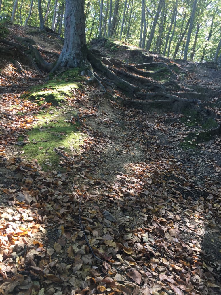
Serendipitous is not the right word to use when you find yourself riding your bike alone in the woods around Crystal Lake on Friday the 13th. Fortunately, this was not Camp Crystal Lake, the stomping grounds of infamous axe-murderer Jason Voorhees. That’s up in north Jersey.
This Crystal Lake Park is near Bordentown in central Jersey. The park is mostly farm fields, with some steep wooded areas along the bluff overlooking Crystal Lake. To get to the park, you do have to drive down Axe Factory Road. I saw no actual axe factory, nor, I’m happy to say, any axe-wielders.
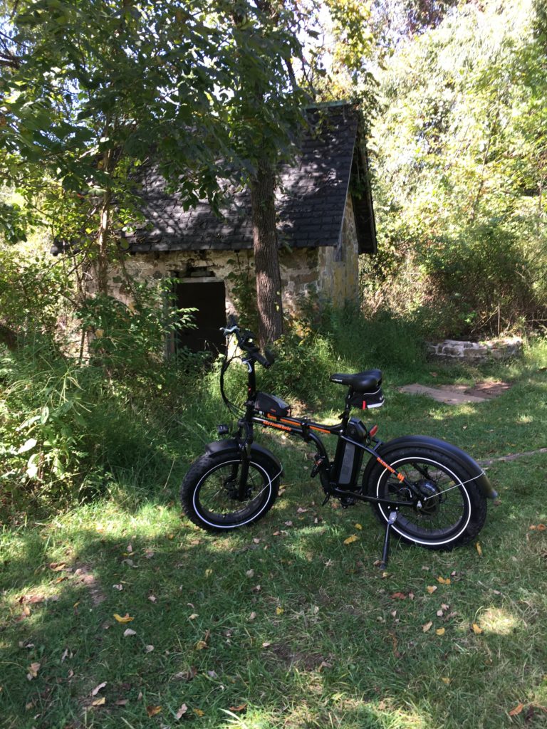
Sunny ride over the leaf-covered trails at Clayton Park near Imlaystown in Monmouth County, New Jersey. I rode for over six miles, covering almost all the trails in the park. Sighted one horse, one bike, and three dogs.
Some would call the region through which it passes “desolate”; a better word would be “subtle”
A.D. Pierce, Iron in the Pines 1957
By the 1700s, a road, which likely followed a pre-existing Native American trail, ran from Camden, New Jersey, to the port town of Tuckerton on the Atlantic coast. According to local histories, to make their travel to yearly meetings easier, Quakers built a bridge over the Batsto River around 1772. The bridge predictably became known as the Quaker Bridge, and the road that passed over it became Quaker Bridge Road. In the 1800s, horse-drawn stage coaches regularly carried both mail and passengers through the Pine Barrens along this route.
In 1809, Arthur and Elizabeth Thompson opened the Quaker Bridge Hotel, also known as Thompson’s Tavern, just south of the bridge. The tavern remained open until at least 1850. Any remnants of the building vanished many years ago.
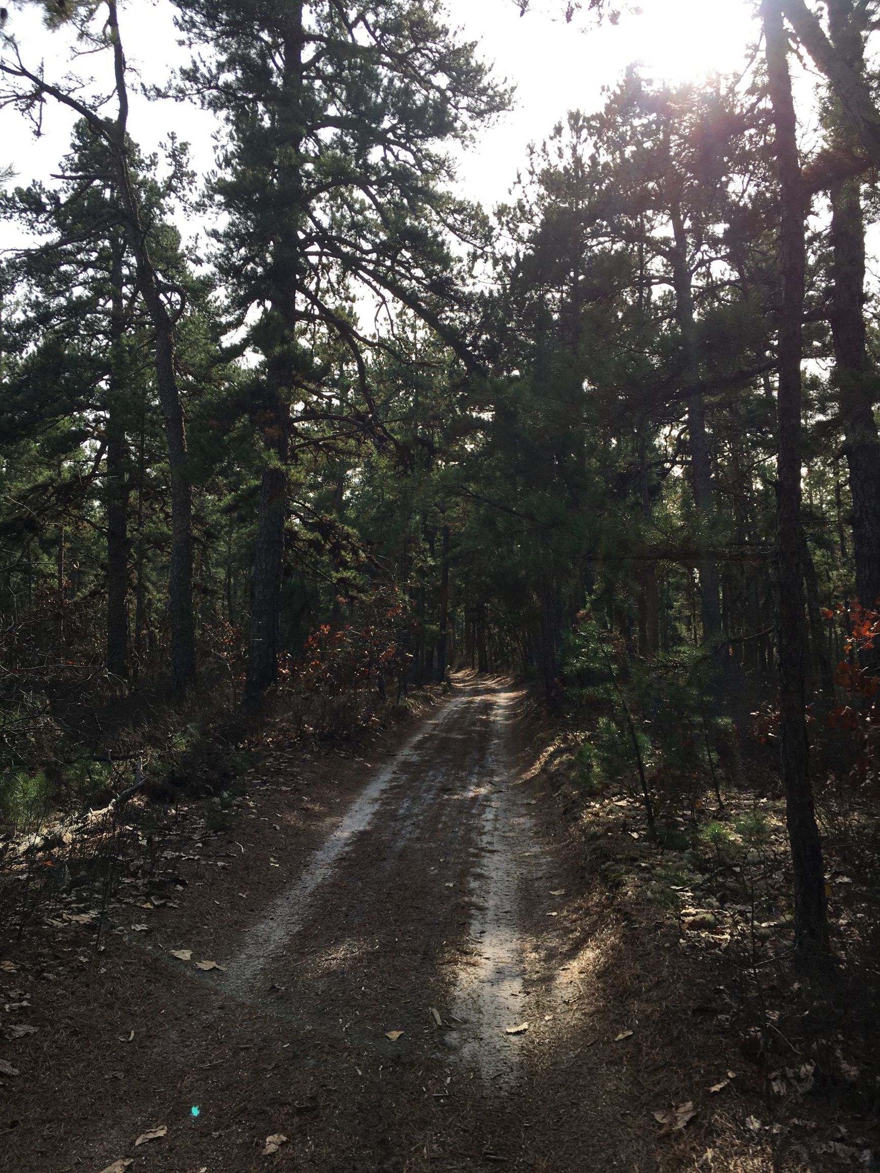
The area is now part of Wharton State Forest and Quaker Bridge Road is still a sandy trail through the barrens. On a pleasantly warm November day, there were few other people around: another (non-electric) fat bike, some hikers, a big dog, a couple of motorcycles, one jeep. From Atsion, a former company town and farming community, to the Quaker Bridge is about four miles. With some diversions, my round trip was 15 miles.
The 1826 Atsion Mansion and the remains of a concrete barn from the early 1900s. Source: TCMIt’s the Pine Barrens, so there has to be an abandoned cranberry bog along the way. Source: TCM
Swap out that Cyberquad in the back for a couple of e-bikes and we might have a deal. Say, the mid-level dual-motor AWD for $50K. Available in 2021, assuming Elon Musk avoids the fate of the last high-profile automobile designer who built a futuristic stainless steel car.
About 10 miles wandering around Mercer Meadows (a.ka. the Pole Farm) and Rosedale Park.
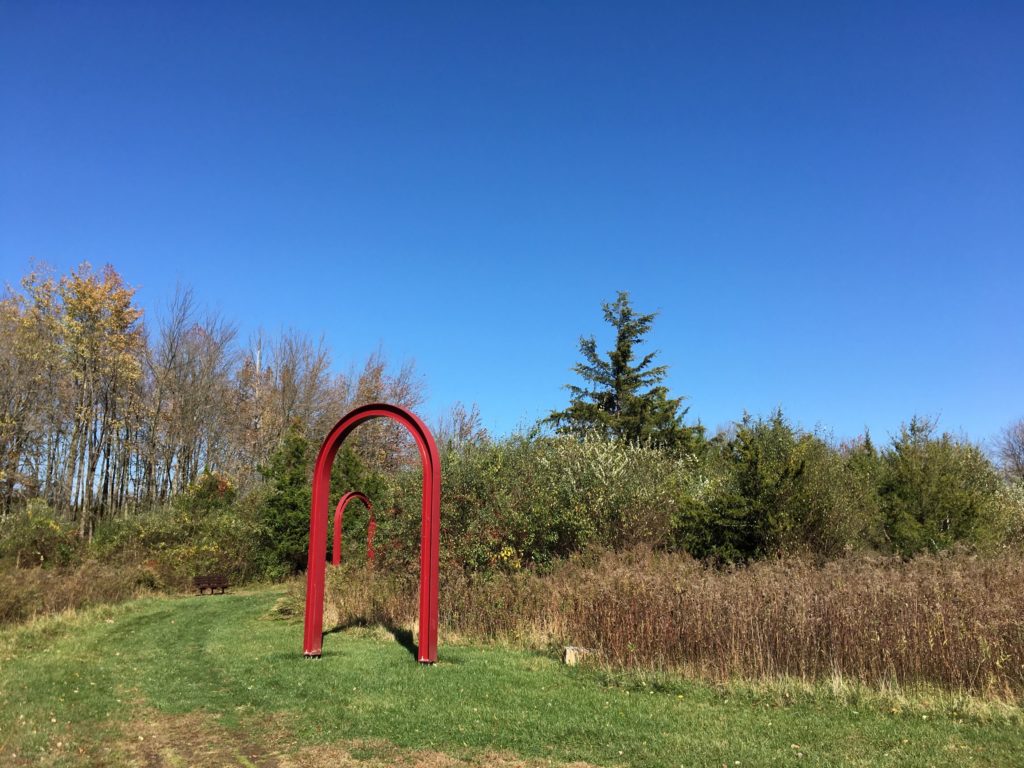
The RadMini in front of the Last Pole Standing at Mercer Meadows. Source: TCMAT&T Building One was where radio technicians connected telephone calls from the U.S. to the rest of the world. The arches show where the entrances to the building used to be. Source: TCM
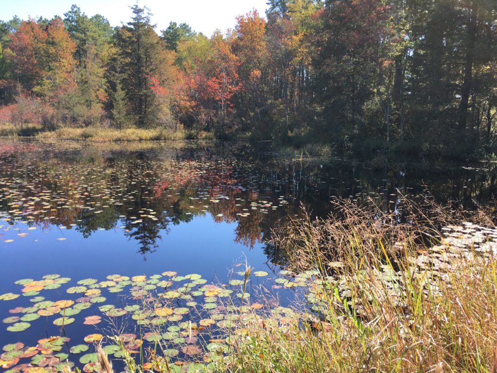
At the Cranberry Bogs along Mt. Misery trail. Source: TCM
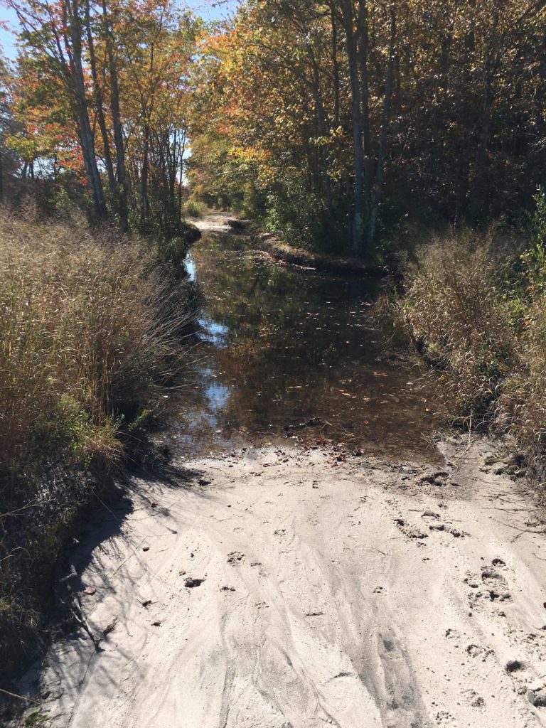
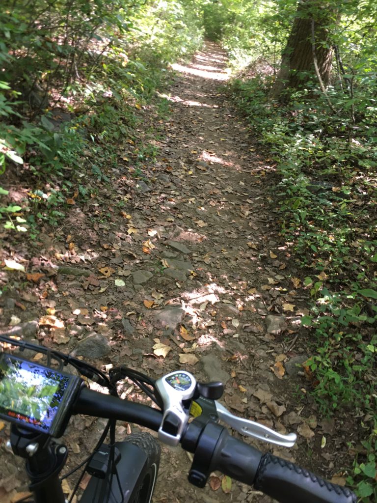
Fall colors are appearing in the Pine Barrens. I rode about 10 miles on parts of the Mt. Misery trail and Glass House Road in Brendan Byrne State Forest, which provide a mix of paved roads, wide graded sand roads, and single track closely hemmed by bushes and trees. I must have been the first visitor that morning, because I was constantly riding through webs spanning the trail and when I stopped for a bit, there were at least three spiders still hanging on to the front of my bike.
The RadMini alongside the bogs. Source: TCMRiding through the cranberry bogs in Brendan Byrne State Forest. Source: TCMAnother view of the bogs. Source: TCM
Near the end of the ride, the Reeves cranberry bogs provided a peerless photographic opportunity. The bogs were created by William H. Reeves at the beginning of the twentieth century and remained in operation for at least half a century.
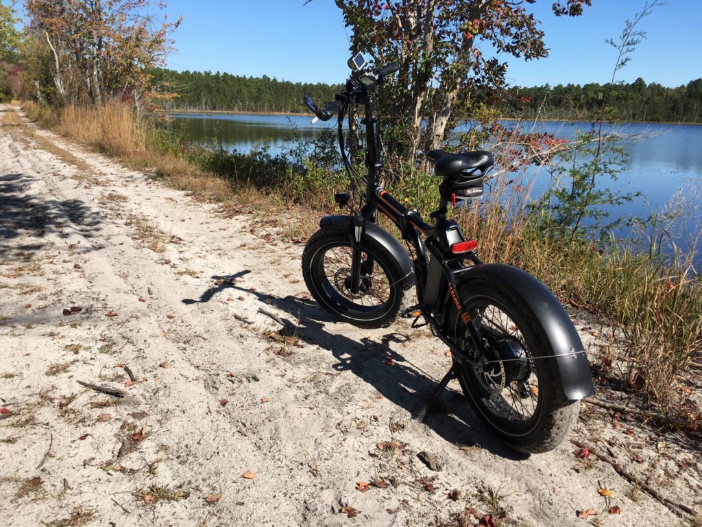
The roads around the bogs had some soft sand. The RadMini did not seem to have a problem with it, but I did almost wipe out plowing through a turn a little too fast.
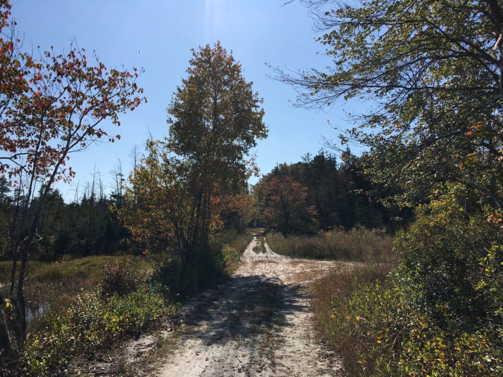
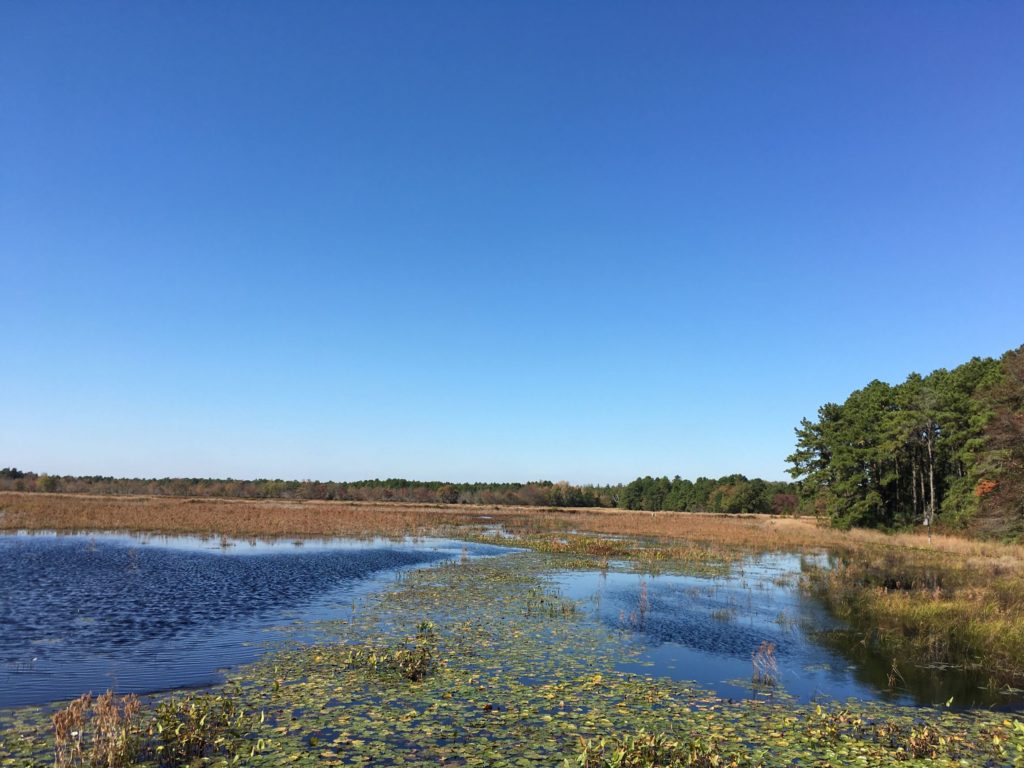
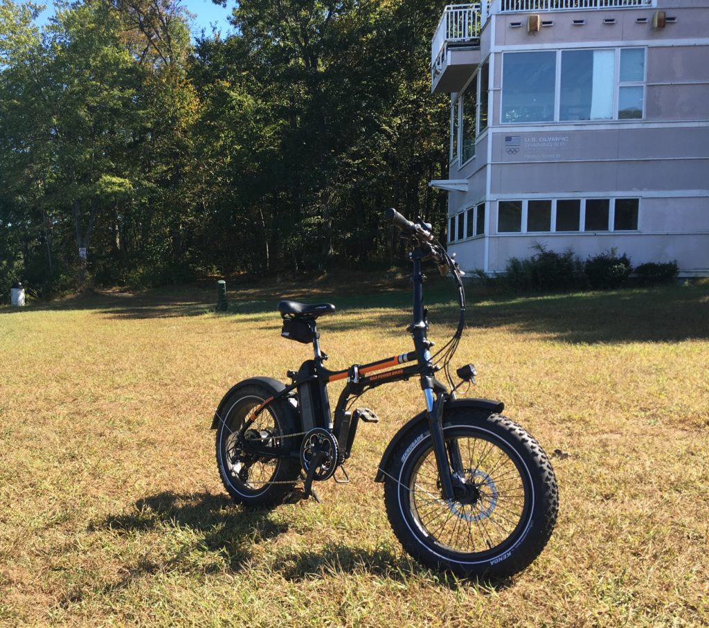
Another quick ride, on both single track and the paved bike path. The lake here was constructed in the 1970s by damming Assunpink Creek. It’s used as a U.S. Olympic training site for rowing.
Near the Finish Tower. Source: TCMIn the woods. Source: TCM