David Murrell on everything that’s not being done for the Philadelphia birthplace of the United States:
Month: September 2019
E-Biking Baldpate
A quick, 5 mile out-and-back ride along the Ridge Trail in the Ted Stiles Preserve at Baldpate Mountain, New Jersey.
Biking Down Historic Gold Camp Road
The Gold Camp Road runs through the Rocky Mountains south of Pikes Peak in Colorado. For over a hundred years, it has been traveled by tourists, first on passenger trains and later in automobiles. The Colorado Springs & Cripple Creek District Railway was built around the turn of the twentieth century to bring gold ore down from the mines around Cripple Creek and Victor. By the 1920s, the railroad was out of business and the route was soon converted into an automobile toll road for tourists.

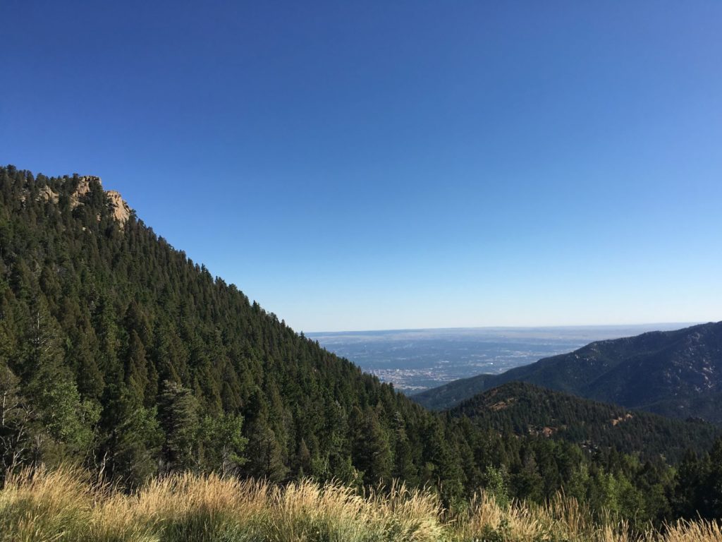
It remains a popular destination. We rented a couple of KHS mountain bikes from Challenge Unlimited and they drove us in their van up the unpaved and potholed Old Stage Road to St. Peters Dome, roughly halfway between Cripple Creek and Colorado Springs. Our driver dropped us off with a couple water bottles, a photocopy of a hand-drawn map, and a little backpack with a pump and repair kit, in case we got a flat tire. From there, it was all downhill.
The first eight miles or so are closed to automobiles, and we were riding on a Monday after the summer tourist season ended, so we had the gravel road to ourselves. We rode through two tunnels, stopping several times to take in the views. After about an hour and a half, we reached Tunnel #3. In 1988, this tunnel collapsed (which is why cars are no longer allowed), so we had to walk the bikes along a trail that goes over the tunnel. Below Tunnel #3 there was a parking lot, cars, and more hikers and bikers, but it was definitely not crowded. We continued downhill through more tunnels and rock cuts.
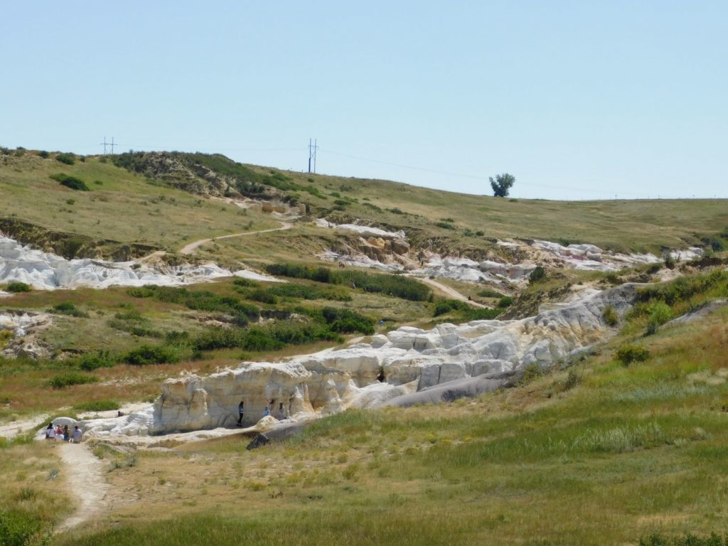
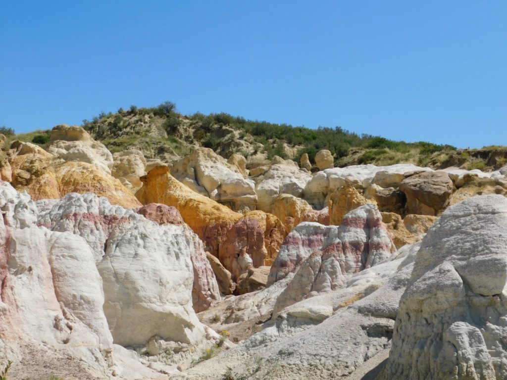
Visiting Paint Mines Interpretive Park
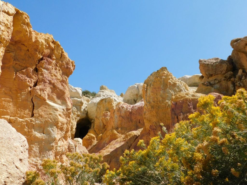
There’s some cool geology on display at Paint Mines Interpretive Park, operated by El Paso County on the plains of Colorado, about 35 miles northeast of Colorado Springs. Colored bands of clay, about 55 million years old, are sandwiched between white sandstone layers. Erosion has shaped the landscape into a badlands of hoodoos and spires. The different colors of clay are striking, but many photos on the internet appear to have been aggressively photoshopped to accentuate the effect.
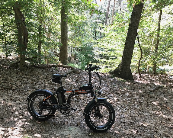
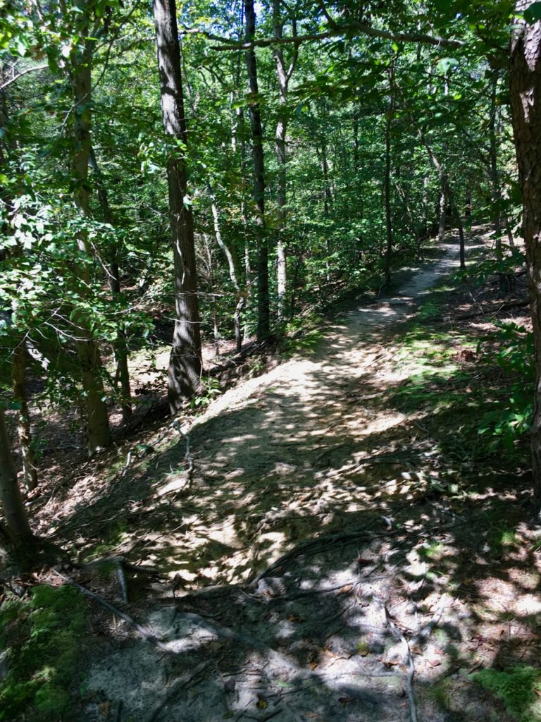
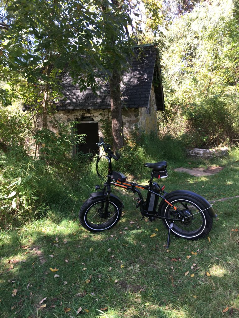
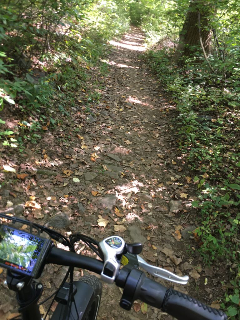
E-Biking Along the Rancocas
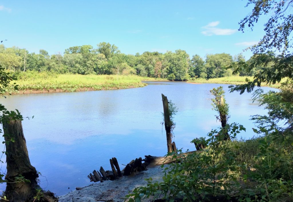
Rancocas State Park is in Burlington County, New Jersey, where the North and South branches of Rancocas Creek meet to form the Forks of the Rancocas. A Lenape village was formerly located here and in the 18th century, agriculturalist Charles Read owned the land. More houses were built in the 19th century, but in the first decade of the 20th century, much of the land was mined for sand, permanently altering the landscape and likely destroying any archaeological remains. Some ruins survived to the present, and trees and other vegetation now cover the scars from mining.
My Radmini e-bike had no trouble with the trails, which includes loose sand, packed sand, lots of roots, a little bit of mud, and the occasional log.