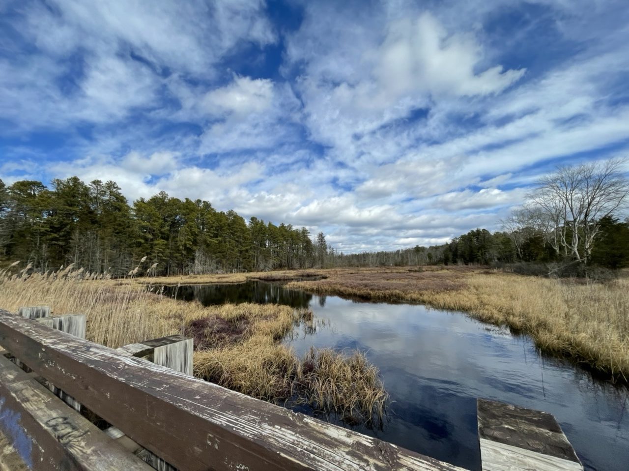
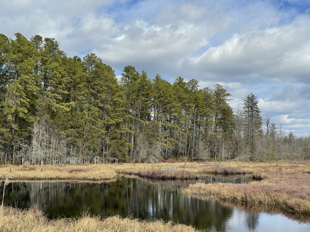
Just Another Pine Barrens Pond
You begin to interest me…vaguely
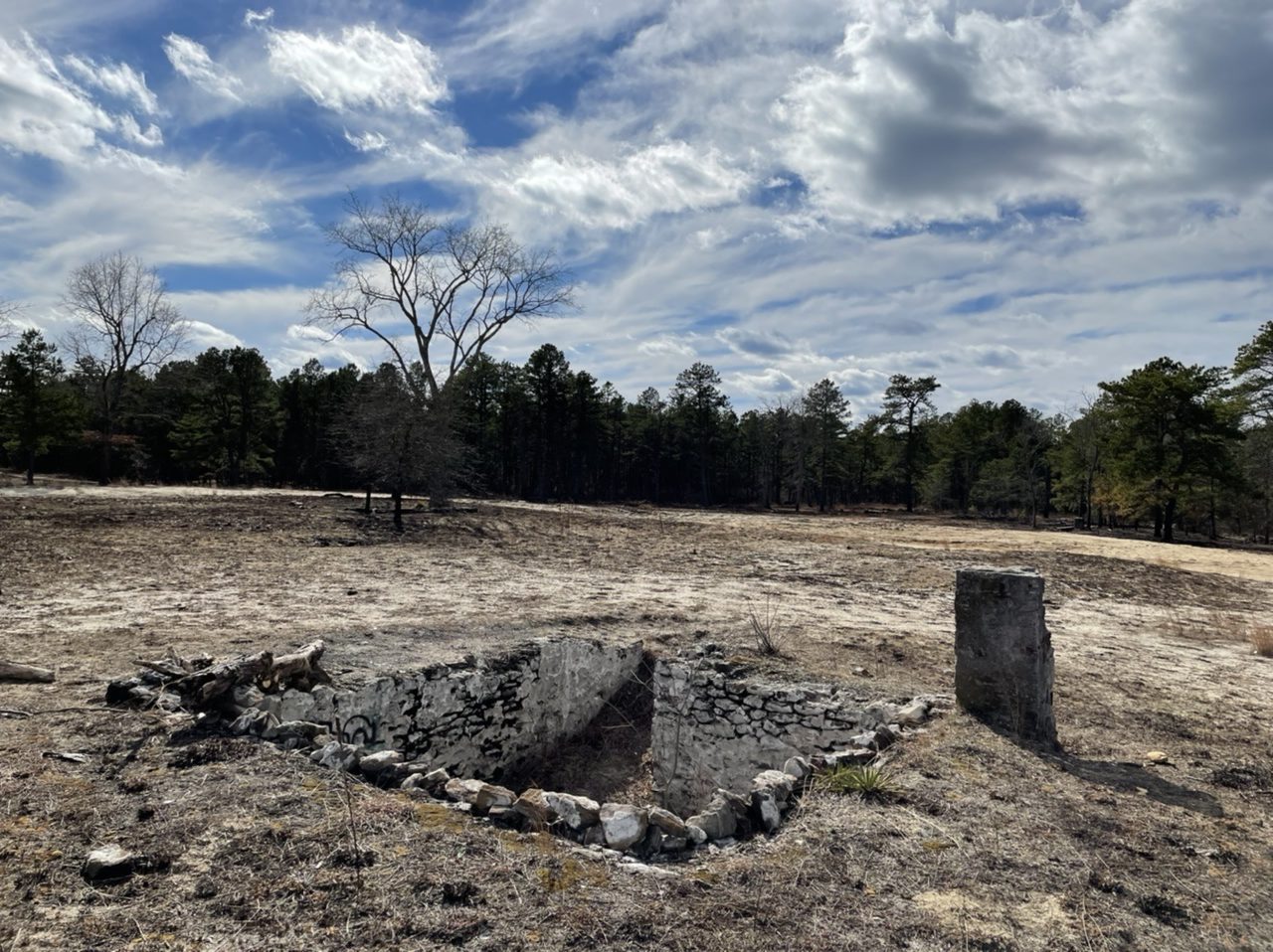
Speaking of ghost towns, Friendship is one of many abandoned towns in the New Jersey Pine Barrens. It was founded around the 1860s as a cranberry farming town. Cranberry packing finally ended around 1960 or so, and at least some people were still living here into the 1970s. The cranberry bogs are still here.
Coincidentally I visited here about a week after controlled burning by the New Jersey Forest Fire Service, so it was much easier to see many of the old building foundations.


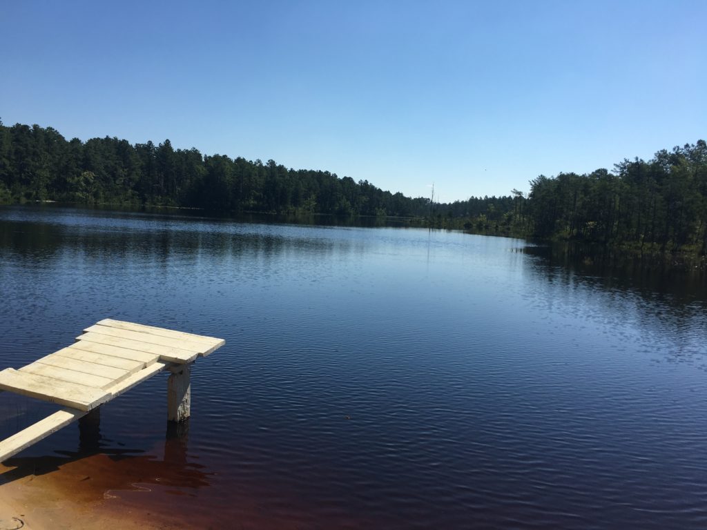
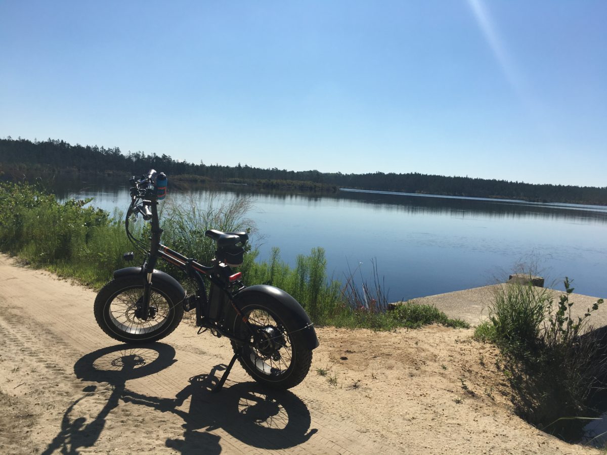
My first time biking at Whitesbog, the birthplace of the blueberry, was almost a year ago. Today was hotter and the water in Hanover Pond and the cranberry bogs looked very inviting.
As peaceful as it is, Hanover Pond is part of what has been called a “highly engineered agricultural water supply system” for growing cranberries. Whitesbog was already a large, established cranberry operation when Gaunt’s Brook was dammed in 1896 to create Hanover Pond. Water from the pond is channeled into Whitesbog’s Upper Reservoir, built around the same time.


The Black Run Preserve is 1,300 acre tract of pine barrens in Evesham Township, New Jersey. There is a an active friends group that has developed an extensive network of multi-use and hiking only trails; recently REI has also been involved.


Some would call the region through which it passes “desolate”; a better word would be “subtle”
A.D. Pierce, Iron in the Pines 1957

By the 1700s, a road, which likely followed a pre-existing Native American trail, ran from Camden, New Jersey, to the port town of Tuckerton on the Atlantic coast. According to local histories, to make their travel to yearly meetings easier, Quakers built a bridge over the Batsto River around 1772. The bridge predictably became known as the Quaker Bridge, and the road that passed over it became Quaker Bridge Road. In the 1800s, horse-drawn stage coaches regularly carried both mail and passengers through the Pine Barrens along this route.
In 1809, Arthur and Elizabeth Thompson opened the Quaker Bridge Hotel, also known as Thompson’s Tavern, just south of the bridge. The tavern remained open until at least 1850. Any remnants of the building vanished many years ago.
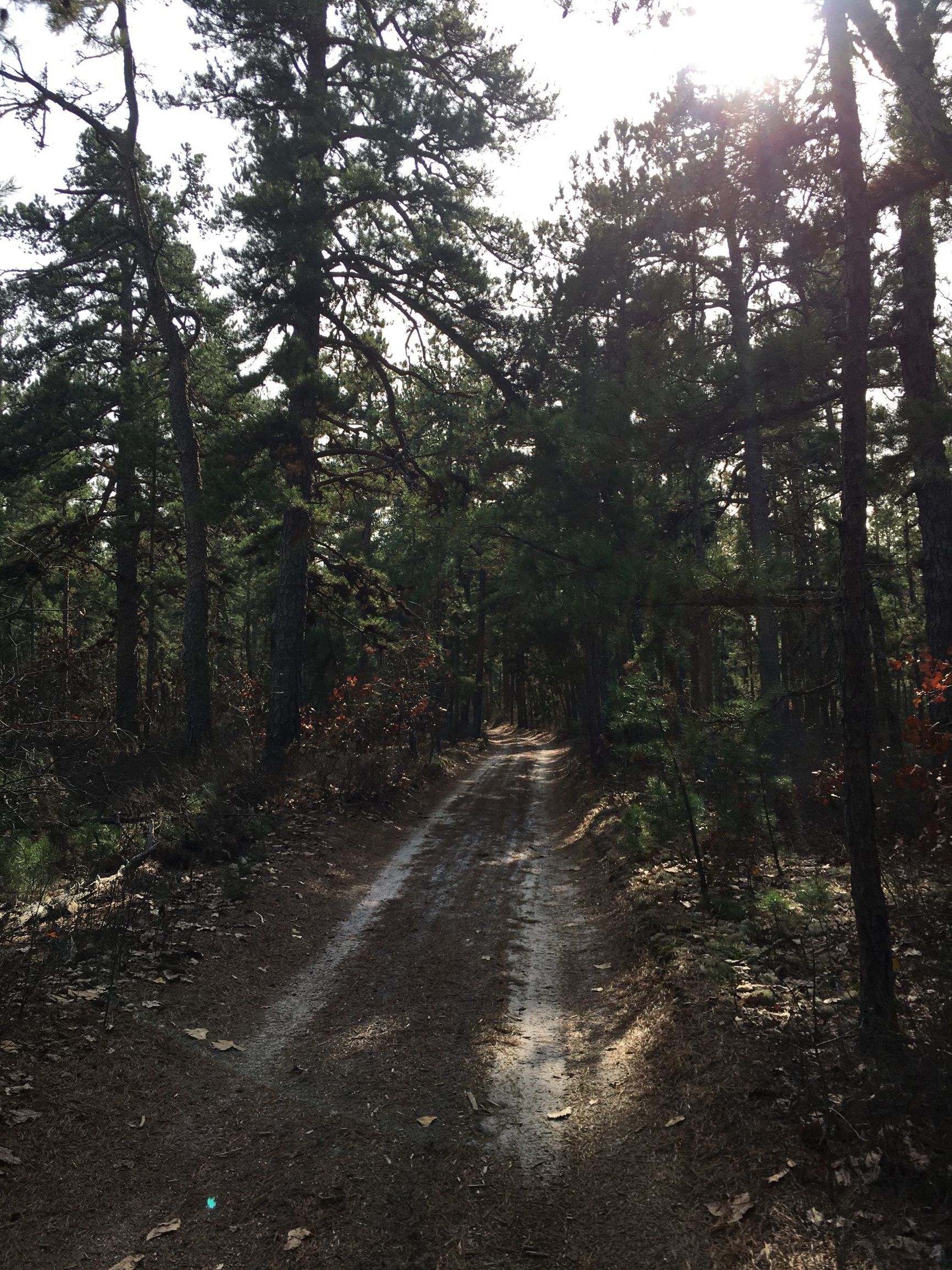
The area is now part of Wharton State Forest and Quaker Bridge Road is still a sandy trail through the barrens. On a pleasantly warm November day, there were few other people around: another (non-electric) fat bike, some hikers, a big dog, a couple of motorcycles, one jeep. From Atsion, a former company town and farming community, to the Quaker Bridge is about four miles. With some diversions, my round trip was 15 miles.


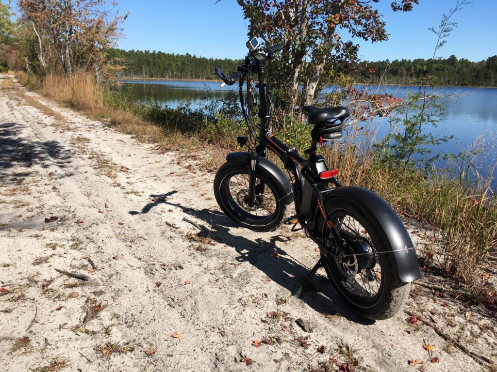
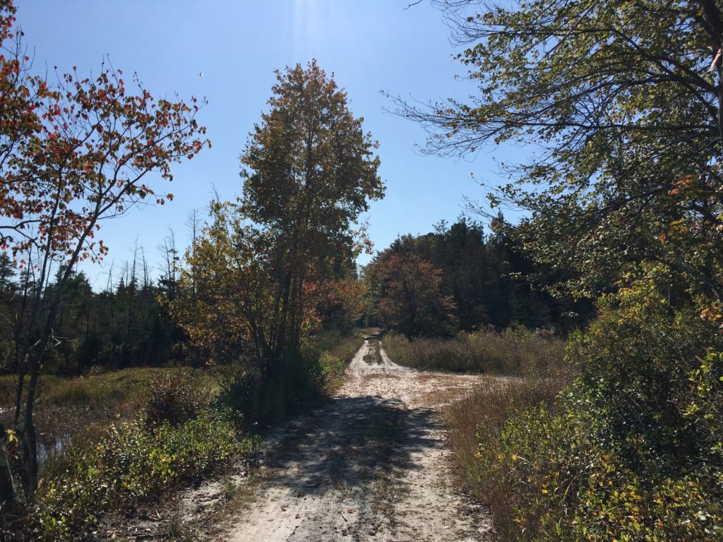
Fall colors are appearing in the Pine Barrens. I rode about 10 miles on parts of the Mt. Misery trail and Glass House Road in Brendan Byrne State Forest, which provide a mix of paved roads, wide graded sand roads, and single track closely hemmed by bushes and trees. I must have been the first visitor that morning, because I was constantly riding through webs spanning the trail and when I stopped for a bit, there were at least three spiders still hanging on to the front of my bike.
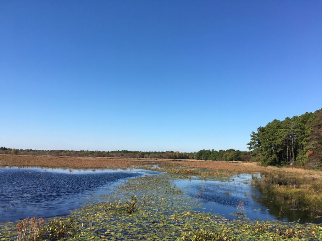
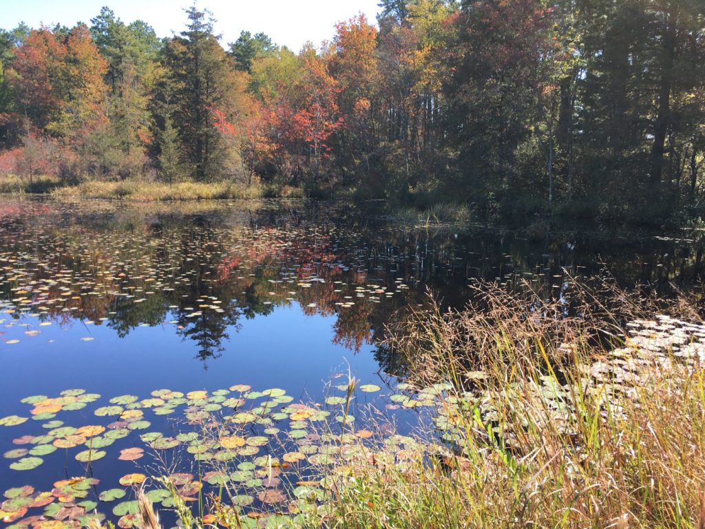
Near the end of the ride, the Reeves cranberry bogs provided a peerless photographic opportunity. The bogs were created by William H. Reeves at the beginning of the twentieth century and remained in operation for at least half a century.
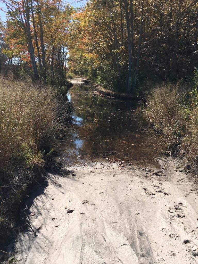
The roads around the bogs had some soft sand. The RadMini did not seem to have a problem with it, but I did almost wipe out plowing through a turn a little too fast.
Whitesbog is where, in 1916, Elizabeth White and Frederick Coville produced the first commercial crop of blueberries. Before that, Whitesbog was a cranberry farm, and before that, it was part of the Pine Barren’s bog iron industry. It’s now part of New Jersey’s Brendan Byrne State Forest and sand roads surround its cranberry bogs.