The New Scout on the Old Scout Trail Guide

Volkswagen obtained the trademark to the International Scout name a few years ago and, on October 24, the new Scout Motors will officially reveal an all-electric Scout vehicle. In the meantime, they have been leaning into International Harvester Scout history on their website.

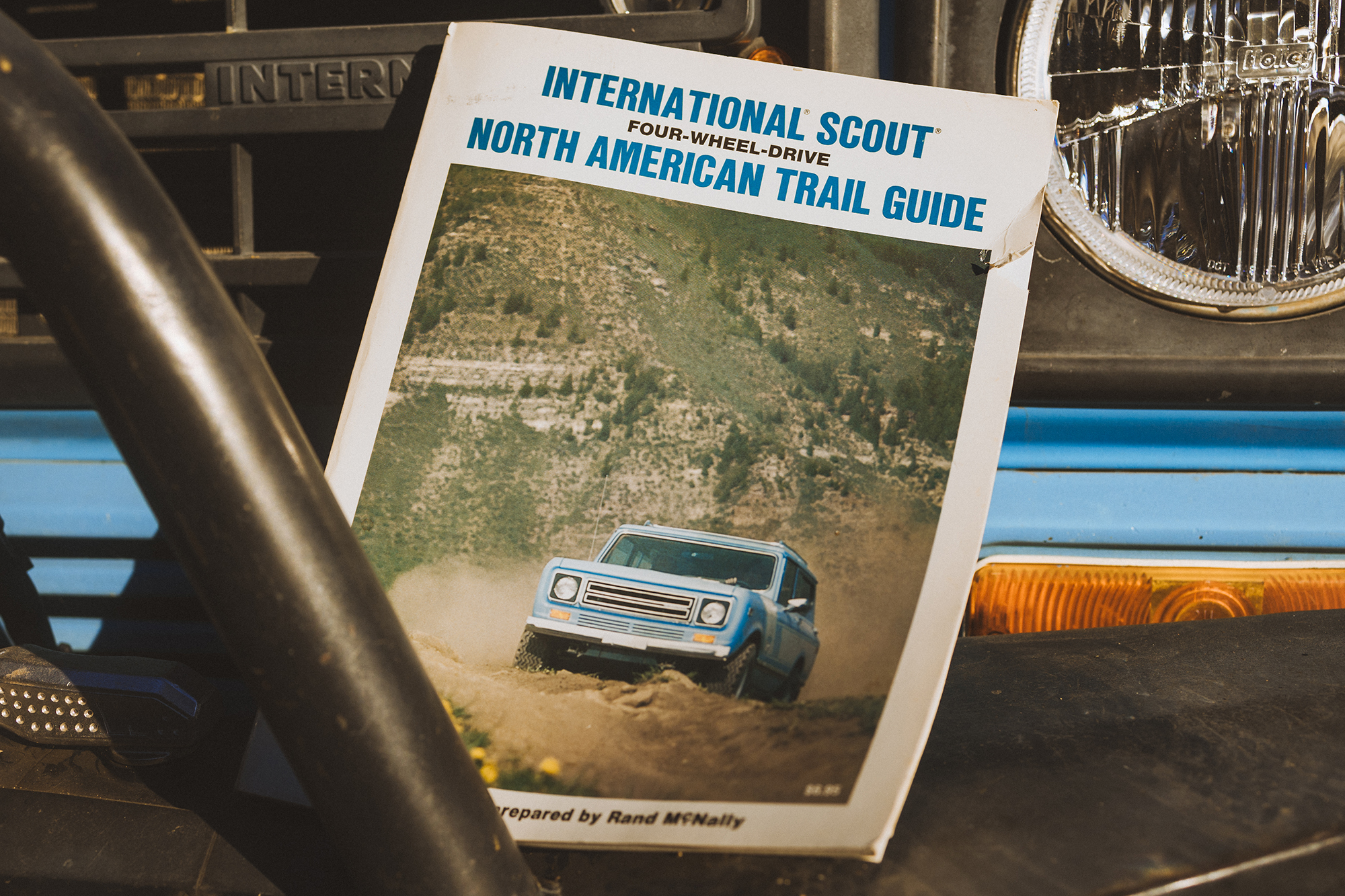
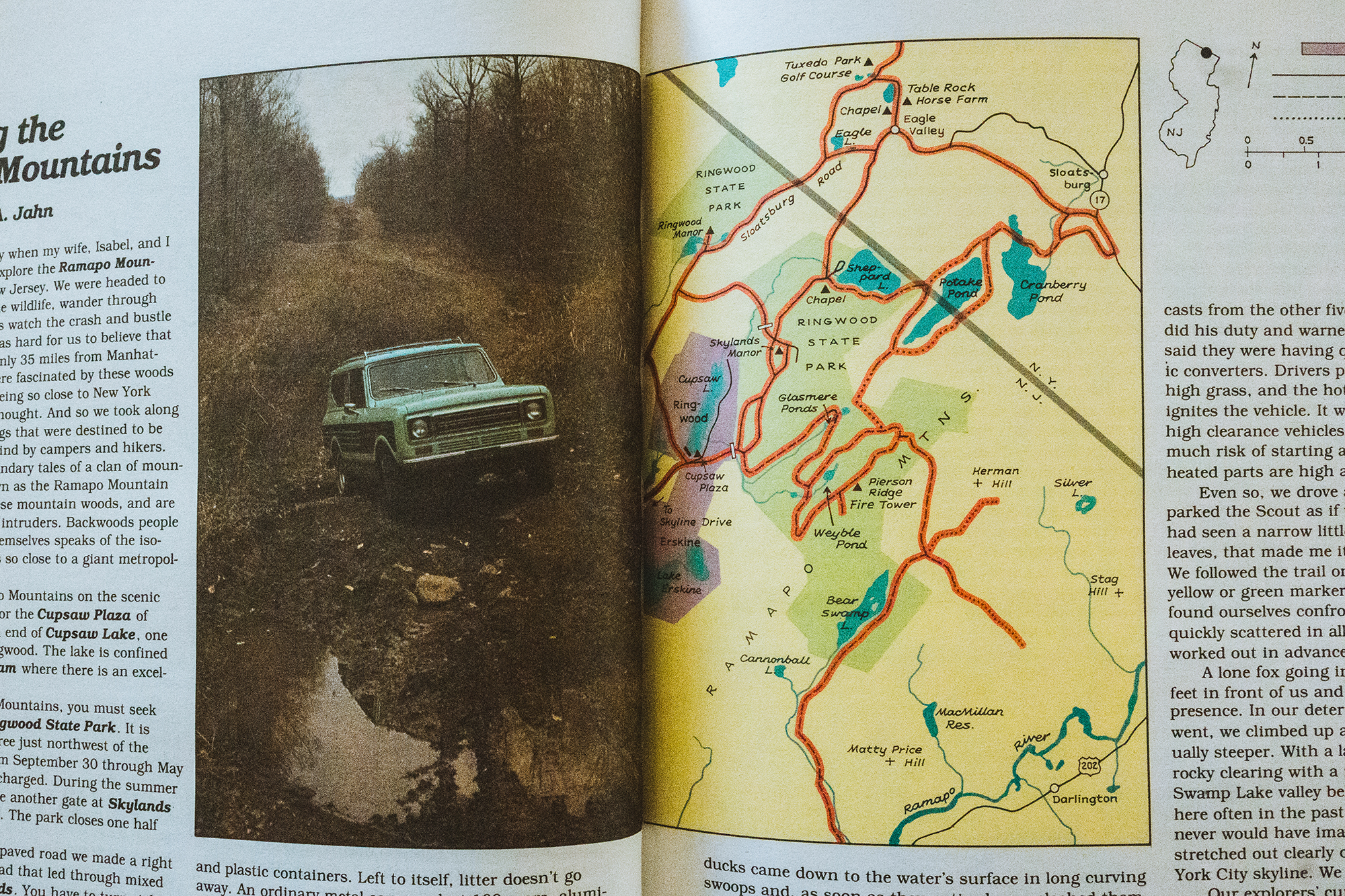
Witness their recent post on the 1979 International Scout Four-Wheel-Drive Trail Guide, a thick (224 pages!) combination atlas and collection of essays on 4×4 trails across America, including, based on the photo below, at least one in New Jersey that may no longer be off-road.
Source: Scoutmotors.com

Vanished Springs and Wells of New York City

Around the turn of the last century, James Reuel Smith documented and photographed the natural springs and wells of New York City. Why? Well, he was born into a wealthy family and was clearly interested in fresh water.

Most were in the northern part of the city where there was less development and drinking water piped in through the Croton Aqueduct was not as readily available. Smith rode his bike to these locations, and that’s presumably his ride in the photo below, taken in 1897. His kit includes a couple of leather bags attached to the bike frame as well as a rear rack, perhaps used to hold his camera. You can see a communal tin cup hanging on a branch of the tree growing next to the spring, as well as the flat rocks laid around the spring opening.

Gun Hill Spring on Mosholu Parkway near Van Cortlandt Park, Bronx, New York City, September 15, 1897. James Reuel Smith Springs and Wells Photograph Collection, 1893-1902, New York Historical Society.
Well located at W. 188th Street and Webb Avenue, 400 feet east of Sedgwick Avenue and south of Webb Academy, Bronx, New York City, October 3, 1897. James Reuel Smith Springs and Wells Photograph Collection, 1893-1902, New York Historical Society.

Smith’s interest in water sources was not limited to New York. In 1922 he published Springs and Wells in Greek and Roman Literature, their Legends and Locations. Springs and Wells of Manhattan and the Bronx: New York City at the End of the Nineteenth Century was published posthumously in 1938.

Historic Maps of Tyrone and other Towns around Lamoka

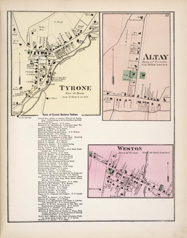
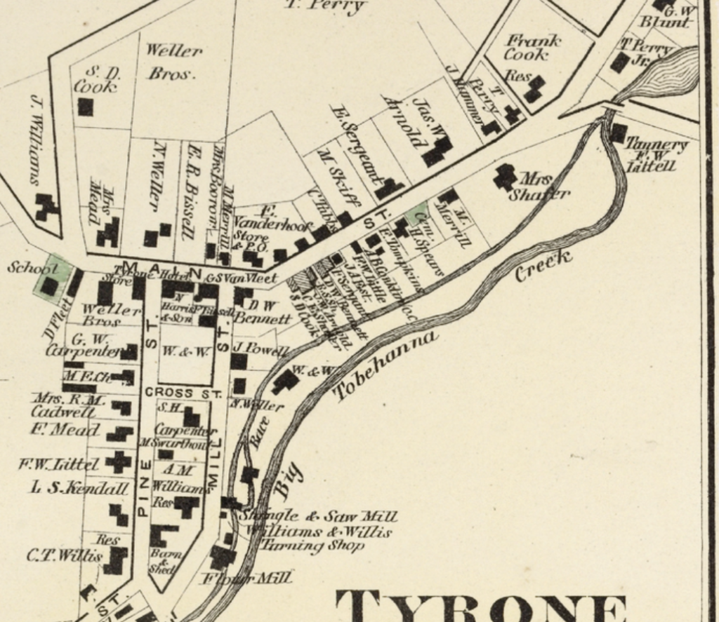
A while ago, I posted about the New York Public Library’s Map Warper project, which is making thousands of historic maps easily available. Well, the Map Warper project is still going strong, and here’s another map from their collection, which shows three small towns around Lamoka Lake. Taken from the 1874 Atlas of Schuyler County, the map also lists many of the farmers and other businessmen in the area.

Detail of 1874 map. Source: New York Public Library

You can also see what Wayne, at the top of Waneta Lake (which was still called Little Lake in 1874) looked like in the 19th century at the NYPL.

How did Lamoka Lake get its name?

Lamoka is a word that you don’t see used much other than for the lake itself, and the prehistoric archaeological culture found along its shores. Does anyone know where its name came from?

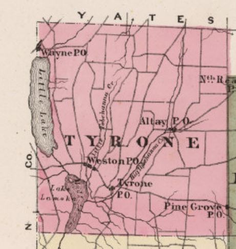
On early maps, including the 1829 Atlas of New York and the 1869 New Map of the State of New York, Lamoka is named Mud Lake, and Waneta Lake to the north is called Little Lake. By 1874, in an atlas of Schuyler County (see more of the 1874 Atlas here), Lamoka Lake appears on the map, although Little Lake is still used for Waneta. In the 1879 book History of Tioga, Chemung, Tompkins and Schuyler Counties, New York, “Lamoka” is used repeatedly, and Little Lake has become “Wanetta.”

1874 Map of Schuyler County.

I’m not surprised they changed the name – there are at least 30 other Mud lakes in New York, and Lamoka has a nice sound to it—but I’d like to know where they got the name from.

If anybody knows, or has any clues, please leave a comment!

Open Access Maps

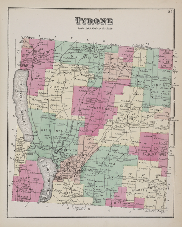
The New York Public Library has scanned and released 20,000 historical maps under a Creative Commons license, including this 1874 map of Tyrone Township showing Lamoka Lake.

you can have the maps, all of them if you want, for free, in high resolution. We’ve scanned them to enable their use in the broadest possible ways by the largest number of people.

That’s a low resolution map below, go to the NYPL Map Warper to see this in high resolution. The library is crowdsourcing the georectification of these maps, which you can also do at the Map Warper.

OpenCulture.com actually explains the georeferencing part better than the NYPL does. Essentially, you can can overlay the historic maps on modern maps, like in Google Earth. Yes, you can download them as .KML files.

Tyrone Township 1874. Low resolution copy. From The Lionel Pincus & Princess Firyal Map Division, The New York Public Library