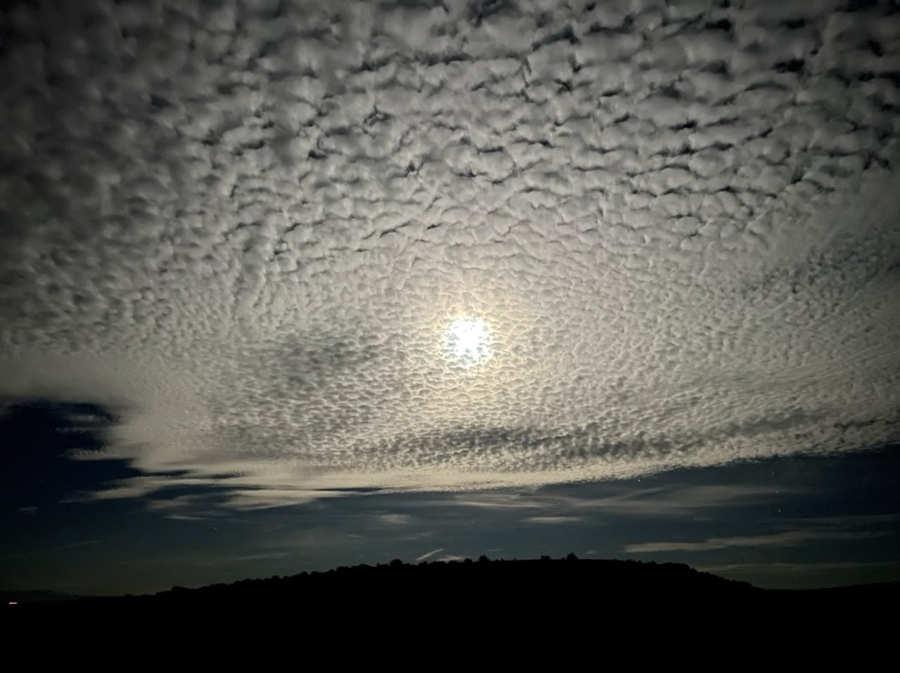
I’m falling behind, so here are some photos from a nighttime hike along the Rainbow Vista trail to the Fire Canyon overlook in Valley of Fire State Park.


You begin to interest me…vaguely
I’m falling behind, so here are some photos from a nighttime hike along the Rainbow Vista trail to the Fire Canyon overlook in Valley of Fire State Park.
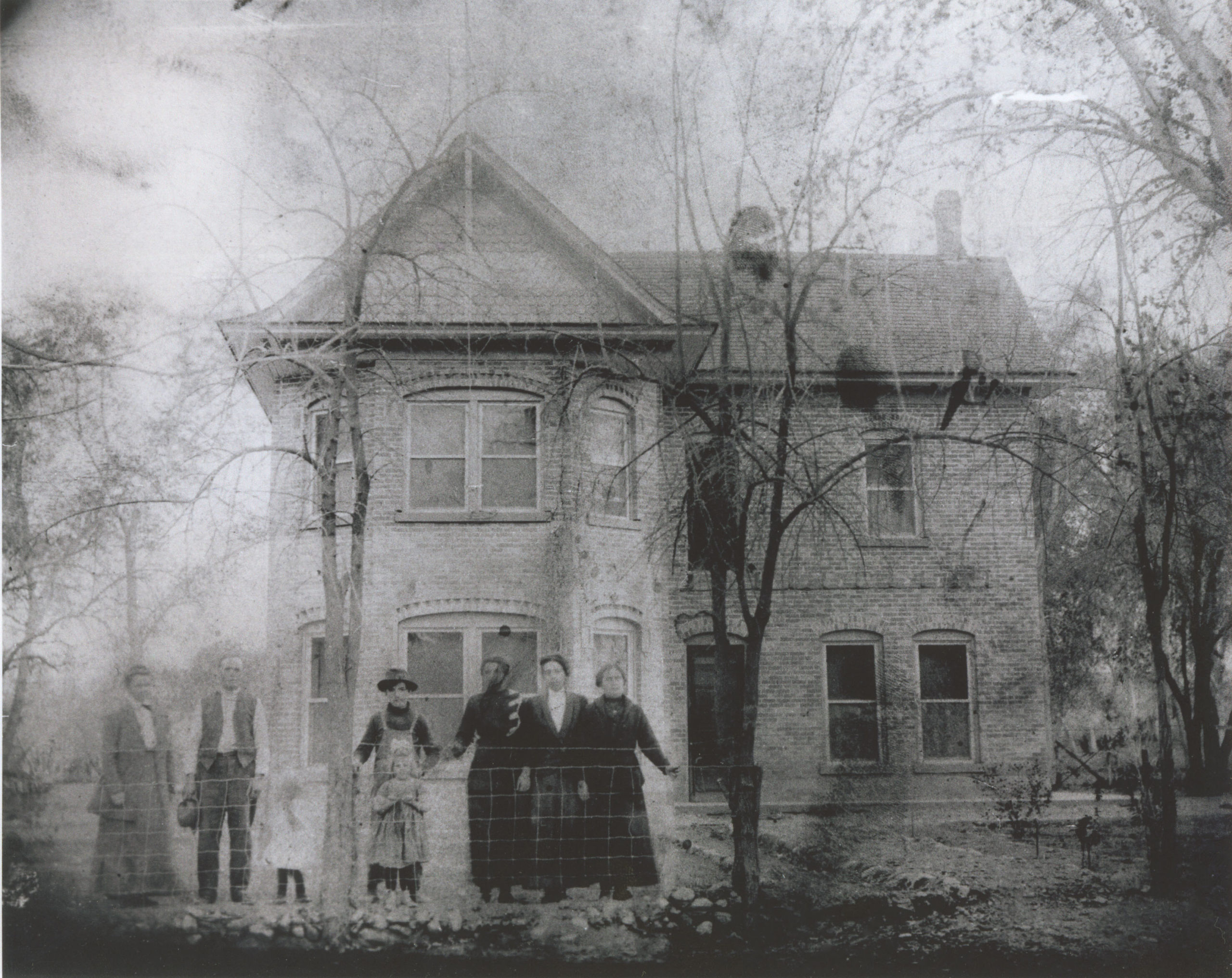
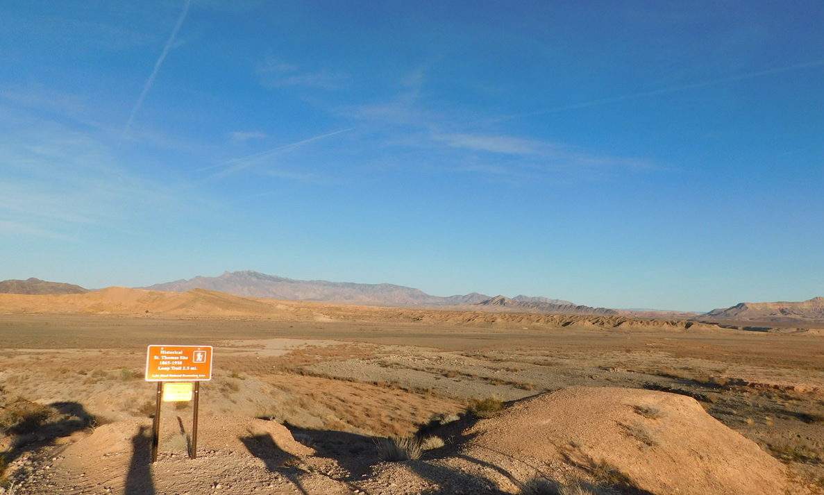
The town of St. Thomas, Nevada, was settled by Mormons in 1865. On August 31, 1869, John Wesley Powell’s First Colorado River Expedition, which culminated in the first recorded passage by raft through the Grand Canyon, came to an end about twenty miles from here. Bishop Leithead of St. Thomas, informed that Powell had, in fact, survived his expedition, rode to meet him. “Bishop Leithhead,” Powell wrote, “brings in his wagon two or three dozen melons, and many other little luxuries, and we are comfortable once more.”
Only two years later, most of the original settlers left due to a dispute over taxes. Other people later moved in and at its peak, the town had over 500 citizens. When Hoover Dam was built in the 1930s, the government bought out the residents. The last person left in 1938 as the town was inundated by the rising waters of the newly-created Lake Mead.
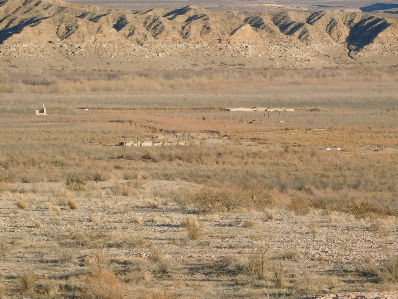
In wetter times, the site lay under 60 feet of water. As lake levels receded with the ongoing drought of the 21st century, the remains of the town have been exposed again.

To get to St. Thomas, you turn off of Northshore Road and drive 3.5 miles down a rocky dirt road. There’s a parking area, from which you can head down hill to a 2.5 mile hiking trail. We arrived late on a December afternoon and had someplace else to get to before nightfall, so only had time to view the building foundations from a distance.


Reference:
John Wesley Powell, 1875. Exploration of the Colorado River of the West and its tributaries. Explored in 1869, 1870, 1871, and 1872, under the direction of the secretary of the Smithsonian institution. Government Printing Office, Washington.
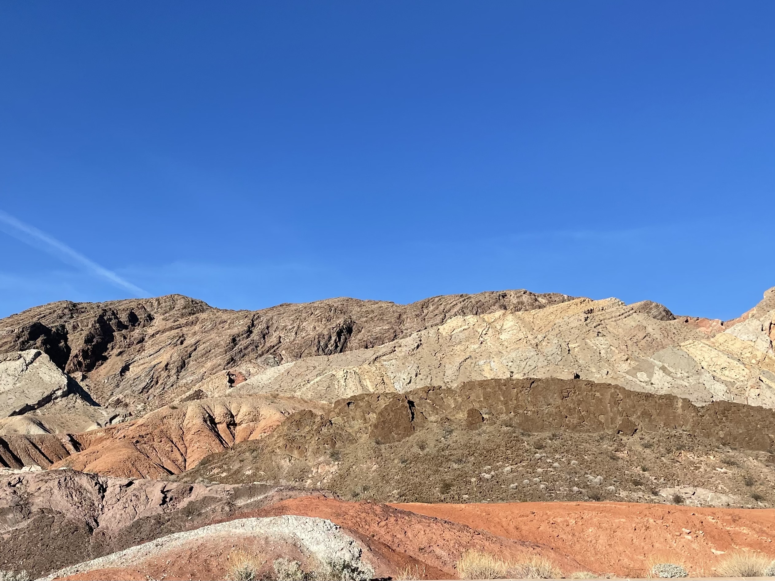
Northshore Road runs along, yes, the north shore of Lake Mead. The shoreline itself is now far east of the road because of long-term drought in the region. Coming west from Hoover Dam, we turned onto it near Lake Las Vegas and drove it up to Valley of Fire, stopping several times along the way.


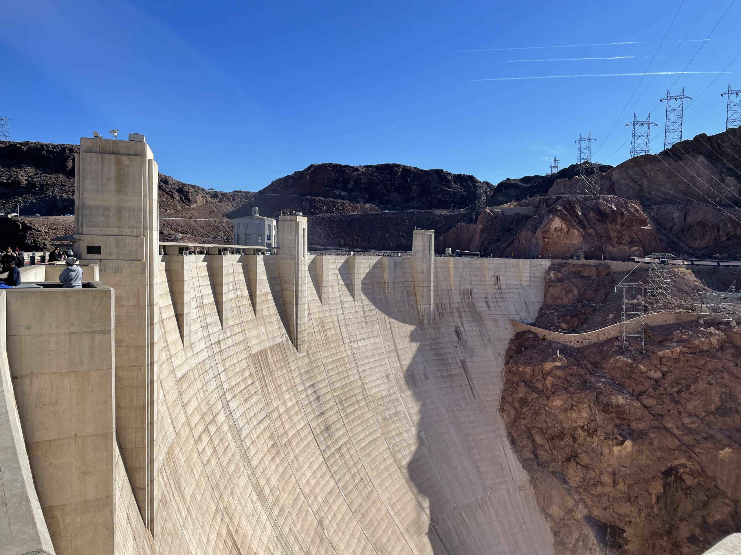
My first visit to Hoover Dam, and it’s incredible to see both how big the dam is and how low the water level is behind the dam. In December of 2021, the water elevation of Lake Mead was 1,065 feet above sea level – almost 200 feet lower than its maximum level, and the lowest level since the 1930s, when the lake basin was still being filled.


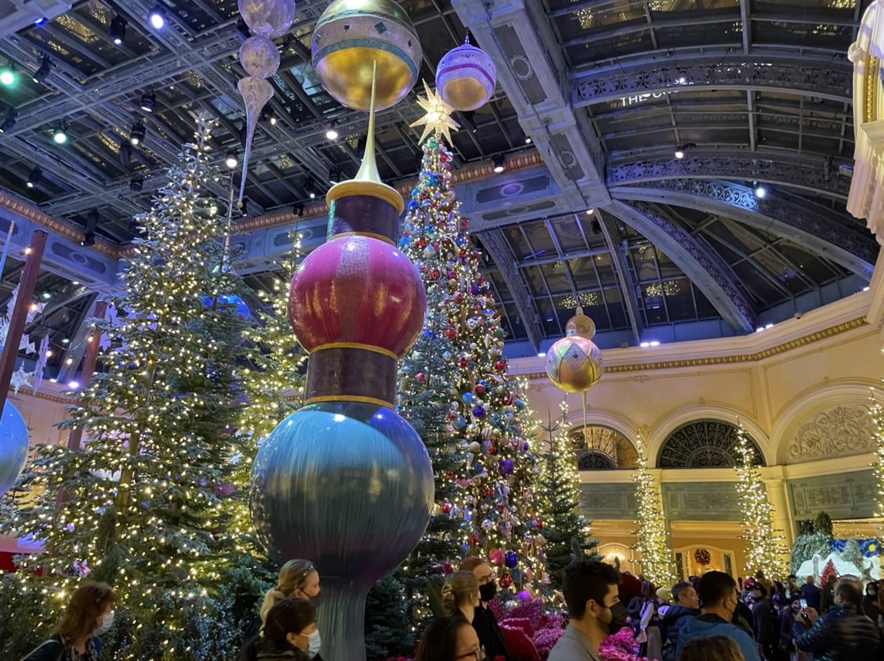
Featured image: The Bellagio Conservatory.
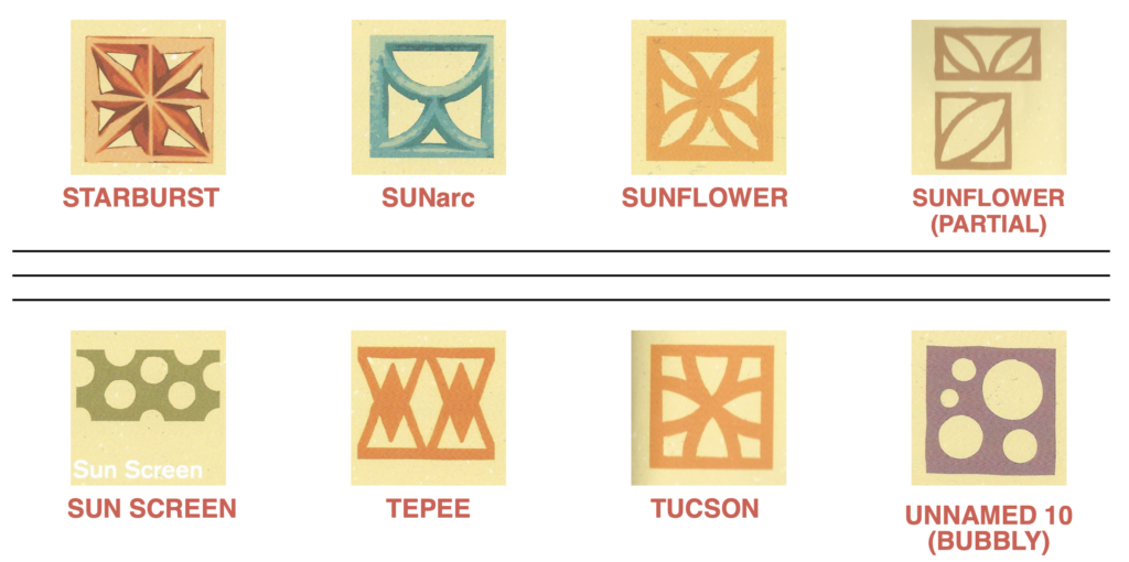
Identify the different styles of breeze block in those mid-century houses in Vegas, Palm Springs, and elsewhere with this Field Guide produced by the Nevada Preservation Foundation and based on the book by Ron and Barbara Marshall.

Discovered another Trowelblazers post with a Lamoka connection, which led me into the interesting and complex family history of Arthur Parker.
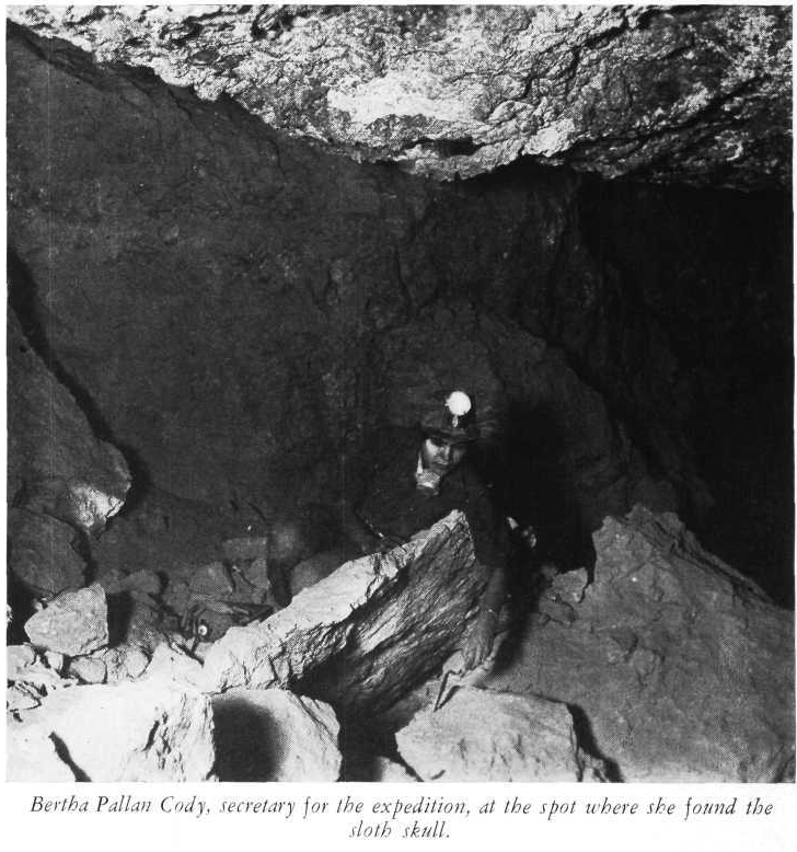
Bertha “Birdie” Parker Pallan Thurston Cody was the daughter of Beulah Tahamont Parker and Arthur Parker, New York State Archaeologist and Rochester Museum director. She had an interesting and complicated life of her own, working as an archaeologist/anthropologist at the Southwest Museum in Los Angeles, California for many years. That was only part of her life, however.

Spray paint and bullets were used to deface Hidden Cave, a major archaeological site on BLM land in Nevada. A $1,000 reward is being offered, and public tours of the site have been suspended while officials investigate. According to the official press release, this is the first incidence of vandalism at the site.
Hidden Cave was most extensively excavated by David Hurst Thomas and the American Museum of Natural History and provided valuable information on Late Archaic hunter-gatherers. The Museum has a nice post on the history of the cave, (conditions in the cave during excavation sound horrid) and they also make the full site report freely available.
There’s a Lamoka connection, too: Mark R. Harrington, the first archaeologist to explore Hidden Cave, was married to the sister of Arthur Parker, head of the Rochester Museum while Lamoka Lake was being excavated in the 1920s.