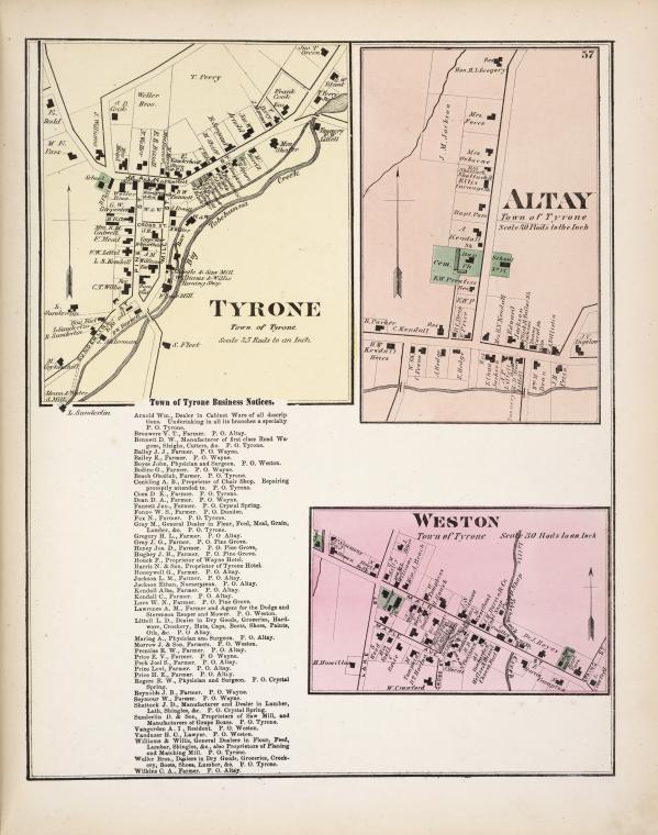
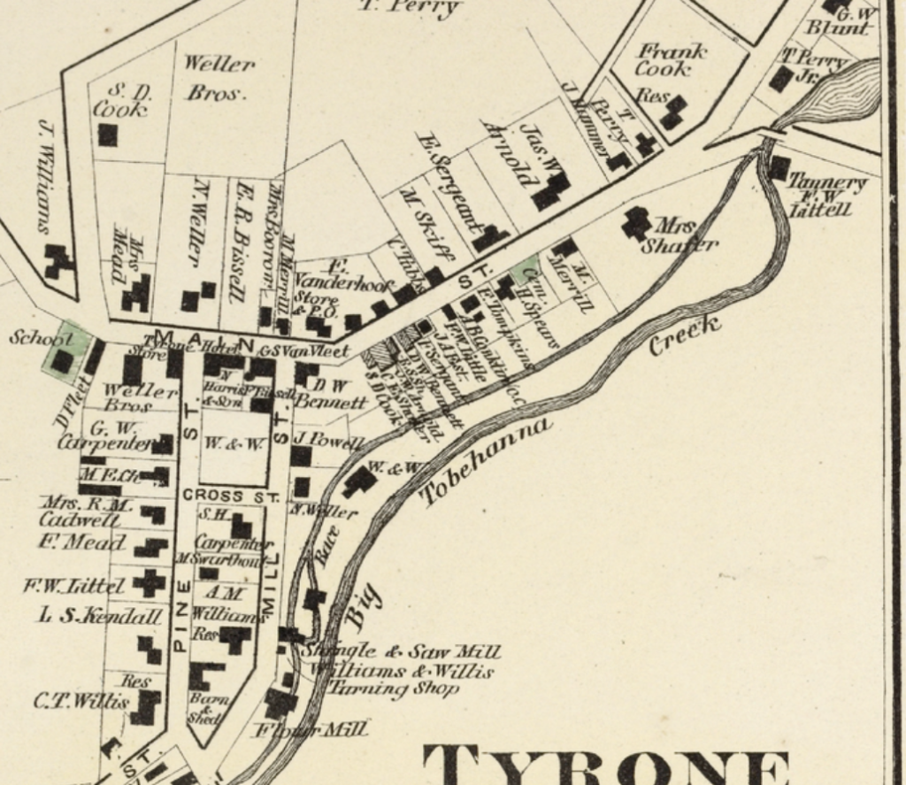
A while ago, I posted about the New York Public Library’s Map Warper project, which is making thousands of historic maps easily available. Well, the Map Warper project is still going strong, and here’s another map from their collection, which shows three small towns around Lamoka Lake. Taken from the 1874 Atlas of Schuyler County, the map also lists many of the farmers and other businessmen in the area.
You can also see what Wayne, at the top of Waneta Lake (which was still called Little Lake in 1874) looked like in the 19th century at the NYPL.
1 comment